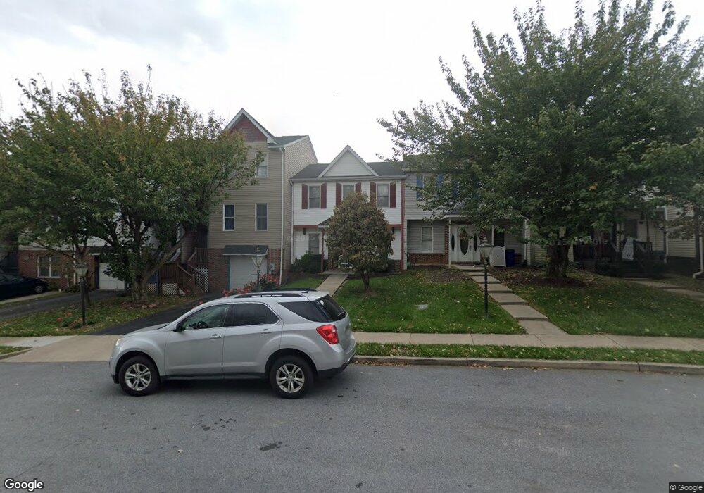
651 Knightsbridge Dr Hagerstown, MD 21740
South End NeighborhoodEstimated Value: $220,000 - $254,000
--
Bed
2
Baths
1,188
Sq Ft
$201/Sq Ft
Est. Value
About This Home
This home is located at 651 Knightsbridge Dr, Hagerstown, MD 21740 and is currently estimated at $238,298, approximately $200 per square foot. 651 Knightsbridge Dr is a home located in Washington County with nearby schools including Emma K. Doub Elementary School, E. Russell Hicks Middle School, and South Hagerstown High School.
Ownership History
Date
Name
Owned For
Owner Type
Purchase Details
Closed on
Jul 3, 1989
Sold by
Kenly Farms Ptsp
Bought by
Lawson Robin H
Current Estimated Value
Home Financials for this Owner
Home Financials are based on the most recent Mortgage that was taken out on this home.
Original Mortgage
$53,000
Interest Rate
10.07%
Create a Home Valuation Report for This Property
The Home Valuation Report is an in-depth analysis detailing your home's value as well as a comparison with similar homes in the area
Home Values in the Area
Average Home Value in this Area
Purchase History
| Date | Buyer | Sale Price | Title Company |
|---|---|---|---|
| Lawson Robin H | $69,900 | -- |
Source: Public Records
Mortgage History
| Date | Status | Borrower | Loan Amount |
|---|---|---|---|
| Closed | Lawson Robin H | $53,000 |
Source: Public Records
Tax History Compared to Growth
Tax History
| Year | Tax Paid | Tax Assessment Tax Assessment Total Assessment is a certain percentage of the fair market value that is determined by local assessors to be the total taxable value of land and additions on the property. | Land | Improvement |
|---|---|---|---|---|
| 2025 | $1,451 | $178,200 | $30,000 | $148,200 |
| 2024 | $1,451 | $159,333 | $0 | $0 |
| 2023 | $1,280 | $140,467 | $0 | $0 |
| 2022 | $1,108 | $121,600 | $30,000 | $91,600 |
| 2021 | $1,152 | $115,000 | $0 | $0 |
| 2020 | $1,009 | $108,400 | $0 | $0 |
| 2019 | $952 | $101,800 | $30,000 | $71,800 |
| 2018 | $952 | $101,800 | $30,000 | $71,800 |
| 2017 | $952 | $101,800 | $0 | $0 |
| 2016 | -- | $103,000 | $0 | $0 |
| 2015 | $2,878 | $103,000 | $0 | $0 |
| 2014 | $2,878 | $103,000 | $0 | $0 |
Source: Public Records
Map
Nearby Homes
- 628 Knightsbridge Dr
- 0 Kenly Ave
- 1002 Brinker Dr Unit 302
- 1026 302 Brinker Dr
- 920 Frederick St
- 843 Frederick St
- 12.3 AC Southern Blvd
- Lot 7-16 Lawton Ln
- 202 S Fork Dr
- 829 Rose Hill Ave
- 147 Buttercup Dr
- 920 Pope Ave
- 906 Pope Ave
- 137 Sunflower Dr
- 24 W Cemetery St
- 1432 Oak Ridge Place
- 703-705 Mt Aetna Rd
- 535 Frederick St
- 725 S Potomac St
- 1037 & 1037 1/2 Spruce St
- 653 Knightsbridge Dr
- 649 Knightsbridge Dr
- 647 Knightsbridge Dr
- 657 Knightsbridge Dr
- 645 Knightsbridge Dr
- 643 Knightsbridge Dr
- 659 Knightsbridge Dr
- 650 Knightsbridge Dr
- 652 Knightsbridge Dr
- 654 Knightsbridge Dr
- 656 Knightsbridge Dr
- 658 Knightsbridge Dr
- 660 Knightsbridge Dr
- 641 Knightsbridge Dr
- 639 Knightsbridge Dr
- 637 Knightsbridge Dr
- 635 Knightsbridge Dr
- 633 Knightsbridge Dr
- 631 Knightsbridge Dr
- 642 Knightsbridge Dr