651 Mesa Rd Fredericksburg, TX 78624
Estimated Value: $506,430 - $1,607,000
--
Bed
1
Bath
2,504
Sq Ft
$369/Sq Ft
Est. Value
About This Home
This home is located at 651 Mesa Rd, Fredericksburg, TX 78624 and is currently estimated at $923,858, approximately $368 per square foot. 651 Mesa Rd is a home located in Gillespie County with nearby schools including Fredericksburg High School.
Ownership History
Date
Name
Owned For
Owner Type
Purchase Details
Closed on
Oct 30, 2007
Sold by
Richardson Julie A
Bought by
Adams Penny S
Current Estimated Value
Home Financials for this Owner
Home Financials are based on the most recent Mortgage that was taken out on this home.
Original Mortgage
$145,000
Outstanding Balance
$91,278
Interest Rate
6.37%
Estimated Equity
$832,580
Create a Home Valuation Report for This Property
The Home Valuation Report is an in-depth analysis detailing your home's value as well as a comparison with similar homes in the area
Home Values in the Area
Average Home Value in this Area
Purchase History
| Date | Buyer | Sale Price | Title Company |
|---|---|---|---|
| Adams Penny S | -- | None Available |
Source: Public Records
Mortgage History
| Date | Status | Borrower | Loan Amount |
|---|---|---|---|
| Open | Adams Penny S | $145,000 |
Source: Public Records
Tax History Compared to Growth
Tax History
| Year | Tax Paid | Tax Assessment Tax Assessment Total Assessment is a certain percentage of the fair market value that is determined by local assessors to be the total taxable value of land and additions on the property. | Land | Improvement |
|---|---|---|---|---|
| 2025 | $4,629 | $442,310 | $27,920 | $414,390 |
| 2024 | $4,629 | $452,030 | $27,920 | $424,110 |
| 2023 | $3,624 | $422,435 | $0 | $0 |
| 2022 | $4,387 | $382,750 | $19,370 | $363,380 |
| 2021 | $4,503 | $338,950 | $14,200 | $324,750 |
| 2020 | $4,174 | $279,200 | $12,650 | $266,550 |
| 2019 | $4,359 | $279,200 | $12,650 | $266,550 |
| 2018 | $3,958 | $256,350 | $10,580 | $245,770 |
| 2017 | $3,679 | $247,760 | $9,800 | $237,960 |
| 2016 | $3,345 | $210,560 | $9,800 | $200,760 |
| 2015 | -- | $201,980 | $9,800 | $192,180 |
| 2014 | -- | $191,570 | $9,800 | $181,770 |
Source: Public Records
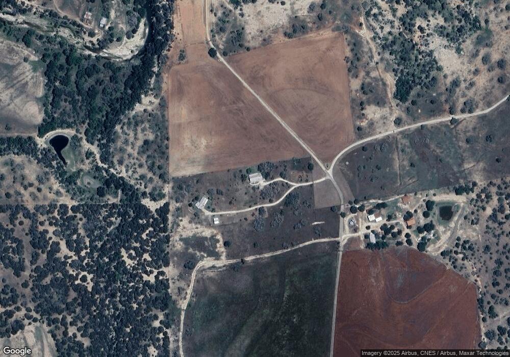
Map
Nearby Homes
- 1213 Kott Rd
- 1556 Pfiester Rd
- 232 Ole Buck's Ln
- 0 Pfiester Rd Unit 98535
- 506 Southwoods Dr
- 647 Funf Kinder Rd
- 647 Funf Kinder Rd Unit 9
- Lot 3 Oakwater Dr Unit 3
- Lot 3 Oakwater Dr
- Tract 75 Pinnacle Dr
- 6589 Fm 2093
- 101 S Spies Ridge Dr
- 810 Clear Creek Ln
- 283 Soaring Eagles Dr
- Lot 41 Buckskin Path Path
- 0 N Spies Ridge Dr Unit 18035174
- Lot 20 N Spies Ridge Dr Unit 20
- Lot 13 N Spies Ridge Dr Unit 13