651 Orchard Ridge Rd Bloomfield Hills, MI 48304
Estimated Value: $1,782,000 - $2,435,000
4
Beds
6
Baths
4,339
Sq Ft
$468/Sq Ft
Est. Value
About This Home
This home is located at 651 Orchard Ridge Rd, Bloomfield Hills, MI 48304 and is currently estimated at $2,032,770, approximately $468 per square foot. 651 Orchard Ridge Rd is a home located in Oakland County with nearby schools including Way Elementary School, South Hills Middle School, and Bloomfield Hills High School.
Ownership History
Date
Name
Owned For
Owner Type
Purchase Details
Closed on
Oct 1, 2013
Sold by
Jerome Leo and Jerome Eleanor Story
Bought by
Hantz Lauren
Current Estimated Value
Create a Home Valuation Report for This Property
The Home Valuation Report is an in-depth analysis detailing your home's value as well as a comparison with similar homes in the area
Home Values in the Area
Average Home Value in this Area
Purchase History
| Date | Buyer | Sale Price | Title Company |
|---|---|---|---|
| Hantz Lauren | $1,650,000 | Fidelity Natl Title Co Llc |
Source: Public Records
Tax History Compared to Growth
Tax History
| Year | Tax Paid | Tax Assessment Tax Assessment Total Assessment is a certain percentage of the fair market value that is determined by local assessors to be the total taxable value of land and additions on the property. | Land | Improvement |
|---|---|---|---|---|
| 2024 | $19,148 | $734,550 | $0 | $0 |
| 2023 | $18,421 | $700,420 | $0 | $0 |
| 2022 | $21,298 | $659,390 | $0 | $0 |
| 2021 | $20,515 | $646,110 | $0 | $0 |
| 2020 | $16,821 | $675,250 | $0 | $0 |
| 2019 | $19,097 | $658,080 | $0 | $0 |
| 2018 | $19,150 | $651,620 | $0 | $0 |
| 2017 | $18,951 | $633,720 | $0 | $0 |
| 2016 | $18,775 | $610,480 | $0 | $0 |
| 2015 | -- | $565,330 | $0 | $0 |
| 2014 | -- | $508,850 | $0 | $0 |
| 2011 | -- | $513,880 | $0 | $0 |
Source: Public Records
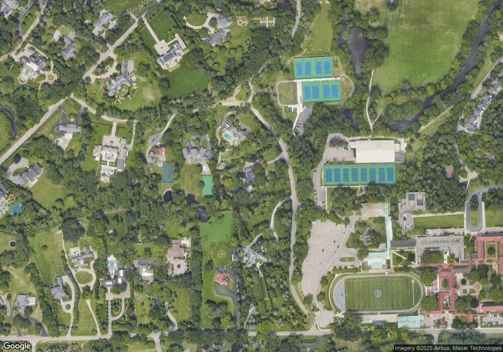
Map
Nearby Homes
- 692 Bennington Dr
- 931 Vaughan Rd
- 596 Rudgate Rd
- 4650 Lahser Rd
- 341 Keswick Rd
- 362 Keswick Rd
- 270 Martell Dr
- 275 Barden Rd
- 1348 Charrington Rd
- 130 Denbar Rd
- 1287 Charrington Rd
- 229 Barden Rd
- 110 Denbar Rd
- 1027 Joanne Ct
- 3797 Burning Tree Dr
- 5825 Lahser Rd
- 60 Kingsley Manor Dr
- 3546 Bloomfield Club Dr
- 3715 Lahser Rd
- 5080 Tootmoor Rd
- 671 Orchard Ridge Rd
- 625 Hillcrest Dr
- 650 Lone Pine Rd
- 601 Orchard Ridge Rd
- 635 Hillcrest Dr
- 680 Lone Pine Rd
- 700 Lone Pine Rd
- 780 Vaughan Rd
- 675 Hillcrest Dr
- 830 Vaughan Rd
- 730 Vaughan Rd
- 710 Lone Pine Rd
- 845 Orchard Ridge Rd
- 720 Lone Pine Rd
- 605 Lone Pine Rd
- 685 Hillcrest Dr
- 621 Lone Pine Rd
- 860 Vaughan Rd Unit Bldg-Unit
- 860 Vaughan Rd
- 676 Bennington Dr