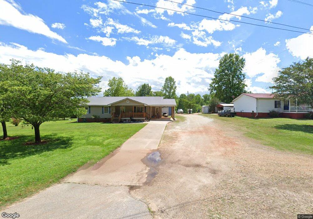
651 Playground Rd Walhalla, SC 29691
Estimated Value: $247,000 - $291,000
3
Beds
2
Baths
1,740
Sq Ft
$151/Sq Ft
Est. Value
About This Home
This home is located at 651 Playground Rd, Walhalla, SC 29691 and is currently estimated at $262,365, approximately $150 per square foot. 651 Playground Rd is a home with nearby schools including Walhalla Elementary School, Walhalla Middle School, and Walhalla High School.
Ownership History
Date
Name
Owned For
Owner Type
Purchase Details
Closed on
Dec 27, 2023
Sold by
Massey Raymond F
Bought by
Hub Ministries
Current Estimated Value
Home Financials for this Owner
Home Financials are based on the most recent Mortgage that was taken out on this home.
Original Mortgage
$330,000
Outstanding Balance
$286,283
Interest Rate
7.44%
Mortgage Type
Seller Take Back
Estimated Equity
-$23,918
Purchase Details
Closed on
Jun 30, 2014
Sold by
Massey Raymond F and Massey Janice
Bought by
Massey Raymond F and Massey Janice
Create a Home Valuation Report for This Property
The Home Valuation Report is an in-depth analysis detailing your home's value as well as a comparison with similar homes in the area
Home Values in the Area
Average Home Value in this Area
Purchase History
| Date | Buyer | Sale Price | Title Company |
|---|---|---|---|
| Hub Ministries | $330,000 | None Listed On Document | |
| Massey Raymond F | -- | -- |
Source: Public Records
Mortgage History
| Date | Status | Borrower | Loan Amount |
|---|---|---|---|
| Open | Hub Ministries | $330,000 |
Source: Public Records
Tax History
| Year | Tax Paid | Tax Assessment Tax Assessment Total Assessment is a certain percentage of the fair market value that is determined by local assessors to be the total taxable value of land and additions on the property. | Land | Improvement |
|---|---|---|---|---|
| 2025 | -- | $5,966 | $375 | $5,591 |
| 2024 | $1,923 | $5,966 | $375 | $5,591 |
| 2023 | $422 | $5,966 | $375 | $5,591 |
| 2022 | $422 | $5,966 | $375 | $5,591 |
| 2021 | $408 | $5,667 | $497 | $5,170 |
| 2020 | $408 | $5,667 | $497 | $5,170 |
| 2019 | $408 | $0 | $0 | $0 |
| 2018 | $1,258 | $0 | $0 | $0 |
| 2017 | $419 | $0 | $0 | $0 |
| 2016 | $419 | $0 | $0 | $0 |
| 2015 | -- | $0 | $0 | $0 |
| 2014 | -- | $8,981 | $1,124 | $7,857 |
| 2013 | -- | $0 | $0 | $0 |
Source: Public Records
Map
Nearby Homes
- Tract B Bobolink Dr
- 308 Wildwood Rd
- 606 N Poplar St
- 223 N Dogwood Dr
- 101 Hazelwood Way
- 231 Lakeside Dr
- 324 Fox Run Rd
- Lot 30/31 Den Ridge Dr
- Lot 33 Den Ridge Dr
- Lot 32 Den Ridge Dr
- Lots 22 & 21A Cub Cove Dr
- 221 Cub Cove Dr
- 229 Cub Cove Dr
- 323 Fox Run Rd
- 384 E Woodland Dr
- 00 Abbott Ln
- 804 W North Broad St
- 1080 Santee Dr
- 920 White Cut Rd
- 00 W North Broad St
- 645 Playground Rd
- 661 Playground Rd
- 105 Casey Ln
- 639 Playground Rd
- 639 Playground Rd
- 120 Casey Ln
- 635 Playground Rd
- 707 Playground Rd
- 655 Playground Rd
- 633 Playground Rd
- 710 Playground Rd
- 631 Playground Rd
- 788 Red Hill Farm Dr
- 716 Playground Rd
- 716 Playground Rd
- 000 Blazer Trail
- 1722 N Laurel St
- 727 Playground Rd
- 295 Terrace Ln Unit TERRACE ACRES S/D
- 295 Terrace Ln
Your Personal Tour Guide
Ask me questions while you tour the home.