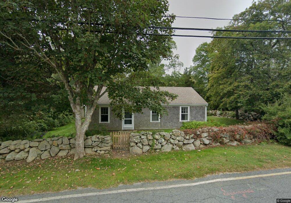
651 River Rd Westport, MA 02790
Acoaxet NeighborhoodEstimated Value: $916,009 - $1,209,000
2
Beds
--
Bath
1,177
Sq Ft
$864/Sq Ft
Est. Value
About This Home
This home is located at 651 River Rd, Westport, MA 02790 and is currently estimated at $1,017,336, approximately $864 per square foot. 651 River Rd is a home located in Bristol County with nearby schools including Alice A. Macomber Primary School and Westport Elementary School.
Create a Home Valuation Report for This Property
The Home Valuation Report is an in-depth analysis detailing your home's value as well as a comparison with similar homes in the area
Home Values in the Area
Average Home Value in this Area
Tax History Compared to Growth
Tax History
| Year | Tax Paid | Tax Assessment Tax Assessment Total Assessment is a certain percentage of the fair market value that is determined by local assessors to be the total taxable value of land and additions on the property. | Land | Improvement |
|---|---|---|---|---|
| 2025 | $5,441 | $730,400 | $599,100 | $131,300 |
| 2024 | $4,913 | $635,600 | $506,500 | $129,100 |
| 2023 | $4,883 | $598,400 | $482,300 | $116,100 |
| 2022 | $4,902 | $578,100 | $482,300 | $95,800 |
| 2021 | $4,128 | $510,300 | $438,500 | $71,800 |
| 2020 | $4,153 | $492,700 | $420,900 | $71,800 |
| 2019 | $3,839 | $499,500 | $426,700 | $72,800 |
| 2018 | $3,582 | $501,000 | $451,800 | $49,200 |
| 2017 | $4,131 | $518,300 | $451,800 | $66,500 |
| 2016 | $3,052 | $385,800 | $323,600 | $62,200 |
| 2015 | $2,991 | $377,200 | $323,600 | $53,600 |
Source: Public Records
Map
Nearby Homes
- 19 Seabury Ln
- 177 Howland Rd
- 189 Brayton Point Rd
- 1749 Main Rd
- 2043 Main Rd
- 304 Brayton Point Rd
- 15 Cherry & Webb Unit 2C
- 255 John Dyer Rd
- 7 Taber Ln
- 1734 Drift Rd
- 1702J Drift Rd
- 1702 Drift Rd
- 10 Winslow Rd
- 245 John Dyer Rd
- 1346 Main Rd Unit B
- 1518 Drift Rd
- 505 Long Hwy
- 1404 Drift Rd
- 1371 Drift Rd
- 246 Long Hwy