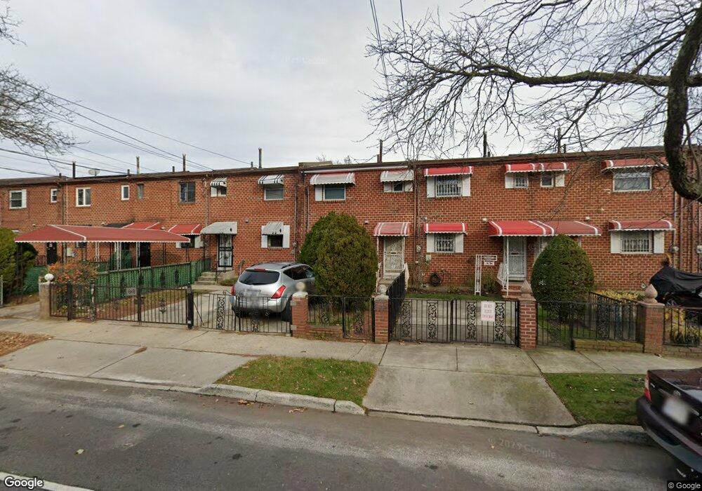
651 Sackman St Brooklyn, NY 11212
Brownsville NeighborhoodEstimated Value: $460,413 - $640,000
--
Bed
--
Bath
1,116
Sq Ft
$516/Sq Ft
Est. Value
About This Home
This home is located at 651 Sackman St, Brooklyn, NY 11212 and is currently estimated at $576,103, approximately $516 per square foot. 651 Sackman St is a home located in Kings County with nearby schools including P.S. 165 Ida Posner, P.S. 150 - Christopher, and P.S. 156 Waverly.
Ownership History
Date
Name
Owned For
Owner Type
Purchase Details
Closed on
Aug 5, 2020
Sold by
James Laurence and James John Lawrence
Bought by
James Laurence
Current Estimated Value
Home Financials for this Owner
Home Financials are based on the most recent Mortgage that was taken out on this home.
Original Mortgage
$684,000
Interest Rate
2.9%
Mortgage Type
Reverse Mortgage Home Equity Conversion Mortgage
Create a Home Valuation Report for This Property
The Home Valuation Report is an in-depth analysis detailing your home's value as well as a comparison with similar homes in the area
Home Values in the Area
Average Home Value in this Area
Purchase History
| Date | Buyer | Sale Price | Title Company |
|---|---|---|---|
| James Laurence | -- | -- |
Source: Public Records
Mortgage History
| Date | Status | Borrower | Loan Amount |
|---|---|---|---|
| Closed | James Laurence | $684,000 |
Source: Public Records
Tax History Compared to Growth
Tax History
| Year | Tax Paid | Tax Assessment Tax Assessment Total Assessment is a certain percentage of the fair market value that is determined by local assessors to be the total taxable value of land and additions on the property. | Land | Improvement |
|---|---|---|---|---|
| 2025 | $4,344 | $29,340 | $11,580 | $17,760 |
| 2024 | $4,344 | $29,460 | $11,580 | $17,880 |
| 2023 | $4,129 | $35,280 | $11,580 | $23,700 |
| 2022 | $3,806 | $28,500 | $11,580 | $16,920 |
| 2021 | $4,019 | $30,180 | $11,580 | $18,600 |
| 2020 | $3,014 | $28,440 | $11,580 | $16,860 |
| 2019 | $3,722 | $22,860 | $11,580 | $11,280 |
| 2018 | $3,394 | $18,109 | $9,125 | $8,984 |
| 2017 | $3,183 | $17,085 | $11,178 | $5,907 |
| 2016 | $3,106 | $17,085 | $10,501 | $6,584 |
| 2015 | $1,724 | $16,953 | $9,284 | $7,669 |
| 2014 | $1,724 | $15,994 | $9,330 | $6,664 |
Source: Public Records
Map
Nearby Homes
- 546 Powell St
- 563 Powell St
- 699 Sackman St
- 533 Snediker Ave
- 442 Newport St
- 584 Hinsdale St
- 541 Hinsdale St
- 797 Mother Gaston Blvd
- 576 Williams Ave
- 578 Williams Ave
- 582 Williams Ave
- 589 Hinsdale St
- 555 Christopher Ave
- 258 Lott Ave
- 650 Williams Ave
- 578 Christopher Ave
- 606 Alabama Ave
- 610 Alabama Ave
- 406 Hinsdale St
- 660 Williams Ave Unit 142