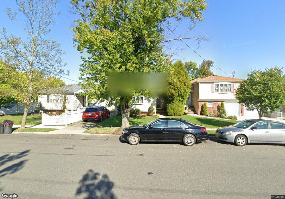
651 Sinclair Ave Staten Island, NY 10312
Huguenot NeighborhoodEstimated Value: $576,910 - $861,000
Studio
4
Baths
876
Sq Ft
$850/Sq Ft
Est. Value
About This Home
This home is located at 651 Sinclair Ave, Staten Island, NY 10312 and is currently estimated at $744,978, approximately $850 per square foot. 651 Sinclair Ave is a home located in Richmond County with nearby schools including P.S. 36 - J.C. Drumgoole, I.S. 075 Frank D. Paulo, and Tottenville High School.
Ownership History
Date
Name
Owned For
Owner Type
Purchase Details
Closed on
Nov 12, 2009
Sold by
Lambert George and Lambert Lois
Bought by
Lambert George
Current Estimated Value
Home Financials for this Owner
Home Financials are based on the most recent Mortgage that was taken out on this home.
Original Mortgage
$81,328
Outstanding Balance
$53,104
Interest Rate
5%
Mortgage Type
New Conventional
Estimated Equity
$691,874
Create a Home Valuation Report for This Property
The Home Valuation Report is an in-depth analysis detailing your home's value as well as a comparison with similar homes in the area
Home Values in the Area
Average Home Value in this Area
Purchase History
| Date | Buyer | Sale Price | Title Company |
|---|---|---|---|
| Lambert George | -- | Titleserv Inc |
Source: Public Records
Mortgage History
| Date | Status | Borrower | Loan Amount |
|---|---|---|---|
| Open | Lambert George | $81,328 |
Source: Public Records
Tax History
| Year | Tax Paid | Tax Assessment Tax Assessment Total Assessment is a certain percentage of the fair market value that is determined by local assessors to be the total taxable value of land and additions on the property. | Land | Improvement |
|---|---|---|---|---|
| 2025 | $7,021 | $44,040 | $11,130 | $32,910 |
| 2024 | $7,021 | $44,220 | $10,671 | $33,549 |
| 2023 | $6,697 | $32,976 | $10,435 | $22,541 |
| 2022 | $6,482 | $34,680 | $13,500 | $21,180 |
| 2021 | $6,446 | $34,380 | $13,500 | $20,880 |
| 2020 | $6,109 | $33,240 | $13,500 | $19,740 |
| 2019 | $5,800 | $36,060 | $13,500 | $22,560 |
| 2018 | $5,304 | $27,480 | $13,500 | $13,980 |
| 2017 | $5,217 | $27,060 | $13,500 | $13,560 |
| 2016 | $5,033 | $26,724 | $13,215 | $13,509 |
| 2015 | $4,534 | $25,214 | $10,838 | $14,376 |
| 2014 | $4,534 | $25,214 | $10,510 | $14,704 |
Source: Public Records
Map
Nearby Homes
- 41 Walker Place
- 679 Rensselaer Ave
- 12 Walker Place
- 00 Sheldon Ave
- 658 Rathbun Ave
- 735 Sheldon Ave
- 710 Rathbun Ave
- 517 Rathbun Ave
- 529 Sheldon Ave
- 629 Marcy Ave
- 727 Stafford Ave
- 436 Vineland Ave
- 713 Edgegrove Ave
- 810 Sinclair Ave
- 107 Cardiff St
- 121 Dahlia St
- 0 Ionia Ave
- 317 Darlington Ave
- 525 Sinclair Ave
- 448 Rensselaer Ave
- 647 Sinclair Ave
- 655 Sinclair Ave
- 643 Sinclair Ave
- 37 Walker Place
- 512 Huguenot Ave
- 639 Sinclair Ave
- 665 Sinclair Ave
- 508 Huguenot Ave
- 33 Walker Place
- 652 Sinclair Ave
- 648 Sinclair Ave
- 656 Sinclair Ave
- 671 Sinclair Ave
- 44 Walker Place
- 646 Sinclair Ave
- 660 Sinclair Ave
- 29 Walker Place
- 0 Sinclair Ave
- 40 Walker Place
- 664 Sinclair Ave
Your Personal Tour Guide
Ask me questions while you tour the home.