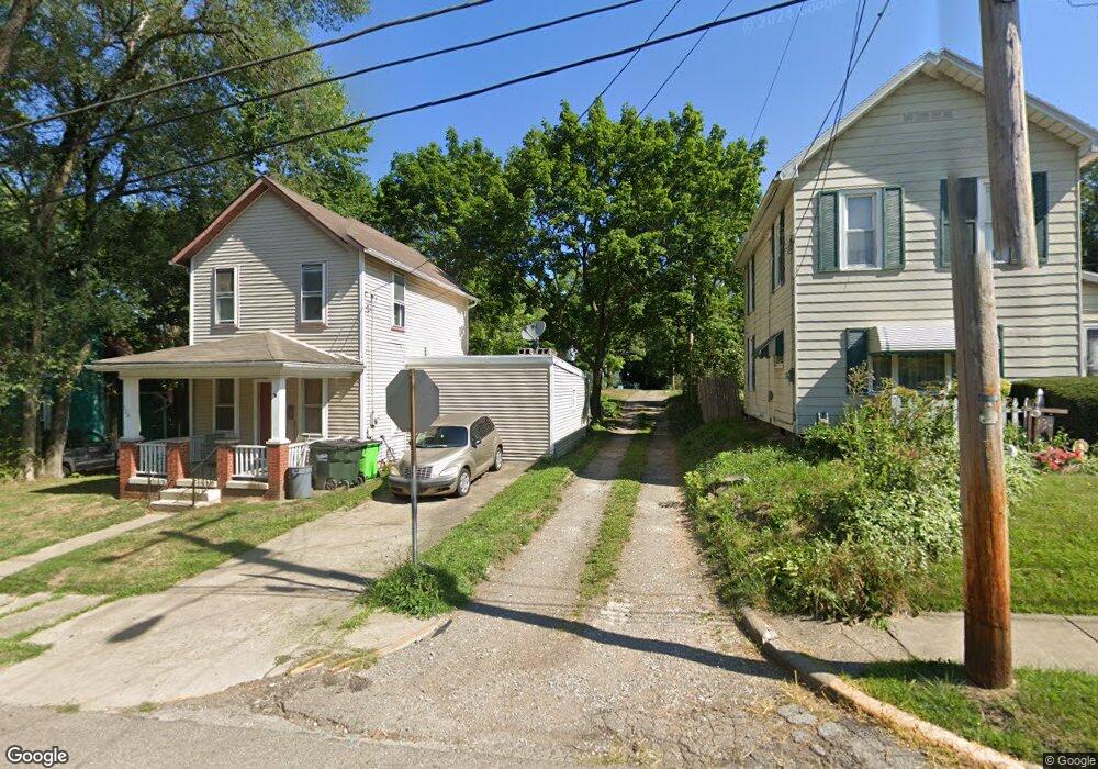
651 Summit Ct Alliance, OH 44601
Estimated Value: $111,000
2
Beds
1
Bath
768
Sq Ft
$145/Sq Ft
Est. Value
About This Home
This home is located at 651 Summit Ct, Alliance, OH 44601 and is currently estimated at $111,000, approximately $144 per square foot. 651 Summit Ct is a home located in Stark County with nearby schools including Alliance Intermediate School at Northside, Alliance Elementary School at Rockhill, and Alliance Middle School.
Ownership History
Date
Name
Owned For
Owner Type
Purchase Details
Closed on
May 22, 2024
Sold by
Stark Cnty Land Reutilization
Bought by
Alliance City and Alliance Land Reutilizati
Current Estimated Value
Purchase Details
Closed on
Aug 23, 2017
Sold by
Jd Webster Realty Llc
Bought by
Stark County Land Reutilization Corp
Purchase Details
Closed on
Nov 28, 2006
Sold by
Webster John L and Webster Donna J
Bought by
Jdwebster Realty Llc
Purchase Details
Closed on
Sep 12, 2006
Sold by
Webster John L and Webster Donna J
Bought by
Jdwebster Realty Llc
Purchase Details
Closed on
Aug 23, 1989
Create a Home Valuation Report for This Property
The Home Valuation Report is an in-depth analysis detailing your home's value as well as a comparison with similar homes in the area
Home Values in the Area
Average Home Value in this Area
Purchase History
| Date | Buyer | Sale Price | Title Company |
|---|---|---|---|
| Alliance City | -- | None Listed On Document | |
| Stark County Land Reutilization Corp | -- | None Available | |
| Jdwebster Realty Llc | -- | Attorney | |
| Jdwebster Realty Llc | -- | Attorney | |
| -- | $7,000 | -- |
Source: Public Records
Tax History
| Year | Tax Paid | Tax Assessment Tax Assessment Total Assessment is a certain percentage of the fair market value that is determined by local assessors to be the total taxable value of land and additions on the property. | Land | Improvement |
|---|---|---|---|---|
| 2025 | -- | $1,960 | $1,960 | -- |
| 2024 | -- | $2,240 | $2,240 | -- |
| 2023 | $0 | $910 | $910 | $0 |
| 2022 | $408 | $910 | $910 | $0 |
| 2021 | $408 | $910 | $910 | $0 |
| 2019 | $118 | $4,800 | $1,860 | $2,940 |
Source: Public Records
Map
Nearby Homes
- 0 E Oxford St
- 62 E High St
- 427 S Union Ave
- 726 S Arch Ave
- 807 S Union Ave
- 452 E Summit St
- 46 Rosenberry St
- 234 Rosenberry St
- 231 Rosenberry St
- 226 Milner St
- V/L S Freedom Ave
- 62 E Market St
- 621 S Haines Ave
- 134 11th St
- 228 W Oxford St
- 203 Glamorgan St
- 167 11th St
- 361 E Main St
- 442 S Liberty Ave
- 163 W Market St
- 661 Summit Ct
- 641 Summit Ct
- 114 E Summit St
- 115 E Cambridge St
- 125 E Cambridge St
- 146 E Summit St
- 143 E Cambridge St
- 107 E Cambridge St
- 124 E Summit St
- 124 E Summit St
- 657 S Mechanic Ave
- 669 S Mechanic Ave
- 153 E Cambridge St
- 61 E Cambridge St
- 647 S Mechanic Ave
- 154 E Summit St
- 681 S Mechanic Ave
- 123 E Summit St
- 116 E Cambridge St
- 59 E Cambridge St
Your Personal Tour Guide
Ask me questions while you tour the home.