Estimated Value: $300,000 - $461,000
3
Beds
3
Baths
1,938
Sq Ft
$204/Sq Ft
Est. Value
About This Home
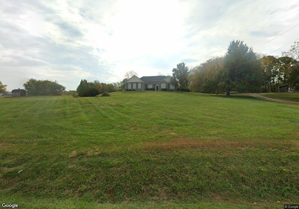
This home is located at 651 Us Route 42 E, Xenia, OH 45385 and is currently estimated at $395,681, approximately $204 per square foot. 651 Us Route 42 E is a home located in Greene County with nearby schools including Xenia High School and Legacy Christian Academy.
Ownership History
Date
Name
Owned For
Owner Type
Purchase Details
Closed on
Jun 5, 1997
Sold by
Greene Memorial Hospital
Bought by
Cowherd John E and Cowherd M
Current Estimated Value
Create a Home Valuation Report for This Property
The Home Valuation Report is an in-depth analysis detailing your home's value as well as a comparison with similar homes in the area
Home Values in the Area
Average Home Value in this Area
Purchase History
| Date | Buyer | Sale Price | Title Company |
|---|---|---|---|
| Cowherd John E | $26,000 | -- |
Source: Public Records
Tax History Compared to Growth
Tax History
| Year | Tax Paid | Tax Assessment Tax Assessment Total Assessment is a certain percentage of the fair market value that is determined by local assessors to be the total taxable value of land and additions on the property. | Land | Improvement |
|---|---|---|---|---|
| 2024 | $5,116 | $117,360 | $28,980 | $88,380 |
| 2023 | $5,116 | $117,360 | $28,980 | $88,380 |
| 2022 | $4,451 | $93,610 | $25,200 | $68,410 |
| 2021 | $4,508 | $93,610 | $25,200 | $68,410 |
| 2020 | $4,328 | $93,610 | $25,200 | $68,410 |
| 2019 | $4,146 | $85,090 | $22,260 | $62,830 |
| 2018 | $4,162 | $85,090 | $22,260 | $62,830 |
| 2017 | $4,048 | $85,090 | $22,260 | $62,830 |
| 2016 | $3,822 | $77,680 | $21,740 | $55,940 |
| 2015 | $3,831 | $77,680 | $21,740 | $55,940 |
| 2014 | $3,676 | $77,680 | $21,740 | $55,940 |
Source: Public Records
Map
Nearby Homes
- 656 Eden Roc Dr
- 610 Saxony Dr
- 1311 Eagles Way
- 1764 Highlander Dr
- 1359 Eagles Way
- 0 N Patton St
- 00 N Patton St
- 513 Redbud Ln
- 1293 E Main St
- 568 Louise Dr
- 1056 Eastland Dr
- 645 E Church St
- 479 N Stadium Dr
- 612 E Market St
- 348 S Stadium Dr
- 607 E Main St
- 965 Oak Dale Dr
- 541 E Main St
- 654 E 3rd St
- 460 Kinsey Rd
- 671 Us Route 42 E
- 635 Us Route 42 E
- 691 Us Route 42 E
- 711 Us Route 42 E
- 711 (approximate) Us 42
- 737 Us Route 42 E
- 737 U S 42
- 590 Us Route 42 E
- 643 Rising Hill Dr
- 681 Rising Hill Dr
- 693 Rising Hill Dr
- 709 Rising Hill Dr
- 615 Rising Hill Dr
- 997 N Columbus St
- 710 Rising Hill Dr
- 722 Rising Hill Dr
- 837 Kingman Ct
- 805 Us Route 42 E
- 829 Alpine Ct
- 0 Kingman Ct