651 William Sluder Rd Ellijay, GA 30540
Estimated Value: $458,000 - $836,000
--
Bed
2
Baths
2,560
Sq Ft
$244/Sq Ft
Est. Value
About This Home
This home is located at 651 William Sluder Rd, Ellijay, GA 30540 and is currently estimated at $624,372, approximately $243 per square foot. 651 William Sluder Rd is a home located in Gilmer County with nearby schools including Mountain View Elementary School, Clear Creek Middle School, and Gilmer High School.
Ownership History
Date
Name
Owned For
Owner Type
Purchase Details
Closed on
Feb 23, 2018
Sold by
615 William Sluder Road Ll
Bought by
Pinsker Sally Kolodkin and Pinsker Alan
Current Estimated Value
Purchase Details
Closed on
Dec 29, 2004
Sold by
Kolodkin Alan B
Bought by
615 William Sluder Road Llc
Purchase Details
Closed on
Dec 22, 1999
Sold by
Mte Investments Llc
Bought by
Kolodkin Alan and Kolodkin Elai
Purchase Details
Closed on
Oct 21, 1999
Sold by
Sluder John and Sluder Wayne
Bought by
Mte Investments Llc
Create a Home Valuation Report for This Property
The Home Valuation Report is an in-depth analysis detailing your home's value as well as a comparison with similar homes in the area
Home Values in the Area
Average Home Value in this Area
Purchase History
| Date | Buyer | Sale Price | Title Company |
|---|---|---|---|
| Pinsker Sally Kolodkin | -- | -- | |
| 615 William Sluder Road Llc | $300,000 | -- | |
| Kolodkin Alan | $120,000 | -- | |
| Mte Investments Llc | $410,300 | -- |
Source: Public Records
Tax History Compared to Growth
Tax History
| Year | Tax Paid | Tax Assessment Tax Assessment Total Assessment is a certain percentage of the fair market value that is determined by local assessors to be the total taxable value of land and additions on the property. | Land | Improvement |
|---|---|---|---|---|
| 2025 | $1,844 | $202,480 | $74,960 | $127,520 |
| 2024 | $1,844 | $162,880 | $56,280 | $106,600 |
| 2023 | $1,900 | $162,880 | $56,280 | $106,600 |
| 2022 | $1,774 | $162,880 | $56,280 | $106,600 |
| 2021 | $1,571 | $136,360 | $54,880 | $81,480 |
| 2020 | $1,750 | $126,440 | $54,920 | $71,520 |
| 2019 | $1,729 | $123,480 | $54,920 | $68,560 |
| 2018 | $1,747 | $121,800 | $53,240 | $68,560 |
| 2017 | $1,478 | $105,960 | $53,240 | $52,720 |
| 2016 | $1,518 | $106,560 | $53,240 | $53,320 |
| 2015 | $1,331 | $98,760 | $51,720 | $47,040 |
| 2014 | $1,379 | $82,560 | $35,480 | $47,080 |
| 2013 | -- | $96,600 | $50,720 | $45,880 |
Source: Public Records
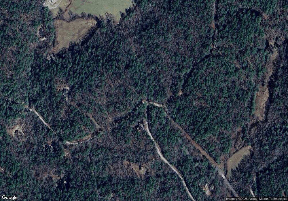
Map
Nearby Homes
- 12.64 AC Harrison Sluder Rd
- 37 Blalock Mountain Rd
- 198 Blalock Mountain Crt
- 3242 Gates Chapel Rd
- 5846 Gates Chapel Rd
- LT 46 Whitecliff Dr
- 32.98 Ac Zion Hill Rd
- 32.98 ACRES Zion Hill Rd
- 4932 Zion Hill Rd
- LOT A-D Harpers Creek Rd
- Lot 14 Watersong Trail
- 0 Whitecliff Dr Unit 21986940
- 799 Whitecliff Dr
- 0 Whitecliff Dr Unit 10371196
- 345 Zion Hill Rd
- LT 24 Pickett Mill Ln
- Lot 24 Pickett Mill Ln
- 824 Conasauga Rd
- 0 Hidden Valley Trail Unit 7659435
- 394 Cowboy Trail
- 745 Hemlock Trail
- 641 William Sluder Rd
- 568 Hemlock Trail
- 683 Hemlock Trail
- 734 Hills Lake Rd
- 2.92 Harrison Sluder Rd
- 6.2AC Harrison Sluder Rd
- 2.92A Harrison Sluder Rd
- 445 Hemlock Trail
- 445 Hemlock Trail
- 445 Hemlock Tr
- 597 Hills Lake
- LOT 103 Blalock Mountain Rd
- 597 Hills Lake Rd
- 597 Hills Lake Rd
- 597 Riggs Rd
- 0 Harrison Sluder Rd Unit 8381781
- NA Harrison Sluder Rd Rd
- 0 Harrison Sluder Rd Unit 20122778
- 0 Harrison Sluder Rd Unit 10395523