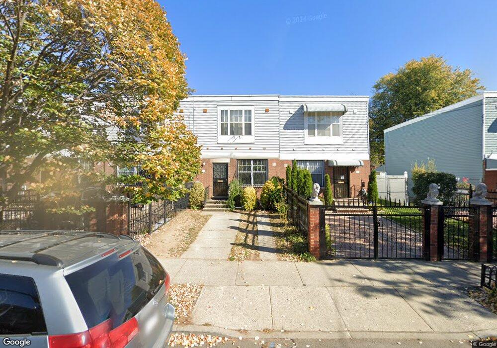
651 Williams Ave Brooklyn, NY 11207
Brownsville NeighborhoodEstimated Value: $595,427 - $746,000
Studio
--
Bath
1,300
Sq Ft
$513/Sq Ft
Est. Value
About This Home
This home is located at 651 Williams Ave, Brooklyn, NY 11207 and is currently estimated at $666,857, approximately $512 per square foot. 651 Williams Ave is a home located in Kings County with nearby schools including P.S. 190 - Sheffield, Achievement First - East New York School, and Uncommon Brownsville South Elementary School and Middle School.
Ownership History
Date
Name
Owned For
Owner Type
Purchase Details
Closed on
Jan 24, 2001
Sold by
Nehemiah Housing Development Fund Co Inc
Bought by
Hill Barrington
Current Estimated Value
Home Financials for this Owner
Home Financials are based on the most recent Mortgage that was taken out on this home.
Original Mortgage
$77,000
Outstanding Balance
$27,813
Interest Rate
7.08%
Estimated Equity
$639,044
Create a Home Valuation Report for This Property
The Home Valuation Report is an in-depth analysis detailing your home's value as well as a comparison with similar homes in the area
Home Values in the Area
Average Home Value in this Area
Purchase History
| Date | Buyer | Sale Price | Title Company |
|---|---|---|---|
| Hill Barrington | $102,000 | First American Title Ins Co |
Source: Public Records
Mortgage History
| Date | Status | Borrower | Loan Amount |
|---|---|---|---|
| Open | Hill Barrington | $77,000 |
Source: Public Records
Tax History
| Year | Tax Paid | Tax Assessment Tax Assessment Total Assessment is a certain percentage of the fair market value that is determined by local assessors to be the total taxable value of land and additions on the property. | Land | Improvement |
|---|---|---|---|---|
| 2025 | $5,239 | $34,020 | $15,540 | $18,480 |
| 2024 | $5,239 | $34,320 | $15,540 | $18,780 |
| 2023 | $4,997 | $34,200 | $15,540 | $18,660 |
| 2022 | $4,634 | $28,380 | $15,540 | $12,840 |
| 2021 | $4,609 | $21,900 | $15,540 | $6,360 |
| 2019 | $4,317 | $23,220 | $10,303 | $12,917 |
| 2018 | $4,269 | $25,500 | $10,303 | $15,197 |
| 2017 | $4,044 | $26,194 | $10,303 | $15,891 |
| 2016 | $3,482 | $25,365 | $9,474 | $15,891 |
| 2015 | $1,028 | $25,349 | $9,458 | $15,891 |
| 2014 | $1,028 | $23,915 | $8,024 | $15,891 |
Source: Public Records
Map
Nearby Homes
- 660 Williams Ave
- 650 Williams Ave
- 589 Hinsdale St
- 610 Alabama Ave
- 606 Alabama Ave
- 584 Hinsdale St
- 1755 Linden Blvd
- 1753 Linden Blvd
- 582 Williams Ave
- 578 Williams Ave
- 719 Alabama Ave
- 494 Hegeman Ave
- 90 Louisiana Ave
- 533 Snediker Ave
- 521 Hegeman Ave
- 525 Alabama Ave
- 738 New Jersey Ave
- 753 Pennsylvania Ave
- 592 Powell St
- 770 Snediker Ave
- 649 Williams Ave
- 653 Williams Ave
- 647 Williams Ave
- 26 Malta St
- 645 Williams Ave
- 657 Williams Ave
- 28 Malta St
- 643 Williams Ave
- 661 Williams Ave
- 30 Malta St
- 641 Williams Ave
- 665 Williams Ave
- 42 Malta St
- 639 Williams Ave
- 667 Williams Ave
- 637 Williams Ave
- 44 Malta St
- 669 Williams Ave
- 635 Williams Ave
- 5 Louisiana Ave
Your Personal Tour Guide
Ask me questions while you tour the home.