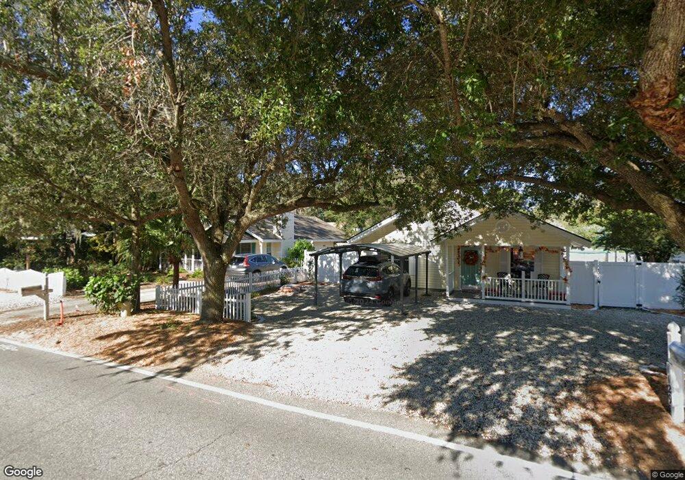
651 Wilson Cir Saint Simons Island, GA 31522
Estimated Value: $672,000 - $822,530
3
Beds
2
Baths
1,520
Sq Ft
$484/Sq Ft
Est. Value
About This Home
This home is located at 651 Wilson Cir, Saint Simons Island, GA 31522 and is currently estimated at $735,883, approximately $484 per square foot. 651 Wilson Cir is a home located in Glynn County with nearby schools including St. Simons Elementary School, Glynn Middle School, and Glynn Academy.
Ownership History
Date
Name
Owned For
Owner Type
Purchase Details
Closed on
Feb 16, 2006
Sold by
Vanvandykes Jerry Van
Bought by
Dykes Dana M
Current Estimated Value
Create a Home Valuation Report for This Property
The Home Valuation Report is an in-depth analysis detailing your home's value as well as a comparison with similar homes in the area
Home Values in the Area
Average Home Value in this Area
Purchase History
| Date | Buyer | Sale Price | Title Company |
|---|---|---|---|
| Dykes Dana M | -- | -- |
Source: Public Records
Tax History Compared to Growth
Tax History
| Year | Tax Paid | Tax Assessment Tax Assessment Total Assessment is a certain percentage of the fair market value that is determined by local assessors to be the total taxable value of land and additions on the property. | Land | Improvement |
|---|---|---|---|---|
| 2025 | $8,107 | $323,240 | $189,800 | $133,440 |
| 2024 | $5,314 | $211,880 | $75,920 | $135,960 |
| 2023 | $3,508 | $211,880 | $75,920 | $135,960 |
| 2022 | $3,968 | $211,880 | $75,920 | $135,960 |
| 2021 | $4,004 | $155,000 | $75,920 | $79,080 |
| 2020 | $4,040 | $155,000 | $75,920 | $79,080 |
| 2019 | $4,040 | $155,000 | $75,920 | $79,080 |
| 2018 | $3,846 | $155,000 | $75,920 | $79,080 |
| 2017 | $3,846 | $147,560 | $75,920 | $71,640 |
| 2016 | $3,556 | $147,560 | $75,920 | $71,640 |
| 2015 | $3,480 | $143,800 | $75,920 | $67,880 |
| 2014 | $3,480 | $143,800 | $75,920 | $67,880 |
Source: Public Records
Map
Nearby Homes
- 134 Ibis Cove
- 108 Rosa Dorsey Ln
- 162 Toluca Ln
- 200 Salt Air Dr Unit 152
- 200 Salt Air Dr Unit 154
- 200 Salt Air Dr Unit 139
- 214 Island Dr
- 104 Courtyard Villas Unit C7
- 106 Sandcastle Way
- 919 Mallery St
- 105 Thompson Cove
- 850 Mallery St Unit 6N
- 850 Mallery St Unit 8K
- 850 Mallery St Unit 6A
- 850 Mallery St Unit 4W
- 850 Mallery St Unit S 3
- 850 Mallery St Unit 4O
- 850 Mallery St Unit 13Q
- 850 Mallery St Unit 9W
- 1000 Mallery Street Extension Unit B5
- 649 Wilson Cir
- 653 Wilson Cir
- 1121 Mallery St
- 1125 Mallery St
- 139 Ibis Cove
- 1125 Mallery St
- 655 Wilson Cir
- 650 Wilson Cir
- 1117 Mallery St
- 1129 Mallery St
- 135 Ibis Cove
- 126 Ibis Cove
- 657 Wilson Cir
- 1133 Mallery St
- 657 Proctor Ln
- 1111 Mallery St
- 127 Ibis Cove
- 1137 Mallery St
- 662 Wilson Cir
- 1137 Mallery St