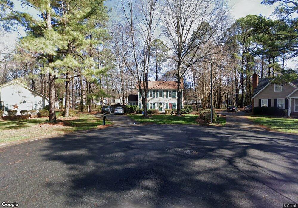
6510 Bowstring Ct Charlotte, NC 28214
Pawtuckett NeighborhoodEstimated Value: $298,000 - $312,138
3
Beds
3
Baths
1,620
Sq Ft
$188/Sq Ft
Est. Value
About This Home
This home is located at 6510 Bowstring Ct, Charlotte, NC 28214 and is currently estimated at $304,035, approximately $187 per square foot. 6510 Bowstring Ct is a home located in Mecklenburg County with nearby schools including Whitewater Academy, Whitewater Middle School, and West Mecklenburg High.
Ownership History
Date
Name
Owned For
Owner Type
Purchase Details
Closed on
Jun 23, 1998
Sold by
Keith Mcgaha Robert and Keith Laura M
Bought by
Whitley Jeffrey S and Whitley Sharon R
Current Estimated Value
Home Financials for this Owner
Home Financials are based on the most recent Mortgage that was taken out on this home.
Original Mortgage
$98,978
Outstanding Balance
$20,077
Interest Rate
7.21%
Mortgage Type
FHA
Estimated Equity
$283,958
Create a Home Valuation Report for This Property
The Home Valuation Report is an in-depth analysis detailing your home's value as well as a comparison with similar homes in the area
Home Values in the Area
Average Home Value in this Area
Purchase History
| Date | Buyer | Sale Price | Title Company |
|---|---|---|---|
| Whitley Jeffrey S | $99,000 | -- |
Source: Public Records
Mortgage History
| Date | Status | Borrower | Loan Amount |
|---|---|---|---|
| Open | Whitley Jeffrey S | $98,978 |
Source: Public Records
Tax History
| Year | Tax Paid | Tax Assessment Tax Assessment Total Assessment is a certain percentage of the fair market value that is determined by local assessors to be the total taxable value of land and additions on the property. | Land | Improvement |
|---|---|---|---|---|
| 2025 | $2,388 | $295,100 | $65,000 | $230,100 |
| 2024 | $2,388 | $295,100 | $65,000 | $230,100 |
| 2023 | $2,304 | $295,100 | $65,000 | $230,100 |
| 2022 | $1,583 | $151,000 | $43,800 | $107,200 |
| 2021 | $1,572 | $151,000 | $43,800 | $107,200 |
| 2020 | $1,564 | $151,000 | $43,800 | $107,200 |
| 2019 | $1,549 | $151,000 | $43,800 | $107,200 |
| 2018 | $1,283 | $92,200 | $17,600 | $74,600 |
| 2017 | $1,256 | $92,200 | $17,600 | $74,600 |
| 2016 | $1,247 | $92,200 | $17,600 | $74,600 |
| 2015 | $1,235 | $92,200 | $17,600 | $74,600 |
| 2014 | $1,246 | $0 | $0 | $0 |
Source: Public Records
Map
Nearby Homes
- 6907 Glenmoor Dr
- 6201 Eagle Peak Dr
- 6626 Glenmoor Dr
- 4710 Opus Ln
- 1047 Marietta St
- 800 Old Little Rock Rd
- 7501 Pawtuckett Rd
- 8504 Moores Chapel Rd
- 235 Nance Rd
- 237 Nance Rd
- 6602 Pennacook Dr
- 9115 Old Moores Chapel Rd
- 9204 Moores Chapel Rd
- 8038 Pawtuckett Rd
- 6517 Elmwood Cir
- 9215 Old Moores Chapel Rd
- 6600 Elmwood Cir
- 8203 Paw Valley Ln
- 2639 Wildlife Rd
- 6109 Paw Creek Rd
- 6506 Bowstring Ct
- 6505 Bowstring Ct
- 8625 Stoneface Rd
- 8631 Stoneface Rd
- 8617 Stoneface Rd
- 8637 Stoneface Rd
- 8616 Waterrock Rd
- 6407 Swift Arrow Ln
- 6401 Swift Arrow Ln
- 8630 Waterrock Rd
- 6415 Swift Arrow Ln
- 6518 Birdsong Ln
- 6526 Birdsong Ln
- 6325 Swift Arrow Ln
- 6510 Birdsong Ln
- 6421 Swift Arrow Ln
- 6532 Birdsong Ln
- 6319 Swift Arrow Ln
- 6500 Birdsong Ln
- 8628 Stoneface Rd
Your Personal Tour Guide
Ask me questions while you tour the home.