6510 Deerhurst Dr Westland, MI 48185
Estimated Value: $212,017 - $238,000
4
Beds
2
Baths
1,117
Sq Ft
$202/Sq Ft
Est. Value
About This Home
This home is located at 6510 Deerhurst Dr, Westland, MI 48185 and is currently estimated at $225,254, approximately $201 per square foot. 6510 Deerhurst Dr is a home located in Wayne County with nearby schools including P.D. Graham Elementary School, Marshall Upper Elementary School, and Adlai Stevenson Middle School.
Ownership History
Date
Name
Owned For
Owner Type
Purchase Details
Closed on
Sep 16, 2024
Sold by
Decook Margaret
Bought by
Decook Margaret and Lucas Scott
Current Estimated Value
Purchase Details
Closed on
Dec 17, 2020
Sold by
Irlt Alice M Kernahan
Bought by
Decook Margaret
Purchase Details
Closed on
Oct 14, 2013
Sold by
Kernahan Alice M
Bought by
Liv Kernahan Alice M and Liv Alice M Kernahan Revocable
Purchase Details
Closed on
Sep 17, 2013
Sold by
Fabbri Leslie R and Rodda Macocha Lisa A
Bought by
Kernahan Alice M
Purchase Details
Closed on
Nov 4, 1994
Sold by
Deerhurst Assoc Ltd Ptns
Bought by
Ruth Ivosic
Create a Home Valuation Report for This Property
The Home Valuation Report is an in-depth analysis detailing your home's value as well as a comparison with similar homes in the area
Home Values in the Area
Average Home Value in this Area
Purchase History
| Date | Buyer | Sale Price | Title Company |
|---|---|---|---|
| Decook Margaret | -- | None Listed On Document | |
| Decook Margaret | $150,000 | Liberty Title | |
| Liv Kernahan Alice M | -- | None Available | |
| Kernahan Alice M | $115,000 | First American Title Ins Co | |
| Ruth Ivosic | $110,976 | -- |
Source: Public Records
Tax History Compared to Growth
Tax History
| Year | Tax Paid | Tax Assessment Tax Assessment Total Assessment is a certain percentage of the fair market value that is determined by local assessors to be the total taxable value of land and additions on the property. | Land | Improvement |
|---|---|---|---|---|
| 2025 | $3,801 | $104,100 | $0 | $0 |
| 2024 | $3,801 | $93,600 | $0 | $0 |
| 2023 | $3,630 | $91,200 | $0 | $0 |
| 2022 | $4,112 | $85,200 | $0 | $0 |
| 2021 | $4,009 | $80,800 | $0 | $0 |
| 2020 | $2,395 | $77,400 | $0 | $0 |
| 2019 | $2,307 | $66,400 | $0 | $0 |
| 2018 | $3,551 | $63,300 | $0 | $0 |
| 2017 | $733 | $62,500 | $0 | $0 |
| 2016 | $2,244 | $58,500 | $0 | $0 |
| 2015 | $4,458 | $51,600 | $0 | $0 |
| 2013 | $3,735 | $40,130 | $0 | $0 |
| 2012 | $1,682 | $36,470 | $0 | $0 |
Source: Public Records
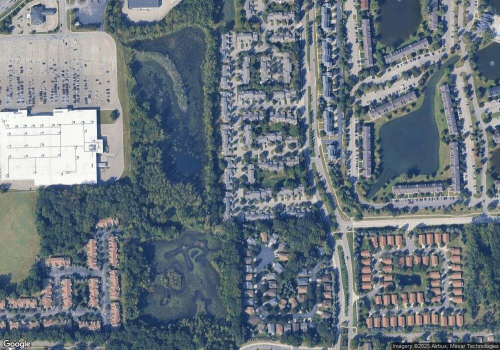
Map
Nearby Homes
- 6541 Pembrook Dr
- 6145 N Dowling St
- 37186 Amhurst Dr Unit 5
- 35863 Hunter Ave Unit 34
- 0 Dowling Ave
- 6026 Wilmer St
- 35754 Castlewood Ct
- 5942 N Walton St
- 35737 Hunter Ave
- 6013 N Newburgh Rd
- 5889 N Globe St
- 6546 Quail Run Cir
- 5692 N Globe St
- 5834 Morley St
- 7330 Woodview St Unit 2
- 35833 Ford Rd
- 0 N Wayne Rd
- 7051 Wayne Rd
- 7630 Woodview St Unit 2
- 7908 Everett Dr
- 6540 Deerhurst Dr
- 6521 Deerhurst Dr
- 36603 Deerhurst Ct
- 36650 Deerhurst S
- 36620 Deerhurst S
- 36650 Deerhurst S Unit 78
- 6531 Deerhurst Dr
- 36593 Deerhurst Ct
- 36610 Deerhurst S Unit 82
- 6511 Deerhurst Dr
- 6511 Deerhurst Dr Unit 19
- 36583 Deerhurst Ct
- 36583 Deerhurst Ct Unit 71
- 36563 Deerhurst Ct Unit 69
- 36563 Deerhurst Ct
- 36573 Deerhurst Ct Unit 70
- 6551 Deerhurst Dr
- 6551 Deerhurst Dr Unit 23
- 36640 Deerhurst S
- 36630 Deerhurst S Unit 80