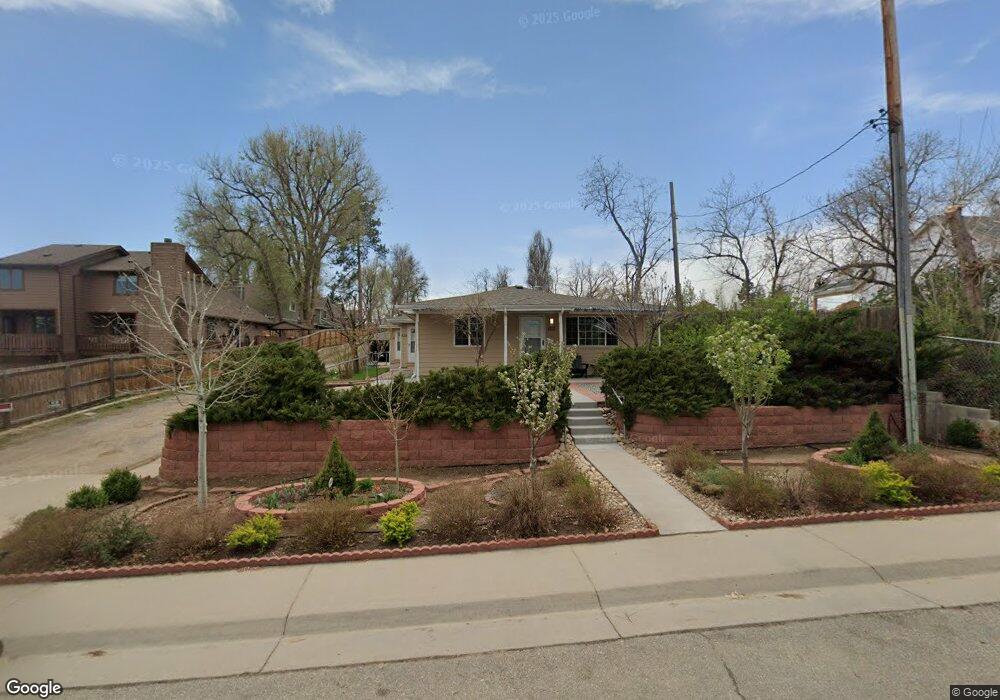
6510 Ralston Rd Arvada, CO 80002
Olde Town Arvada NeighborhoodEstimated Value: $571,924 - $816,000
3
Beds
3
Baths
2,227
Sq Ft
$325/Sq Ft
Est. Value
About This Home
This home is located at 6510 Ralston Rd, Arvada, CO 80002 and is currently estimated at $724,731, approximately $325 per square foot. 6510 Ralston Rd is a home located in Jefferson County with nearby schools including Secrest Elementary School, North Arvada Middle School, and Arvada High School.
Ownership History
Date
Name
Owned For
Owner Type
Purchase Details
Closed on
Mar 21, 2024
Sold by
Nazari Al A
Bought by
Nazari Kourosh
Current Estimated Value
Purchase Details
Closed on
Jun 30, 1995
Sold by
Schroeder Glenn O and Schroeder Minnie M
Bought by
Nazari Al A
Home Financials for this Owner
Home Financials are based on the most recent Mortgage that was taken out on this home.
Original Mortgage
$128,000
Interest Rate
7.79%
Mortgage Type
Seller Take Back
Create a Home Valuation Report for This Property
The Home Valuation Report is an in-depth analysis detailing your home's value as well as a comparison with similar homes in the area
Home Values in the Area
Average Home Value in this Area
Purchase History
| Date | Buyer | Sale Price | Title Company |
|---|---|---|---|
| Nazari Kourosh | -- | None Listed On Document | |
| Nazari Al A | $145,000 | Title America |
Source: Public Records
Mortgage History
| Date | Status | Borrower | Loan Amount |
|---|---|---|---|
| Previous Owner | Nazari Al A | $128,000 |
Source: Public Records
Tax History
| Year | Tax Paid | Tax Assessment Tax Assessment Total Assessment is a certain percentage of the fair market value that is determined by local assessors to be the total taxable value of land and additions on the property. | Land | Improvement |
|---|---|---|---|---|
| 2024 | $4,882 | $50,328 | $21,825 | $28,503 |
| 2023 | $4,882 | $50,328 | $21,825 | $28,503 |
| 2022 | $3,692 | $37,700 | $20,617 | $17,083 |
| 2021 | $3,836 | $39,640 | $21,678 | $17,962 |
| 2020 | $3,438 | $35,632 | $16,463 | $19,169 |
| 2019 | $3,392 | $35,632 | $16,463 | $19,169 |
| 2018 | $3,101 | $31,669 | $16,229 | $15,440 |
| 2017 | $2,839 | $31,669 | $16,229 | $15,440 |
| 2016 | $2,437 | $25,610 | $9,754 | $15,856 |
| 2015 | $2,040 | $25,610 | $9,754 | $15,856 |
| 2014 | $2,040 | $20,151 | $7,105 | $13,046 |
Source: Public Records
Map
Nearby Homes
- 6427 Grandview Ave Unit A & B
- 6480 W 60th Ave
- 6902 Ralston Rd
- 6840 W 60th Ave
- 5716 Saulsbury St
- 6910 Reno Dr
- 6865 W 55th Place
- 6940 W 55th Place
- 6990 W 61st Ave
- 7303 W 59th Ave
- 7357 Grandview Ave Unit 202
- 5465 Reed Ct
- 5701 W 60th Ave
- 7313 W 60th Ave
- 6955 W 62nd Ave
- 7235 W 61st Ave
- 5423 Saulsbury Ct
- 7365 W 61st Ave
- 7607 Ralston Rd
- 6245 Saulsbury St
- 6504 Ralston Rd Unit B
- 6504 Ralston Rd
- 6504a W 58th Ave Unit A
- 6530 Ralston Rd
- 6406 Ralston Rd
- 6502 W 58th Ave Unit B
- 6502 W 58th Ave
- 6502 Ralston Rd Unit A
- 6502 Ralston Rd Unit B
- 6500 Ralston Rd Unit B
- 6602 Ralston Rd
- 6404 Ralston Rd
- 6497 Grandview Ave Unit A
- 6497 Grandview Ave Unit B
- 5830 Nolan St
- 6427 Grandview Ave
- 6505 Grandview Ave
- 6604 Ralston Rd
- 6507 Grandview Ave
- 6509 Grandview Ave
Your Personal Tour Guide
Ask me questions while you tour the home.