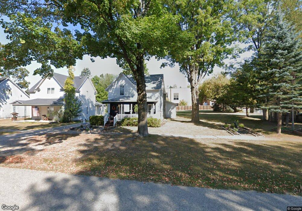
6511 E Main St Pellston, MI 49769
Estimated Value: $100,000 - $212,000
Studio
--
Bath
--
Sq Ft
15,856
Sq Ft Lot
About This Home
This home is located at 6511 E Main St, Pellston, MI 49769 and is currently estimated at $157,770. 6511 E Main St is a home located in Emmet County with nearby schools including Pellston Elementary School and Pellston Middle/High School.
Ownership History
Date
Name
Owned For
Owner Type
Purchase Details
Closed on
Sep 28, 2010
Sold by
Carlson Richard M and Carlson Barbara L
Bought by
Carlson Richard M and Carlson Barbara L
Current Estimated Value
Purchase Details
Closed on
Sep 18, 2002
Bought by
Carlson Richard M and Carlson Barbara L
Purchase Details
Closed on
Jul 30, 2002
Bought by
State Treasurer
Purchase Details
Closed on
Jun 1, 1996
Sold by
Sheriff'S Deed On Mort
Bought by
Standard Federal Bank
Purchase Details
Closed on
Aug 1, 1994
Bought by
Rae
Create a Home Valuation Report for This Property
The Home Valuation Report is an in-depth analysis detailing your home's value as well as a comparison with similar homes in the area
Purchase History
| Date | Buyer | Sale Price | Title Company |
|---|---|---|---|
| Carlson Richard M | -- | -- | |
| Carlson Richard M | $26,400 | -- | |
| State Treasurer | -- | -- | |
| Standard Federal Bank | $31,500 | -- | |
| Rae | $36,900 | -- |
Source: Public Records
Tax History
| Year | Tax Paid | Tax Assessment Tax Assessment Total Assessment is a certain percentage of the fair market value that is determined by local assessors to be the total taxable value of land and additions on the property. | Land | Improvement |
|---|---|---|---|---|
| 2025 | $1,802 | $63,600 | $63,600 | $0 |
| 2024 | $12 | $59,500 | $59,500 | $0 |
| 2023 | $1,845 | $54,900 | $54,900 | $0 |
| 2022 | $1,845 | $49,300 | $49,300 | $0 |
| 2021 | $1,868 | $46,800 | $46,800 | $0 |
| 2020 | $1,864 | $45,000 | $45,000 | $0 |
| 2019 | -- | $39,300 | $39,300 | $0 |
| 2018 | -- | $38,200 | $38,200 | $0 |
| 2017 | -- | $38,000 | $38,000 | $0 |
| 2016 | -- | $35,500 | $35,500 | $0 |
| 2015 | -- | $35,200 | $0 | $0 |
| 2014 | -- | $31,900 | $0 | $0 |
Source: Public Records
Map
Nearby Homes
- 6421 Airport Crossing Rd Unit 1
- 8959 Robinson Rd
- TBD Teal Rd
- 4333 U S 31
- 3954 Valley Rd
- 10826 Chickagami Trail
- 10999 Koepke Rd
- 6105 U S 31
- 10222 W Munro Lake Dr
- 1830 Indian Point Rd
- 6167 Lambert Dr
- 6737 Honeysette Rd
- 1442 Indian Point Rd
- 5441 Valley Rd
- 393 Beaux Rivages Dr
- 7181 Maple St
- 319 Beaux Rivages Dr
- 7325 Keystone Park Dr Unit 18
- 1253 Walkabout Ln
- 7028 Barney Rd
Your Personal Tour Guide
Ask me questions while you tour the home.