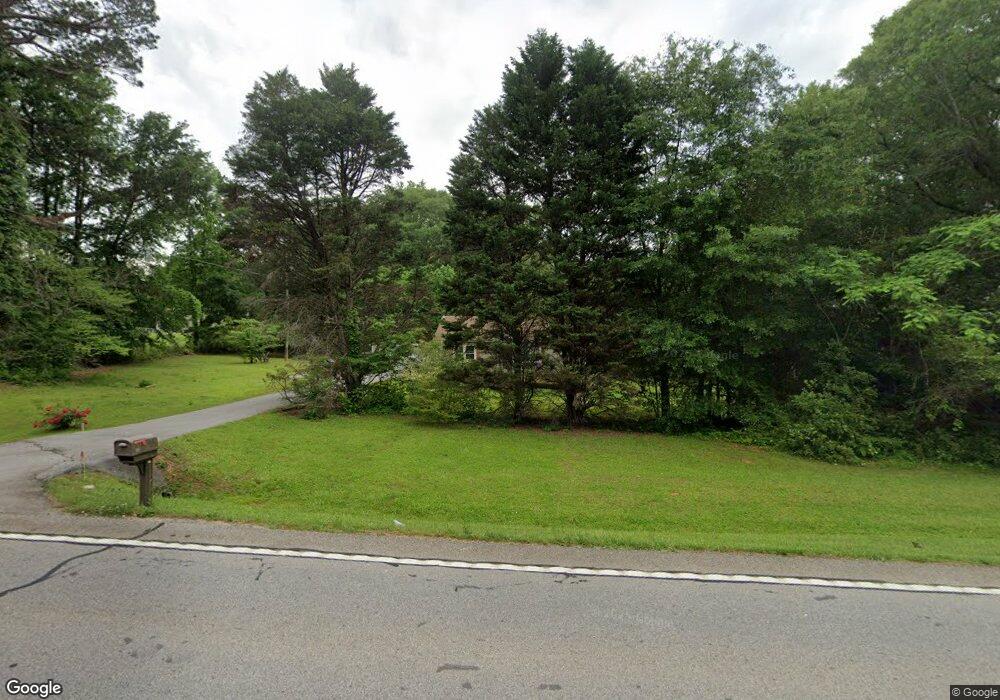
6511 Highway 81 E McDonough, GA 30252
Estimated Value: $154,000 - $229,000
3
Beds
1
Bath
1,138
Sq Ft
$169/Sq Ft
Est. Value
About This Home
This home is located at 6511 Highway 81 E, McDonough, GA 30252 and is currently estimated at $192,314, approximately $168 per square foot. 6511 Highway 81 E is a home located in Henry County with nearby schools including Rock Spring Elementary School, Ola Middle School, and Ola High School.
Ownership History
Date
Name
Owned For
Owner Type
Purchase Details
Closed on
Mar 27, 2012
Sold by
Hansen Stuart
Bought by
Hansen Linda
Current Estimated Value
Home Financials for this Owner
Home Financials are based on the most recent Mortgage that was taken out on this home.
Original Mortgage
$44,150
Outstanding Balance
$29,357
Interest Rate
3.21%
Mortgage Type
New Conventional
Estimated Equity
$162,957
Purchase Details
Closed on
Jan 20, 2012
Sold by
Hansen Stuart H
Bought by
Hansen Linda J
Purchase Details
Closed on
Mar 1, 1995
Sold by
Glanton Shane
Bought by
Hansen Stuart Linda
Create a Home Valuation Report for This Property
The Home Valuation Report is an in-depth analysis detailing your home's value as well as a comparison with similar homes in the area
Home Values in the Area
Average Home Value in this Area
Purchase History
| Date | Buyer | Sale Price | Title Company |
|---|---|---|---|
| Hansen Linda | -- | -- | |
| Hansen Linda J | -- | -- | |
| Hansen Stuart Linda | $64,900 | -- |
Source: Public Records
Mortgage History
| Date | Status | Borrower | Loan Amount |
|---|---|---|---|
| Open | Hansen Linda | $44,150 |
Source: Public Records
Tax History
| Year | Tax Paid | Tax Assessment Tax Assessment Total Assessment is a certain percentage of the fair market value that is determined by local assessors to be the total taxable value of land and additions on the property. | Land | Improvement |
|---|---|---|---|---|
| 2025 | $315 | $68,228 | $9,040 | $59,188 |
| 2024 | $315 | $67,160 | $8,240 | $58,920 |
| 2023 | $168 | $65,200 | $7,960 | $57,240 |
| 2022 | $312 | $48,240 | $7,440 | $40,800 |
| 2021 | $304 | $37,960 | $6,480 | $31,480 |
| 2020 | $301 | $35,800 | $6,160 | $29,640 |
| 2019 | $296 | $32,360 | $5,880 | $26,480 |
| 2018 | $247 | $29,040 | $5,480 | $23,560 |
| 2016 | $355 | $25,520 | $7,040 | $18,480 |
| 2015 | $137 | $19,160 | $7,120 | $12,040 |
| 2014 | $443 | $17,440 | $7,120 | $10,320 |
Source: Public Records
Map
Nearby Homes
- 1087 Crown Landing Pkwy
- 1062 Crown Landing Pkwy
- 6192 Highway 81 E
- 5506 Highway 81 S
- 143 Covered Bridge Rd
- 161 Covered Bridge Rd
- 4627 Highway 212
- 137 Jackson Lake Rd
- 153 Helen Rd
- 444 Covered Bridge Rd
- 233 Cobblestone Ln
- 128 Shoal Park Dr
- 90 Harvey Ave
- 220 Dupont Ct
- 32 Island Shoals Rd
- 127 Covered Bridge Rd
- 119 Covered Bridge Rd
- 25 Shadowbrook Ct
- 15 Granville Ln
- 190 Shadowbrook Trace
- 6501 Highway 81 E
- 6457 Highway 81 E
- 6569 Highway 81 E
- 6445 Highway 81 E
- 6433 Highway 81 E
- 6407 Highway 81 E
- 1827 River Rd
- 1625 River Rd
- 1629 River Rd
- 1795 River Rd
- 1735 River Rd
- 1805 River Rd
- 1725 River Rd
- 1785 River Rd
- 1024 Crown Landing Pkwy
- 1020 Crown Landing Pkwy Unit 6
- 1020 Crown Landing Pkwy
- 1028 Crown Landing Pkwy
- 1635 River Rd
- 1016 Crown Landing Pkwy
Your Personal Tour Guide
Ask me questions while you tour the home.