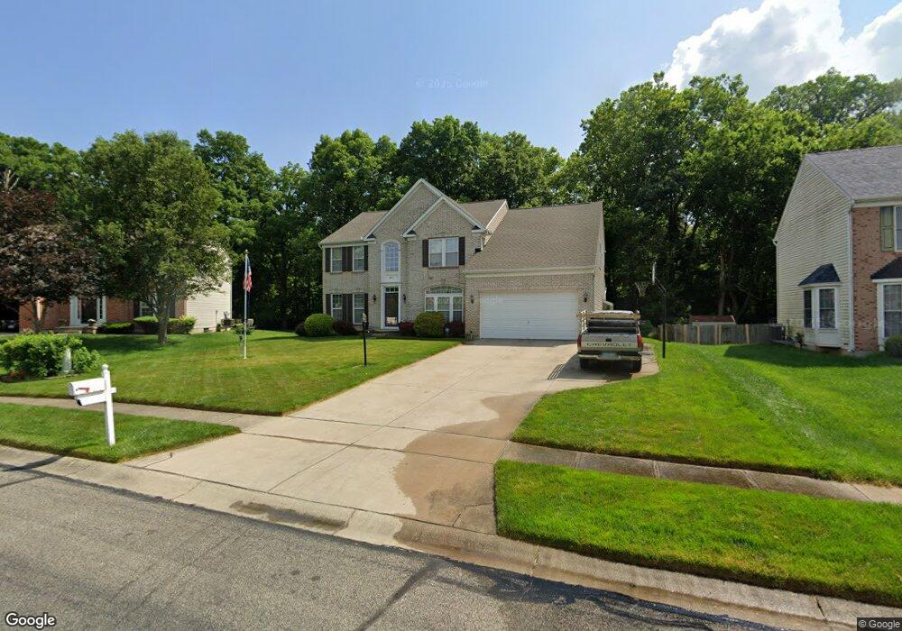
6511 Riverbend Dr Dayton, OH 45415
Estimated Value: $353,000 - $382,000
4
Beds
3
Baths
3,564
Sq Ft
$103/Sq Ft
Est. Value
About This Home
This home is located at 6511 Riverbend Dr, Dayton, OH 45415 and is currently estimated at $367,919, approximately $103 per square foot. 6511 Riverbend Dr is a home located in Montgomery County with nearby schools including Helke Elementary School, Morton Middle School, and Butler High School.
Ownership History
Date
Name
Owned For
Owner Type
Purchase Details
Closed on
Jun 27, 2002
Sold by
Nvr Inc
Bought by
Davis Lajuanzo
Current Estimated Value
Home Financials for this Owner
Home Financials are based on the most recent Mortgage that was taken out on this home.
Original Mortgage
$199,100
Outstanding Balance
$85,061
Interest Rate
6.82%
Estimated Equity
$282,858
Purchase Details
Closed on
Apr 2, 2002
Sold by
Riverbend Meadows Development Co Ltd
Bought by
Nvr Inc
Create a Home Valuation Report for This Property
The Home Valuation Report is an in-depth analysis detailing your home's value as well as a comparison with similar homes in the area
Home Values in the Area
Average Home Value in this Area
Purchase History
| Date | Buyer | Sale Price | Title Company |
|---|---|---|---|
| Davis Lajuanzo | $249,000 | -- | |
| Nvr Inc | $32,900 | -- |
Source: Public Records
Mortgage History
| Date | Status | Borrower | Loan Amount |
|---|---|---|---|
| Open | Davis Lajuanzo | $199,100 |
Source: Public Records
Tax History Compared to Growth
Tax History
| Year | Tax Paid | Tax Assessment Tax Assessment Total Assessment is a certain percentage of the fair market value that is determined by local assessors to be the total taxable value of land and additions on the property. | Land | Improvement |
|---|---|---|---|---|
| 2024 | $5,550 | $92,480 | $14,950 | $77,530 |
| 2023 | $5,550 | $92,480 | $14,950 | $77,530 |
| 2022 | $6,221 | $75,990 | $12,250 | $63,740 |
| 2021 | $6,092 | $75,990 | $12,250 | $63,740 |
| 2020 | $5,807 | $75,990 | $12,250 | $63,740 |
| 2019 | $5,975 | $70,470 | $12,250 | $58,220 |
| 2018 | $6,168 | $70,470 | $12,250 | $58,220 |
| 2017 | $6,157 | $70,470 | $12,250 | $58,220 |
| 2016 | $6,202 | $69,550 | $12,250 | $57,300 |
| 2015 | $5,496 | $69,550 | $12,250 | $57,300 |
| 2014 | $5,496 | $69,550 | $12,250 | $57,300 |
| 2012 | -- | $72,180 | $14,000 | $58,180 |
Source: Public Records
Map
Nearby Homes
- 701 Fredericksburg Dr
- 8090 Dog Leg Rd
- 6552 Stillcrest Way
- 270 Pamela Ave
- 6029 Imperial Hills Dr
- 159 Burgess Ave
- 6810 Trailview Dr
- 6012 Imperial Hills Dr
- 7042 Society Ct
- 6430 Oakhurst Place
- 5653 Philadelphia Dr
- 5563 Fair Valley Rd
- 5473 Fair Valley Rd
- 2625 Secretariat Ct
- 7077 Meeker Commons Ln
- 455 Shiloh Dr
- 5129 Rivers Edge Blvd
- 7040 Frederick Pike
- 7725 Harrington Ave
- 7935 Harrington Ave
- 6519 Riverbend Dr
- 6503 Riverbend Dr
- 6527 Riverbend Dr
- 6495 Riverbend Dr
- 6496 Riverbend Dr
- 6520 Riverbend Dr
- 6535 Riverbend Dr
- 6487 Riverbend Dr
- 6528 Riverbend Dr
- 1492 Scenic River Dr
- 1484 Scenic River Dr
- 6536 Riverbend Dr
- 6543 Riverbend Dr
- 6479 Riverbend Dr
- 1476 Scenic River Dr
- 6390 Philadelphia Dr
- 6544 Riverbend Dr
- 1468 Scenic River Dr
- 6551 Riverbend Dr
- 6471 Riverbend Dr