6511 Secrest Rd Wooster, OH 44691
Estimated Value: $603,000 - $646,000
4
Beds
4
Baths
4,021
Sq Ft
$155/Sq Ft
Est. Value
About This Home
This home is located at 6511 Secrest Rd, Wooster, OH 44691 and is currently estimated at $622,570, approximately $154 per square foot. 6511 Secrest Rd is a home with nearby schools including Waynedale High School, Maple Grove, and STONE HILL.
Ownership History
Date
Name
Owned For
Owner Type
Purchase Details
Closed on
Nov 13, 2012
Sold by
Christman Jerrod Walter and Christman Denise Lynn
Bought by
Alberson Kyle and Alberson Kara
Current Estimated Value
Purchase Details
Closed on
Apr 30, 2004
Sold by
Christman Jerrod Walter and Christman Denise Lynn
Bought by
Christman Jerrod Walter and Christman Denise Lynn
Purchase Details
Closed on
Mar 28, 1997
Sold by
Hochstetler Owen E
Bought by
Jerrod and Christman Denise L
Create a Home Valuation Report for This Property
The Home Valuation Report is an in-depth analysis detailing your home's value as well as a comparison with similar homes in the area
Purchase History
| Date | Buyer | Sale Price | Title Company |
|---|---|---|---|
| Alberson Kyle | $30,000 | Service First | |
| Christman Jerrod Walter | -- | -- | |
| Christman Jerrod Walter | -- | -- | |
| Jerrod | $18,000 | -- |
Source: Public Records
Tax History
| Year | Tax Paid | Tax Assessment Tax Assessment Total Assessment is a certain percentage of the fair market value that is determined by local assessors to be the total taxable value of land and additions on the property. | Land | Improvement |
|---|---|---|---|---|
| 2024 | $6,620 | $180,430 | $33,280 | $147,150 |
| 2023 | $6,731 | $180,430 | $33,280 | $147,150 |
| 2022 | $5,211 | $127,070 | $23,440 | $103,630 |
| 2021 | $5,222 | $127,070 | $23,440 | $103,630 |
| 2020 | $5,279 | $127,070 | $23,440 | $103,630 |
| 2019 | $4,948 | $116,180 | $21,340 | $94,840 |
| 2018 | $5,142 | $116,180 | $21,340 | $94,840 |
| 2017 | $5,834 | $130,260 | $21,340 | $108,920 |
| 2016 | $5,165 | $113,270 | $18,560 | $94,710 |
| 2015 | $4,764 | $112,500 | $18,560 | $93,940 |
| 2014 | $502 | $11,660 | $11,660 | $0 |
| 2013 | $424 | $9,320 | $9,320 | $0 |
Source: Public Records
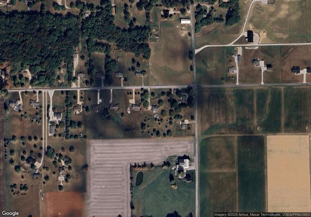
Map
Nearby Homes
- 314 Kountz Dr
- 4974 E Lincoln Way
- 311 Valley View Dr
- 660 Millborne Rd
- 115 Cemetery St
- 3299 Crestview Dr
- 1474 N Honeytown Rd
- 339 Villard St
- 132 Villard St
- 3065 Dover Rd
- 3419 Fredericksburg Rd
- 2630 Bauman Dr
- 8191 Back Orrville Rd
- 2632 Peach Ln
- 1045 Pittsburgh Ave
- 1718 Armadale Isle
- 920 Washington St
- 606 E Henry St
- 938 Washington St
- 110 S Kansas Rd
- 6475 Secrest Rd
- 1225 Barnard Rd
- 1291 Barnard Rd
- 6490 Secrest Rd
- 6443 Secrest Rd
- 6452 Secrest Rd
- 6401 Secrest Rd
- 6416 Secrest Rd
- 1399 Barnard Rd
- 6363 Secrest Rd
- 6378 Secrest Rd
- 1301 Barnard Rd
- 6327 Secrest Rd
- 6300 Secrest Rd
- 6300 Secrest Rd
- 6309 Secrest Rd
- 6479 Chestnut Ridge Dr
- 1044 Barnard Rd
- 6742 Secrest Rd
- 6349 Chestnut Ridge Dr
Your Personal Tour Guide
Ask me questions while you tour the home.