6511 W 600 S Westpoint, IN 47992
Estimated Value: $338,000 - $430,175
3
Beds
2
Baths
3,044
Sq Ft
$128/Sq Ft
Est. Value
About This Home
This home is located at 6511 W 600 S, Westpoint, IN 47992 and is currently estimated at $388,544, approximately $127 per square foot. 6511 W 600 S is a home located in Tippecanoe County with nearby schools including Mintonye Elementary School, Southwestern Middle School, and McCutcheon High School.
Ownership History
Date
Name
Owned For
Owner Type
Purchase Details
Closed on
Jun 3, 2019
Sold by
Swingle Ross J
Bought by
Farrell Lucas and Farrell Natalie
Current Estimated Value
Home Financials for this Owner
Home Financials are based on the most recent Mortgage that was taken out on this home.
Original Mortgage
$196,377
Outstanding Balance
$174,028
Interest Rate
4.5%
Mortgage Type
FHA
Estimated Equity
$214,516
Purchase Details
Closed on
Sep 30, 2011
Sold by
Birge Jr Eagle T
Bought by
Swingle Ross J
Home Financials for this Owner
Home Financials are based on the most recent Mortgage that was taken out on this home.
Original Mortgage
$145,470
Interest Rate
4.22%
Mortgage Type
New Conventional
Purchase Details
Closed on
Jul 12, 2011
Sold by
Birge Julia D
Bought by
Birge Jr Eagle T
Purchase Details
Closed on
Jan 13, 2009
Sold by
Birge Jr Eagle T
Bought by
Birge Jr Eagle T and Birge Julia D
Create a Home Valuation Report for This Property
The Home Valuation Report is an in-depth analysis detailing your home's value as well as a comparison with similar homes in the area
Home Values in the Area
Average Home Value in this Area
Purchase History
| Date | Buyer | Sale Price | Title Company |
|---|---|---|---|
| Farrell Lucas | -- | Columbia Title | |
| Swingle Ross J | -- | None Available | |
| Birge Jr Eagle T | -- | None Available | |
| Birge Jr Eagle T | -- | None Available |
Source: Public Records
Mortgage History
| Date | Status | Borrower | Loan Amount |
|---|---|---|---|
| Open | Farrell Lucas | $196,377 | |
| Previous Owner | Swingle Ross J | $145,470 |
Source: Public Records
Tax History Compared to Growth
Tax History
| Year | Tax Paid | Tax Assessment Tax Assessment Total Assessment is a certain percentage of the fair market value that is determined by local assessors to be the total taxable value of land and additions on the property. | Land | Improvement |
|---|---|---|---|---|
| 2024 | $2,297 | $323,000 | $61,100 | $261,900 |
| 2023 | $1,924 | $278,700 | $29,900 | $248,800 |
| 2022 | $1,841 | $247,900 | $29,900 | $218,000 |
| 2021 | $1,631 | $222,400 | $29,900 | $192,500 |
| 2020 | $1,429 | $205,400 | $29,900 | $175,500 |
| 2019 | $1,353 | $198,900 | $29,900 | $169,000 |
| 2018 | $1,252 | $189,800 | $29,900 | $159,900 |
| 2017 | $1,210 | $187,000 | $29,900 | $157,100 |
| 2016 | $1,218 | $186,400 | $29,900 | $156,500 |
| 2014 | $1,130 | $176,100 | $29,900 | $146,200 |
| 2013 | $1,167 | $173,600 | $29,900 | $143,700 |
Source: Public Records
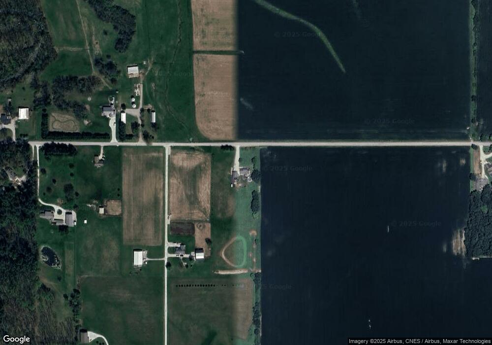
Map
Nearby Homes
- 5819 S 700 W
- 6243 S 700 W
- 6943 Main St
- 6956 Main St
- 7008 Main St
- 5703 S 900 W
- 4511 Indiana 25
- 0 Cr 950 W Unit 202536357
- 4514 Indiana 25
- 4510 Indiana 25
- 5944 N 820 E
- 4550 S 175 W
- 6551 S 150 W
- 4545 S 175 W
- Flint Rd. E 0
- E Flint Rd Unit LotWP001
- 809 Ravenstone Dr
- 825 Drydock Dr
- 1062 N Admirals Pointe Dr
- 4254-4268 Admirals Cove Dr