Estimated Value: $1,497,000 - $1,837,000
4
Beds
3
Baths
2,946
Sq Ft
$569/Sq Ft
Est. Value
About This Home
This home is located at 65115 Smokey Butte Dr, Bend, OR 97703 and is currently estimated at $1,677,379, approximately $569 per square foot. 65115 Smokey Butte Dr is a home located in Deschutes County with nearby schools including Tumalo Community School, Obsidian Middle School, and Ridgeview High School.
Ownership History
Date
Name
Owned For
Owner Type
Purchase Details
Closed on
Jan 5, 2022
Sold by
Jones Ronald A and Jones Cristi
Bought by
Jones Ronald A and Jones Cristi
Current Estimated Value
Purchase Details
Closed on
May 23, 2011
Sold by
Richardson Edwin J and Richardson Beulah L
Bought by
Jones Ronald A and Jones Cristi
Home Financials for this Owner
Home Financials are based on the most recent Mortgage that was taken out on this home.
Original Mortgage
$351,200
Outstanding Balance
$242,749
Interest Rate
4.84%
Mortgage Type
New Conventional
Estimated Equity
$1,434,630
Create a Home Valuation Report for This Property
The Home Valuation Report is an in-depth analysis detailing your home's value as well as a comparison with similar homes in the area
Home Values in the Area
Average Home Value in this Area
Purchase History
| Date | Buyer | Sale Price | Title Company |
|---|---|---|---|
| Jones Ronald A | -- | None Available | |
| Jones Ronald A | $439,000 | Amerititle |
Source: Public Records
Mortgage History
| Date | Status | Borrower | Loan Amount |
|---|---|---|---|
| Open | Jones Ronald A | $351,200 |
Source: Public Records
Tax History Compared to Growth
Tax History
| Year | Tax Paid | Tax Assessment Tax Assessment Total Assessment is a certain percentage of the fair market value that is determined by local assessors to be the total taxable value of land and additions on the property. | Land | Improvement |
|---|---|---|---|---|
| 2025 | $9,688 | $617,590 | -- | -- |
| 2024 | $9,264 | $599,610 | -- | -- |
| 2023 | $8,757 | $582,150 | $0 | $0 |
| 2022 | $8,057 | $548,740 | $0 | $0 |
| 2021 | $8,055 | $532,760 | $0 | $0 |
| 2020 | $7,657 | $532,760 | $0 | $0 |
| 2019 | $7,432 | $517,250 | $0 | $0 |
| 2018 | $7,255 | $502,190 | $0 | $0 |
| 2017 | $7,094 | $487,570 | $0 | $0 |
| 2016 | $7,015 | $473,370 | $0 | $0 |
| 2015 | $6,797 | $459,590 | $0 | $0 |
| 2014 | $6,553 | $446,210 | $0 | $0 |
Source: Public Records
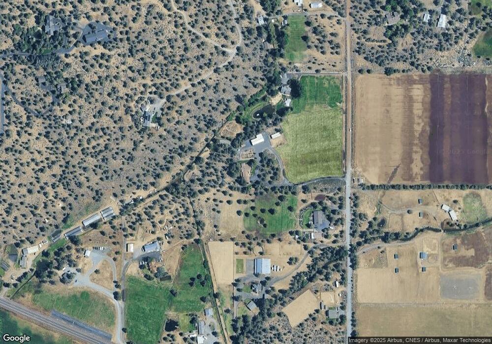
Map
Nearby Homes
- 19375 Dayton Rd
- 19190 Pinehurst Rd
- 65365 Concorde Ln
- 65010 Gerking Market Rd
- 19189 Dayton Rd
- 64810 Bill Martin Rd
- 65160 Highland Rd
- 0 Bailey Rd Unit 220199711
- 64624 Cook Ave
- 20001 Beaver Ln
- 20087 Beaver Ln
- 65570 Highway 20
- 19496 Tumalo Reservoir Rd
- 65600 Highway 20
- 65030 Wapiti Way
- 19909 Juniper Ln
- 65255 Swalley Rd
- 65655 Cline Falls Rd
- 65020 Swalley Rd
- 19045 Tumalo Reservoir Rd
- 65115 Smokey Butte Dr
- 65093 Smokey Butte Dr
- 65093 Smokey Butte Dr
- 65145 Smokey Butte Dr
- 65145 Smokey Butte Dr
- 19300 Farview Dr
- 65016 Highway 20
- 65024 Highway 20
- 65161 Smokey Butte Dr
- 65161 Smokey Butte Dr
- 65024 U S 20
- 1 Farview Dr
- 65020 Highway 20
- 65020 U S 20
- 65059 Smokey Butte Dr
- 65059 Smokey Butte Dr
- 19378 Farview Dr
- 65050 U S 20
- 65130 Smokey Ridge Rd