Estimated Value: $213,000 - $233,136
2
Beds
2
Baths
1,748
Sq Ft
$127/Sq Ft
Est. Value
About This Home
This home is located at 6512 Amber Ct Unit 50, Mason, OH 45040 and is currently estimated at $221,784, approximately $126 per square foot. 6512 Amber Ct Unit 50 is a home located in Warren County with nearby schools including Mason Intermediate Elementary School, Mason Middle School, and William Mason High School.
Ownership History
Date
Name
Owned For
Owner Type
Purchase Details
Closed on
Dec 16, 2011
Sold by
Brown Terrence Mark
Bought by
Mcguinness Colleen M
Current Estimated Value
Home Financials for this Owner
Home Financials are based on the most recent Mortgage that was taken out on this home.
Original Mortgage
$56,812
Outstanding Balance
$39,528
Interest Rate
4.37%
Mortgage Type
FHA
Estimated Equity
$182,256
Purchase Details
Closed on
Aug 25, 2006
Sold by
Allen Gerald W
Bought by
Brown Terrence Mark
Home Financials for this Owner
Home Financials are based on the most recent Mortgage that was taken out on this home.
Original Mortgage
$110,269
Interest Rate
6.88%
Mortgage Type
FHA
Purchase Details
Closed on
Sep 28, 1987
Sold by
Loughrea Loughrea and Loughrea Edward R
Bought by
Allen Allen and Allen Gerald W
Purchase Details
Closed on
Feb 2, 1982
Sold by
Ryland Group Inc
Purchase Details
Closed on
Aug 17, 1981
Sold by
Ryland Group & Inc
Create a Home Valuation Report for This Property
The Home Valuation Report is an in-depth analysis detailing your home's value as well as a comparison with similar homes in the area
Home Values in the Area
Average Home Value in this Area
Purchase History
| Date | Buyer | Sale Price | Title Company |
|---|---|---|---|
| Mcguinness Colleen M | $58,300 | Prodigy Title | |
| Brown Terrence Mark | $112,000 | Title Resolutions | |
| Allen Allen | $52,900 | -- | |
| -- | $46,000 | -- | |
| -- | -- | -- |
Source: Public Records
Mortgage History
| Date | Status | Borrower | Loan Amount |
|---|---|---|---|
| Open | Mcguinness Colleen M | $56,812 | |
| Previous Owner | Brown Terrence Mark | $110,269 |
Source: Public Records
Tax History Compared to Growth
Tax History
| Year | Tax Paid | Tax Assessment Tax Assessment Total Assessment is a certain percentage of the fair market value that is determined by local assessors to be the total taxable value of land and additions on the property. | Land | Improvement |
|---|---|---|---|---|
| 2024 | $2,646 | $65,170 | $17,500 | $47,670 |
| 2023 | $1,884 | $39,186 | $6,457 | $32,728 |
| 2022 | $1,860 | $39,186 | $6,458 | $32,729 |
| 2021 | $1,762 | $39,186 | $6,458 | $32,729 |
| 2020 | $1,671 | $31,857 | $5,250 | $26,607 |
| 2019 | $1,536 | $31,857 | $5,250 | $26,607 |
| 2018 | $1,541 | $31,857 | $5,250 | $26,607 |
| 2017 | $1,426 | $27,521 | $4,389 | $23,132 |
| 2016 | $1,469 | $27,521 | $4,389 | $23,132 |
| 2015 | $1,472 | $27,521 | $4,389 | $23,132 |
| 2014 | $1,578 | $27,520 | $4,390 | $23,130 |
| 2013 | $1,582 | $32,920 | $5,250 | $27,670 |
Source: Public Records
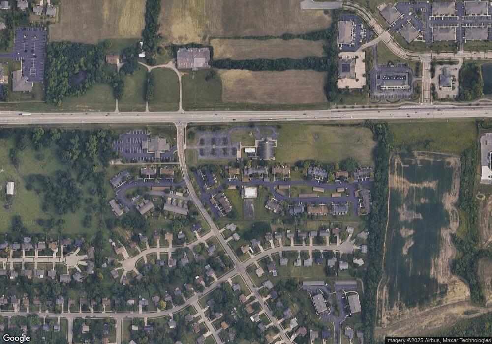
Map
Nearby Homes
- 6070 Fireside Dr Unit 45
- 6134 Nicholas Way
- 6142 Nicholas Way
- 6138 Nicholas Way
- 6387 Coverage Ct
- 6369 Coverage Ct
- 6403 Coverage Ct
- 6357 Coverage Ct
- 6383 Coverage Ct
- 6407 Coverage Ct
- 6375 Coverage Ct
- 6365 Coverage Ct
- 6361 Coverage Ct
- 6379 Coverage Ct
- 6411 Coverage Ct
- 6126 Nicholas Way
- 6146 Nicholas Way
- 6150 Nicholas Way
- 6358 Coverage Ct
- 6362 Coverage Ct
- 6510 Amber Ct
- 6510 Amber Ct Unit 51
- 6508 Amber Ct
- 6530 Amber Ct Unit 49
- 6506 Amber Ct
- 6504 Amber Ct
- 6534 Amber Ct Unit 47
- 6502 Amber Ct
- 6536 Amber Ct
- 6488 Amber Ct Unit 57
- 6484 Amber Ct
- 6078 Fireside Dr
- 6076 Fireside Dr
- 6482 Amber Ct Unit 60
- 6074 Fireside Dr
- 6110 Fireside Dr Unit 40
- 6072 Fireside Dr
- 6300 Amber Ct
- 6112 Fireside Dr
- 6114 Fireside Dr