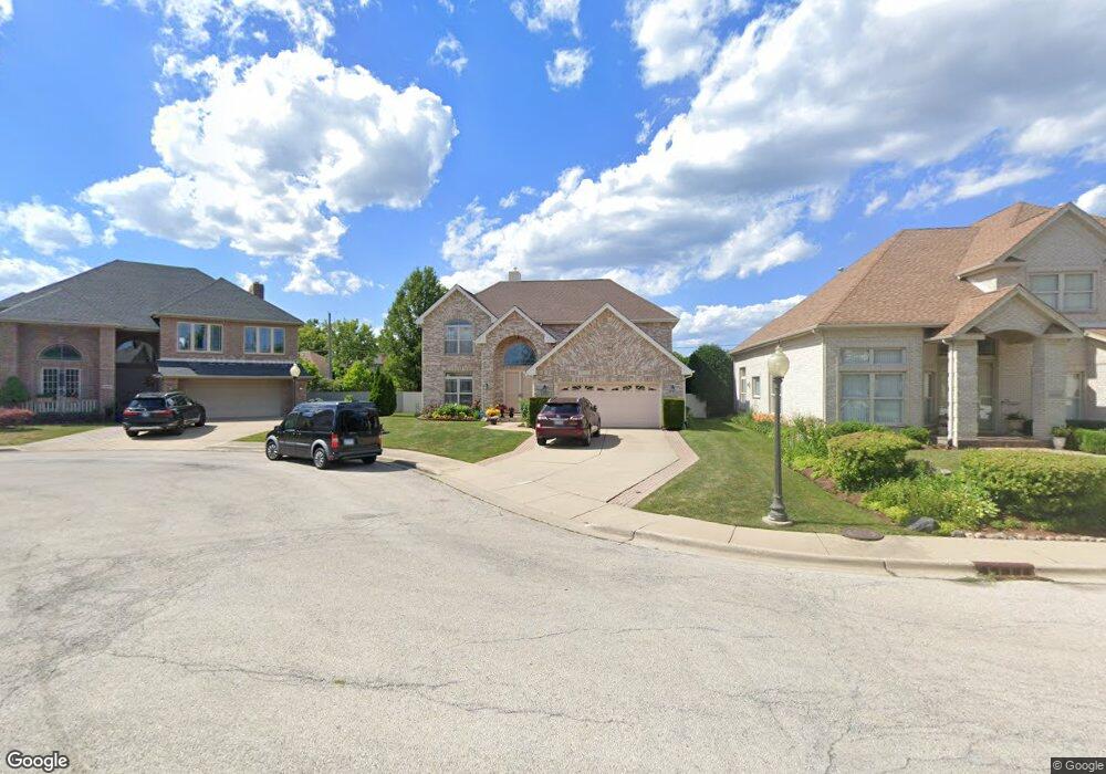
6512 Lyons St Morton Grove, IL 60053
Estimated Value: $723,419 - $864,000
4
Beds
3
Baths
2,560
Sq Ft
$309/Sq Ft
Est. Value
About This Home
This home is located at 6512 Lyons St, Morton Grove, IL 60053 and is currently estimated at $792,105, approximately $309 per square foot. 6512 Lyons St is a home located in Cook County with nearby schools including Hynes Elementary School, Golf Middle School, and Niles North High School.
Ownership History
Date
Name
Owned For
Owner Type
Purchase Details
Closed on
Feb 25, 2000
Sold by
Wohlers Feeding Company
Bought by
Patel Dayal R and Patel Sharda D
Current Estimated Value
Home Financials for this Owner
Home Financials are based on the most recent Mortgage that was taken out on this home.
Original Mortgage
$100,000
Interest Rate
7.37%
Create a Home Valuation Report for This Property
The Home Valuation Report is an in-depth analysis detailing your home's value as well as a comparison with similar homes in the area
Home Values in the Area
Average Home Value in this Area
Purchase History
| Date | Buyer | Sale Price | Title Company |
|---|---|---|---|
| Patel Dayal R | $426,000 | -- |
Source: Public Records
Mortgage History
| Date | Status | Borrower | Loan Amount |
|---|---|---|---|
| Closed | Patel Dayal R | $100,000 |
Source: Public Records
Tax History Compared to Growth
Tax History
| Year | Tax Paid | Tax Assessment Tax Assessment Total Assessment is a certain percentage of the fair market value that is determined by local assessors to be the total taxable value of land and additions on the property. | Land | Improvement |
|---|---|---|---|---|
| 2024 | $13,317 | $54,924 | $16,447 | $38,477 |
| 2023 | $13,213 | $54,924 | $16,447 | $38,477 |
| 2022 | $13,213 | $57,000 | $16,447 | $40,553 |
| 2021 | $12,923 | $49,636 | $9,905 | $39,731 |
| 2020 | $12,811 | $49,636 | $9,905 | $39,731 |
| 2019 | $13,606 | $58,255 | $9,905 | $48,350 |
| 2018 | $12,526 | $49,250 | $8,597 | $40,653 |
| 2017 | $13,393 | $49,250 | $8,597 | $40,653 |
| 2016 | $14,584 | $55,317 | $8,597 | $46,720 |
| 2015 | $14,089 | $49,163 | $7,102 | $42,061 |
| 2014 | $13,835 | $49,163 | $7,102 | $42,061 |
| 2013 | $13,579 | $49,163 | $7,102 | $42,061 |
Source: Public Records
Map
Nearby Homes
- 9247 Natchez Ave
- 6712 Maple St
- 6619 Palma Ln
- 9244 Newcastle Ave
- 6638 Hazel St
- 6909 Beckwith Rd
- 27 Logan Terrace
- 8929 Cherry Ave
- 6727 Beckwith Rd
- 9421 Sayre Ave
- 7014 Church St
- 7030 Foster St
- 6346 Hennings Ct
- 6344 Hennings Ct
- 6342 Hennings Ct
- 6340 Hennings Ct
- 6334 Hennings Ct
- 6336 Hennings Ct
- 6332 Hennings Ct
- 6338 Hennings Ct
- 6508 Lyons St
- 6516 Lyons St
- 6504 Lyons St
- 6520 Lyons St
- 9326 Neenah Ave
- 6500 Lyons St
- 6509 Lyons St
- 6513 Lyons St
- 6521 Lyons St
- 6517 Lyons St
- 6505 Lyons St
- 9333 Neenah Ave
- 9251 Nashville Ave
- 9330 Neenah Ave
- 6444 Lyons St
- 9247 Nashville Ave
- 9325 Nashville Ave
- 6501 Lyons St
- 6534 Maple St
- 9329 Nashville Ave