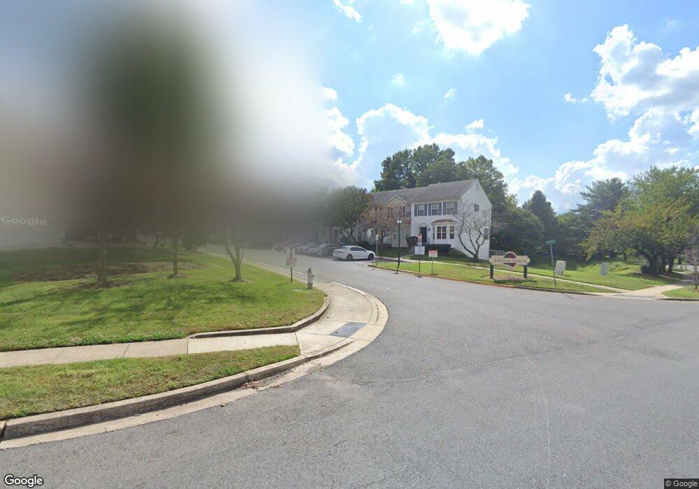
6513 Ronald Rd Capitol Heights, MD 20743
Estimated Value: $313,617 - $350,000
Studio
3
Baths
1,330
Sq Ft
$246/Sq Ft
Est. Value
About This Home
This home is located at 6513 Ronald Rd, Capitol Heights, MD 20743 and is currently estimated at $327,154, approximately $245 per square foot. 6513 Ronald Rd is a home located in Prince George's County with nearby schools including Concord Elementary School, Walker Mill Middle School, and Central High School.
Ownership History
Date
Name
Owned For
Owner Type
Purchase Details
Closed on
Feb 5, 2002
Sold by
Secretary Of H U D
Bought by
Johns Veronica
Current Estimated Value
Purchase Details
Closed on
Sep 13, 2000
Sold by
Branscomb Herbert D and Branscomb Denise A
Bought by
Secretary Of H U D and Union Center Plaza Phase Ii
Purchase Details
Closed on
Jul 12, 1994
Sold by
Addison Station Lp
Bought by
Branscomb Herbert D
Home Financials for this Owner
Home Financials are based on the most recent Mortgage that was taken out on this home.
Original Mortgage
$120,757
Interest Rate
8.51%
Create a Home Valuation Report for This Property
The Home Valuation Report is an in-depth analysis detailing your home's value as well as a comparison with similar homes in the area
Home Values in the Area
Average Home Value in this Area
Purchase History
We collect this data history from publicly available records. To have your information removed, we recommend requesting removal directly through your county’s website.
| Date | Buyer | Sale Price | Title Company |
|---|---|---|---|
| Johns Veronica | $122,500 | -- | |
| Secretary Of H U D | $144,000 | -- | |
| Branscomb Herbert D | $124,900 | -- |
Source: Public Records
Mortgage History
We collect this data history from publicly available records. To have your information removed, we recommend requesting removal directly through your county’s website.
| Date | Status | Borrower | Loan Amount |
|---|---|---|---|
| Previous Owner | Branscomb Herbert D | $120,757 |
Source: Public Records
Tax History
| Year | Tax Paid | Tax Assessment Tax Assessment Total Assessment is a certain percentage of the fair market value that is determined by local assessors to be the total taxable value of land and additions on the property. | Land | Improvement |
|---|---|---|---|---|
| 2025 | $4,346 | $292,933 | -- | -- |
| 2024 | $4,346 | $266,167 | -- | -- |
| 2023 | $3,947 | $239,400 | $65,000 | $174,400 |
| 2022 | $3,936 | $238,667 | $0 | $0 |
| 2021 | $3,925 | $237,933 | $0 | $0 |
| 2020 | $3,914 | $237,200 | $45,000 | $192,200 |
| 2019 | $3,719 | $224,067 | $0 | $0 |
| 2018 | $3,524 | $210,933 | $0 | $0 |
| 2017 | $3,329 | $197,800 | $0 | $0 |
| 2016 | -- | $186,267 | $0 | $0 |
| 2015 | $3,240 | $174,733 | $0 | $0 |
| 2014 | $3,240 | $163,200 | $0 | $0 |
Source: Public Records
Map
Nearby Homes
- 1133 Wilberforce Ct
- 1301 Karen Blvd Unit 201
- 1301 Karen Blvd Unit 401
- 1501 Pine Grove Rd
- 1321 Karen Blvd Unit 103
- 1321 Karen Blvd Unit 208
- 1321 Karen Blvd Unit 301
- 1341 Karen Blvd Unit 106
- 1062 Karen Blvd
- 6745 Milltown Ct
- 0 Rollins Ave Unit MDPG2158618
- 908 Evers Ave
- 6805 Milltown Ct
- 6205 Palatine Ave
- 6813 Milltown Ct
- 1009 Rollins Ave
- 1005 Rollins Ave
- 1639 Addison Rd S
- 6957 Walker Mill Rd
- 1701 Addison Rd S
- 6515 Ronald Rd
- 6515 Ronald Rd Unit PAR
- 6517 Ronald Rd
- 6511 Ronald Rd
- 6519 Ronald Rd
- 6509 Ronald Rd
- 6507 Ronald Rd
- 6521 Ronald Rd
- 6523 Ronald Rd
- 6505 Ronald Rd
- 6525 Ronald Rd
- 6527 Ronald Rd
- 6599 Ronald Rd
- 6529 Ronald Rd
- 6597 Ronald Rd
- 6595 Ronald Rd
- 6531 Ronald Rd
- 6591 Ronald Rd
- 6533 Ronald Rd
- 6583 Ronald Rd
Your Personal Tour Guide
Ask me questions while you tour the home.