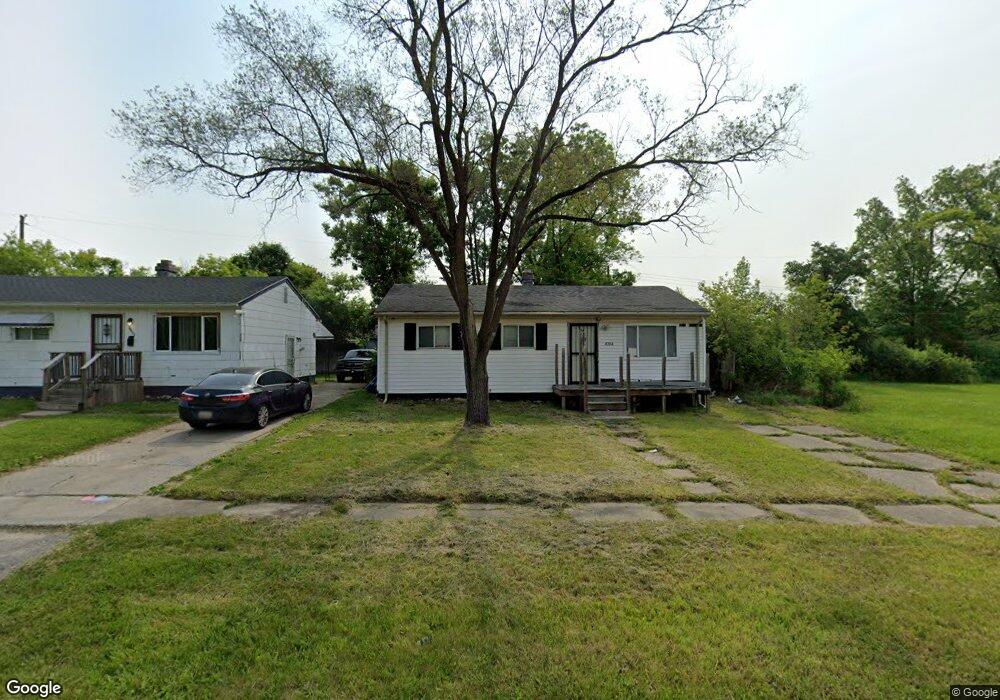
6514 Cecil Dr Flint, MI 48505
Northeast Village NeighborhoodEstimated Value: $23,000 - $60,000
3
Beds
1
Bath
870
Sq Ft
$49/Sq Ft
Est. Value
About This Home
This home is located at 6514 Cecil Dr, Flint, MI 48505 and is currently estimated at $42,297, approximately $48 per square foot. 6514 Cecil Dr is a home located in Genesee County with nearby schools including Brownell STEM Academy, The New Standard Academy, and Richfield Public School Academy.
Ownership History
Date
Name
Owned For
Owner Type
Purchase Details
Closed on
May 3, 2025
Sold by
Brown Aaron Zavon and Darrough Donyele Roche
Bought by
Banks Felicia Renee
Current Estimated Value
Purchase Details
Closed on
May 21, 2013
Sold by
Brown Brandy
Bought by
Brown Aaron
Purchase Details
Closed on
Aug 2, 2004
Sold by
Hutchinson Jack and Hutchinson Eva
Bought by
Brown Aaron and Brown Brandi
Create a Home Valuation Report for This Property
The Home Valuation Report is an in-depth analysis detailing your home's value as well as a comparison with similar homes in the area
Home Values in the Area
Average Home Value in this Area
Purchase History
| Date | Buyer | Sale Price | Title Company |
|---|---|---|---|
| Banks Felicia Renee | -- | None Listed On Document | |
| Brown Aaron | -- | None Available | |
| Brown Aaron | $13,000 | Metropolitan Title Company |
Source: Public Records
Tax History
| Year | Tax Paid | Tax Assessment Tax Assessment Total Assessment is a certain percentage of the fair market value that is determined by local assessors to be the total taxable value of land and additions on the property. | Land | Improvement |
|---|---|---|---|---|
| 2025 | $494 | $10,000 | $0 | $0 |
| 2024 | $464 | $8,700 | $0 | $0 |
| 2023 | $466 | $8,400 | $0 | $0 |
| 2022 | $0 | $7,200 | $0 | $0 |
| 2021 | $473 | $6,800 | $0 | $0 |
| 2020 | $444 | $4,700 | $0 | $0 |
| 2019 | $444 | $4,500 | $0 | $0 |
| 2018 | $2,359 | $4,700 | $0 | $0 |
| 2017 | $3,550 | $0 | $0 | $0 |
| 2016 | $397 | $0 | $0 | $0 |
| 2015 | -- | $0 | $0 | $0 |
| 2014 | -- | $0 | $0 | $0 |
| 2012 | -- | $4,700 | $0 | $0 |
Source: Public Records
Map
Nearby Homes
- 1704 E Webster Rd
- 5910 N Dort Hwy
- E E Carpenter Rd
- 1218 E Piper Ave
- 1206 E Home Ave
- 5919 Western Rd
- 6101 Selby St
- 2727 Eaton Place
- 3013 Hampstead Dr
- 2825 Eaton Place
- 802 E Russell Ave
- 2909 E Pierson Rd
- 418 E Foss Ave
- 1151 E Cornell Ave
- 4907 Delta Dr
- 638 E Foss Ave
- 1023 E Princeton Ave
- 1080 E Cornell Ave
- 5190 Branch Rd
- 1062 Tremont Ave
Your Personal Tour Guide
Ask me questions while you tour the home.