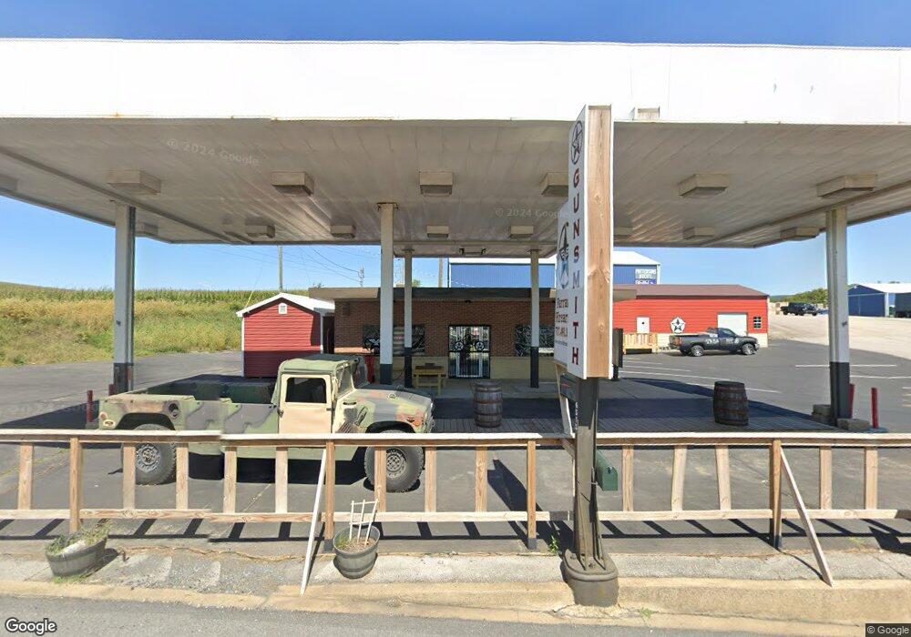
6515 Buchanan Trail E Waynesboro, PA 17268
Estimated Value: $291,919
--
Bed
--
Bath
1,295
Sq Ft
$225/Sq Ft
Est. Value
About This Home
This home is located at 6515 Buchanan Trail E, Waynesboro, PA 17268 and is currently estimated at $291,919, approximately $225 per square foot. 6515 Buchanan Trail E is a home located in Franklin County with nearby schools including Waynesboro Area Senior High School, St. Andrew Catholic School, and Noah's Ark Christian Child Care Center.
Ownership History
Date
Name
Owned For
Owner Type
Purchase Details
Closed on
May 25, 2023
Sold by
Farrar Calvin and Farrar Heidi Jo
Bought by
Station Holdings Llc
Current Estimated Value
Purchase Details
Closed on
May 24, 2023
Sold by
Farrar Calvin and Farrar Heidi Jo
Bought by
Station Holdings Llc
Purchase Details
Closed on
Aug 6, 2021
Sold by
Clopper Gregory L and Clopper Dina J
Bought by
Farrar Calvin
Purchase Details
Closed on
Dec 30, 2005
Sold by
Hammer Robert L and Estate Of Lee Hanner
Bought by
Clooper Gregory L and Clooper Dina J
Home Financials for this Owner
Home Financials are based on the most recent Mortgage that was taken out on this home.
Original Mortgage
$221,000
Interest Rate
6.28%
Mortgage Type
Future Advance Clause Open End Mortgage
Create a Home Valuation Report for This Property
The Home Valuation Report is an in-depth analysis detailing your home's value as well as a comparison with similar homes in the area
Home Values in the Area
Average Home Value in this Area
Purchase History
| Date | Buyer | Sale Price | Title Company |
|---|---|---|---|
| Station Holdings Llc | -- | Land Services | |
| Station Holdings Llc | -- | Land Services | |
| Farrar Calvin | $115,000 | Keystone Re Stlmt Svcs Inc | |
| Clooper Gregory L | $260,000 | None Available |
Source: Public Records
Mortgage History
| Date | Status | Borrower | Loan Amount |
|---|---|---|---|
| Previous Owner | Clooper Gregory L | $221,000 |
Source: Public Records
Tax History Compared to Growth
Tax History
| Year | Tax Paid | Tax Assessment Tax Assessment Total Assessment is a certain percentage of the fair market value that is determined by local assessors to be the total taxable value of land and additions on the property. | Land | Improvement |
|---|---|---|---|---|
| 2025 | $4,103 | $26,710 | $4,420 | $22,290 |
| 2024 | $3,634 | $24,370 | $4,420 | $19,950 |
| 2023 | $3,527 | $24,370 | $4,420 | $19,950 |
| 2022 | $3,422 | $24,370 | $4,420 | $19,950 |
| 2021 | $3,325 | $24,370 | $4,420 | $19,950 |
| 2020 | $3,273 | $24,370 | $4,420 | $19,950 |
| 2019 | $3,200 | $24,370 | $4,420 | $19,950 |
| 2018 | $3,097 | $24,370 | $4,420 | $19,950 |
| 2017 | $2,300 | $18,500 | $4,420 | $14,080 |
| 2016 | $530 | $18,500 | $4,420 | $14,080 |
| 2015 | $494 | $18,500 | $4,420 | $14,080 |
| 2014 | $494 | $18,500 | $4,420 | $14,080 |
Source: Public Records
Map
Nearby Homes
- 158 Bradford Spring Ct
- 504 Cleveland Ave
- 422 Cleveland Ave
- 101 Fairview Ave
- 25 Fairview Ave
- 217 Fairview Ave
- 0 Westview Ave
- 12708 Cold Springs Rd
- 6668 Marsh Rd
- 435 Scott Ave
- 12041 Koons Rd
- 208 Hamilton Ave
- 336 Fairmount Ave
- 228 Hamilton Ave
- TBD Whippet Trail
- TBD Harrier Way
- 5385 Harrier Way
- 5377 Harrier Way
- 418 W 6th St
- 6557 Buchanan Trail E
- 6596 Buchanan Trail E
- 6524 Buchanan Trail E
- 6640 Buchanan Trail E
- 905 W Main St
- 901 W Main St
- 900 W Main St
- 11719 Prices Church Rd
- 11739 Prices Church Rd
- 28 Prices Church Rd
- 883 W Main St
- 896 W Main St
- 774 W 3rd St
- 812 W Main St
- 126 Prices Church Rd
- 129 Prices Church Rd
- 729 Fir Spring Dr
- 727 Fir Spring Dr
- 731 Fir Spring Dr
- 750 Third St W