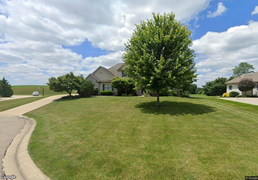
6515 Cliffside Ave NW Massillon, OH 44646
Amherst Heights-Clearview NeighborhoodEstimated Value: $523,000 - $633,000
4
Beds
3
Baths
3,128
Sq Ft
$182/Sq Ft
Est. Value
About This Home
This home is located at 6515 Cliffside Ave NW, Massillon, OH 44646 and is currently estimated at $569,934, approximately $182 per square foot. 6515 Cliffside Ave NW is a home located in Stark County with nearby schools including Sauder Elementary School, Jackson Memorial Middle School, and Jackson High School.
Ownership History
Date
Name
Owned For
Owner Type
Purchase Details
Closed on
Oct 14, 2005
Sold by
Mudbrook Group Llc
Bought by
Croasmun Richard T and Croasmun Sheila R
Current Estimated Value
Home Financials for this Owner
Home Financials are based on the most recent Mortgage that was taken out on this home.
Original Mortgage
$294,810
Interest Rate
5.83%
Mortgage Type
Fannie Mae Freddie Mac
Create a Home Valuation Report for This Property
The Home Valuation Report is an in-depth analysis detailing your home's value as well as a comparison with similar homes in the area
Home Values in the Area
Average Home Value in this Area
Purchase History
| Date | Buyer | Sale Price | Title Company |
|---|---|---|---|
| Croasmun Richard T | $64,900 | Relyon Title Agency Inc |
Source: Public Records
Mortgage History
| Date | Status | Borrower | Loan Amount |
|---|---|---|---|
| Closed | Croasmun Richard T | $294,810 |
Source: Public Records
Tax History Compared to Growth
Tax History
| Year | Tax Paid | Tax Assessment Tax Assessment Total Assessment is a certain percentage of the fair market value that is determined by local assessors to be the total taxable value of land and additions on the property. | Land | Improvement |
|---|---|---|---|---|
| 2025 | -- | $168,530 | $40,780 | $127,750 |
| 2024 | -- | $168,530 | $40,780 | $127,750 |
| 2023 | $7,023 | $140,640 | $37,910 | $102,730 |
| 2022 | $6,987 | $140,640 | $37,910 | $102,730 |
| 2021 | $7,014 | $140,640 | $37,910 | $102,730 |
| 2020 | $6,423 | $118,340 | $32,690 | $85,650 |
| 2019 | $3,376 | $118,340 | $32,690 | $85,650 |
| 2018 | $6,218 | $118,340 | $32,690 | $85,650 |
| 2017 | $6,531 | $118,300 | $29,540 | $88,760 |
| 2016 | $6,670 | $120,020 | $29,540 | $90,480 |
| 2015 | $6,752 | $120,020 | $29,540 | $90,480 |
| 2014 | $378 | $108,400 | $26,710 | $81,690 |
| 2013 | $3,137 | $108,400 | $26,710 | $81,690 |
Source: Public Records
Map
Nearby Homes
- 8322 Forest Ridge St NW
- 6116 Kirknewton Cir NW
- 8028 Clifton Court Cir NW
- 8872 Franklin St NW
- 8920 Franklin NW
- 7087 Emerson Cir NW
- 9042 Wolocott St NW
- Asheville Plan at Heritage Park
- Boise Plan at Heritage Park
- 8932 Franklin St NW
- 7040 Lutz Ave NW
- 8932 Camden Rd NW
- 7750 Killeen St NW
- 7324 Roman Ave NW
- 5679 Carters Grove Cir NW
- 7498 Greenview Ave NW
- 8079 Windward Trace Cir NW
- 7412 Klingston St NW
- 0 High Mill Ave NW
- 7622 Greenview Ave NW
- 6533 Cliffside Ave NW
- 8514 Birchcrest St NW
- 8500 Birchcrest St NW
- 6555 Cliffside Ave NW
- 6520 Cliffside Ave NW
- 8476 Birchcrest St NW
- 6538 Cliffside Ave NW
- 6577 Cliffside Ave NW
- 8517 Beechcreek St NW Unit 9
- 8505 Beechcreek St NW Unit 10
- 6556 Cliffside Ave NW
- 8483 Beechcreek St NW
- 8483 Beechcreek St NW Unit 12
- 6469 Glenbrook Ave NW
- 6578 Cliffside Ave NW
- 6599 Cliffside Ave NW
- 8531 Beechcreek St NW
- 8471 Beechcreek St NW
- 8500 Beechcreek St NW
- 8522 Beechcreek St NW