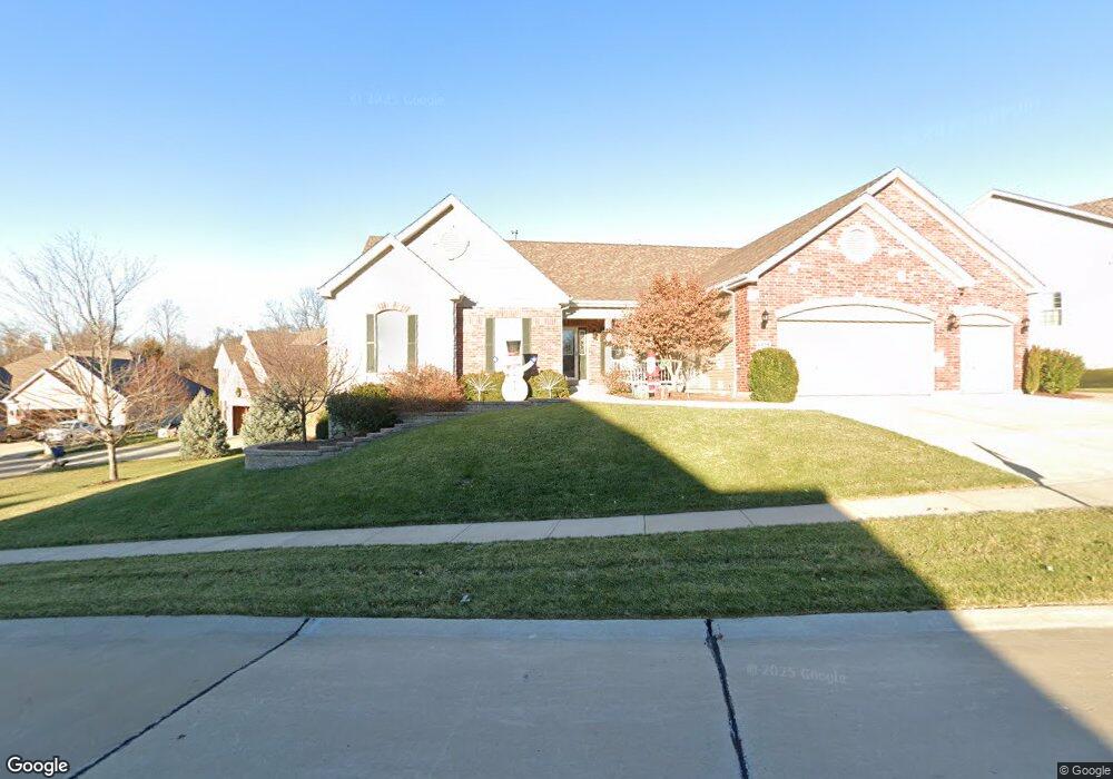
6515 Devonhurst Dr Saint Louis, MO 63129
Estimated Value: $687,000 - $757,000
3
Beds
3
Baths
3,699
Sq Ft
$198/Sq Ft
Est. Value
About This Home
This home is located at 6515 Devonhurst Dr, Saint Louis, MO 63129 and is currently estimated at $731,532, approximately $197 per square foot. 6515 Devonhurst Dr is a home with nearby schools including Point Elementary School, Oakville Middle School, and Oakville Senior High School.
Ownership History
Date
Name
Owned For
Owner Type
Purchase Details
Closed on
Dec 28, 2011
Sold by
Schwartzmeyer Michael A and Schwartzmeyer Barbara A
Bought by
Schartzmeyer Michael A and Schwa Barbara A
Current Estimated Value
Purchase Details
Closed on
Oct 21, 2010
Sold by
Mcbride & Son Homes Inc
Bought by
Schwartzmeyer Michael A and Schwartzmeyer Barbara A
Home Financials for this Owner
Home Financials are based on the most recent Mortgage that was taken out on this home.
Original Mortgage
$100,000
Outstanding Balance
$730
Interest Rate
3.86%
Mortgage Type
New Conventional
Estimated Equity
$730,802
Create a Home Valuation Report for This Property
The Home Valuation Report is an in-depth analysis detailing your home's value as well as a comparison with similar homes in the area
Home Values in the Area
Average Home Value in this Area
Purchase History
| Date | Buyer | Sale Price | Title Company |
|---|---|---|---|
| Schartzmeyer Michael A | -- | None Available | |
| Schwartzmeyer Michael A | $362,315 | Dependable Title Llc |
Source: Public Records
Mortgage History
| Date | Status | Borrower | Loan Amount |
|---|---|---|---|
| Open | Schwartzmeyer Michael A | $100,000 |
Source: Public Records
Tax History
| Year | Tax Paid | Tax Assessment Tax Assessment Total Assessment is a certain percentage of the fair market value that is determined by local assessors to be the total taxable value of land and additions on the property. | Land | Improvement |
|---|---|---|---|---|
| 2025 | $8,482 | $107,390 | $18,620 | $88,770 |
| 2024 | $8,482 | $126,790 | $18,620 | $108,170 |
| 2023 | $8,373 | $126,790 | $18,620 | $108,170 |
| 2022 | $5,756 | $87,500 | $11,230 | $76,270 |
| 2021 | $5,570 | $87,500 | $11,230 | $76,270 |
| 2020 | $5,834 | $87,190 | $14,380 | $72,810 |
| 2019 | $5,816 | $87,190 | $14,380 | $72,810 |
| 2018 | $5,209 | $70,480 | $9,600 | $60,880 |
| 2017 | $5,202 | $70,480 | $9,600 | $60,880 |
| 2016 | $5,086 | $66,110 | $9,600 | $56,510 |
Source: Public Records
Map
Nearby Homes
- 6324 Telegraph Rd
- 6449 Bluff Farm Dr
- 6129 Arbor Green Dr
- 2655 Storm Lake Dr
- 155 Susan Rd
- 6116 Arbor Green Dr
- 2536 Black Water Dr
- 2804 Bear Creek Ct
- 6533 Heintz Rd
- 6835 Bear Creek Dr
- 169 Tori Pines Dr Unit 35
- 173 Tori Pines Dr Unit 37
- 7008 Willow Stream Ct
- 2948 Erb Rd
- 6906 Wellsford Ct
- 5810 Flaming Leaf Ct
- 3109 Broken Oak Dr Unit D
- 5788 Westphalia Ln Unit 5788
- 5766 Westphalia Ln Unit B
- 2766 Chalet Hill Dr
- 6511 Devonhurst Dr
- 2506 Devonhurst Cir
- 6516 Devonhurst Dr
- 6507 Devonhurst Dr
- 2502 Devon Hurst Cir
- 6520 Devonhurst Dr
- 2511 Devonhurst Cir
- 2511 Devonhurst Cir Unit 46
- 2507 Devonhurst Cir
- 6527 Christopher Dr
- 6551 Devon Hurst Dr
- 6524 Devonhurst Dr
- 6503 Devonhurst Dr
- 6457 Devon Hurst Dr
- 6527 Devonhurst Dr
- 6502 Devonhurst Dr
- 6528 Devonhurst Dr
- 6505 Christopher Dr
- 6451 Christopher Dr
- 6531 Devonhurst Dr
Your Personal Tour Guide
Ask me questions while you tour the home.