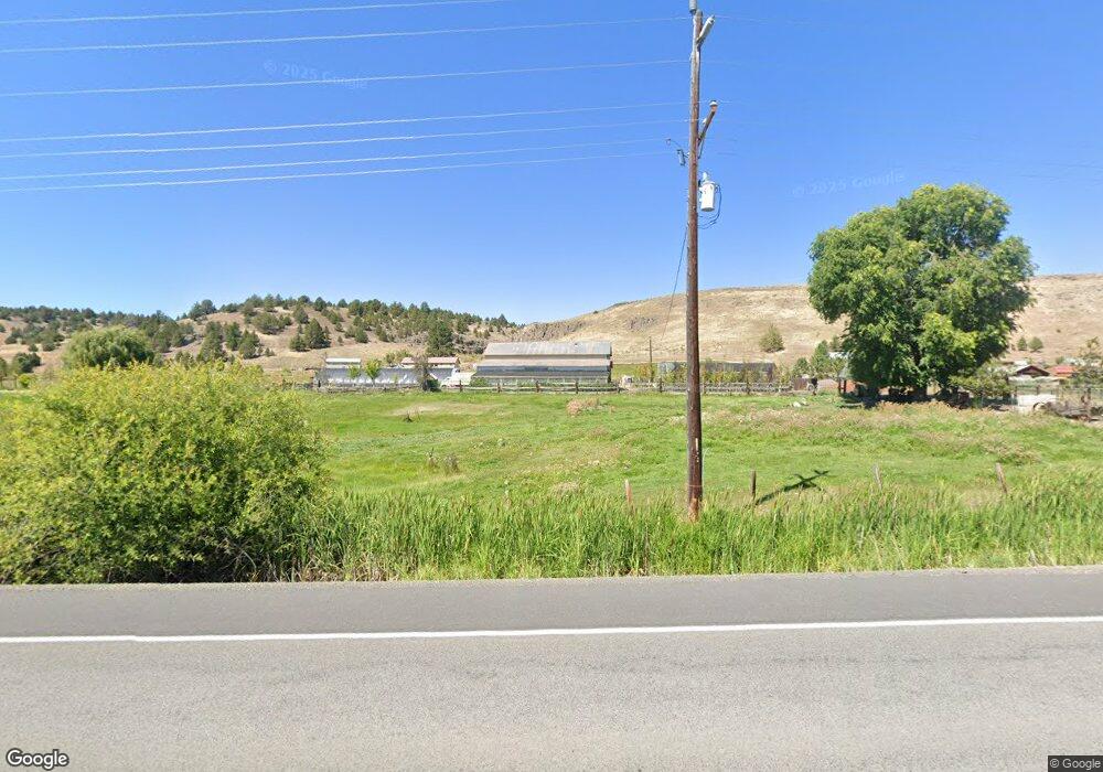
65153 Highway 26 John Day, OR 97845
Estimated Value: $462,000 - $587,000
--
Bed
--
Bath
2,002
Sq Ft
$259/Sq Ft
Est. Value
About This Home
This home is located at 65153 Highway 26, John Day, OR 97845 and is currently estimated at $517,814, approximately $258 per square foot. 65153 Highway 26 is a home located in Grant County with nearby schools including Prairie City School and Virtual Preparatory Academy of Oregon.
Ownership History
Date
Name
Owned For
Owner Type
Purchase Details
Closed on
Dec 29, 2008
Sold by
Moody David and Moody Maxine
Bought by
Justice Ken and Justice Julia
Current Estimated Value
Home Financials for this Owner
Home Financials are based on the most recent Mortgage that was taken out on this home.
Original Mortgage
$200,000
Outstanding Balance
$130,960
Interest Rate
6.03%
Mortgage Type
Purchase Money Mortgage
Estimated Equity
$386,854
Create a Home Valuation Report for This Property
The Home Valuation Report is an in-depth analysis detailing your home's value as well as a comparison with similar homes in the area
Home Values in the Area
Average Home Value in this Area
Purchase History
| Date | Buyer | Sale Price | Title Company |
|---|---|---|---|
| Justice Ken | $200,000 | None Available | |
| Justice Ken | $200,000 | None Available |
Source: Public Records
Mortgage History
| Date | Status | Borrower | Loan Amount |
|---|---|---|---|
| Open | Justice Ken | $200,000 | |
| Closed | Justice Ken | $200,000 |
Source: Public Records
Tax History Compared to Growth
Tax History
| Year | Tax Paid | Tax Assessment Tax Assessment Total Assessment is a certain percentage of the fair market value that is determined by local assessors to be the total taxable value of land and additions on the property. | Land | Improvement |
|---|---|---|---|---|
| 2024 | $3,651 | $302,156 | $106,914 | $195,242 |
| 2023 | $3,545 | $293,356 | $90,293 | $203,063 |
| 2022 | $3,441 | $284,812 | $87,663 | $197,149 |
| 2021 | $3,341 | $276,517 | $85,111 | $191,406 |
| 2020 | $3,560 | $268,464 | $82,631 | $185,833 |
| 2019 | $3,458 | $260,645 | $80,224 | $180,421 |
| 2018 | $3,353 | $253,054 | $77,891 | $175,163 |
| 2017 | $3,266 | $245,684 | $75,621 | $170,063 |
| 2016 | $3,173 | $238,529 | $55,616 | $182,913 |
| 2015 | $3,124 | $224,837 | $52,423 | $172,414 |
| 2014 | $3,124 | $224,837 | $52,423 | $172,414 |
| 2013 | $2,903 | $218,289 | $49,691 | $168,598 |
Source: Public Records
Map
Nearby Homes
- 138 W 12th St
- 142 Front St
- 26272 Pine Creek Rd
- 0 N Washington St
- 0 Washington St Unit 24278630
- 520 John Day Hwy
- 25361 Baldy Mountain Rd
- 25422 Baldy Mountain Rd
- 0 N Fork 40 Unit 21
- 858 E Main St
- 798 E Main St
- 748 E Main St
- 600 SE 2nd Ave
- 520 SE Hillcrest Rd
- 100 SE Hillcrest Rd
- 0 NE 7th St
- 60625 Three Point Rd
- 801 Ferguson Rd
- 250 NE Dayton St
- 304 SE Hillcrest Dr