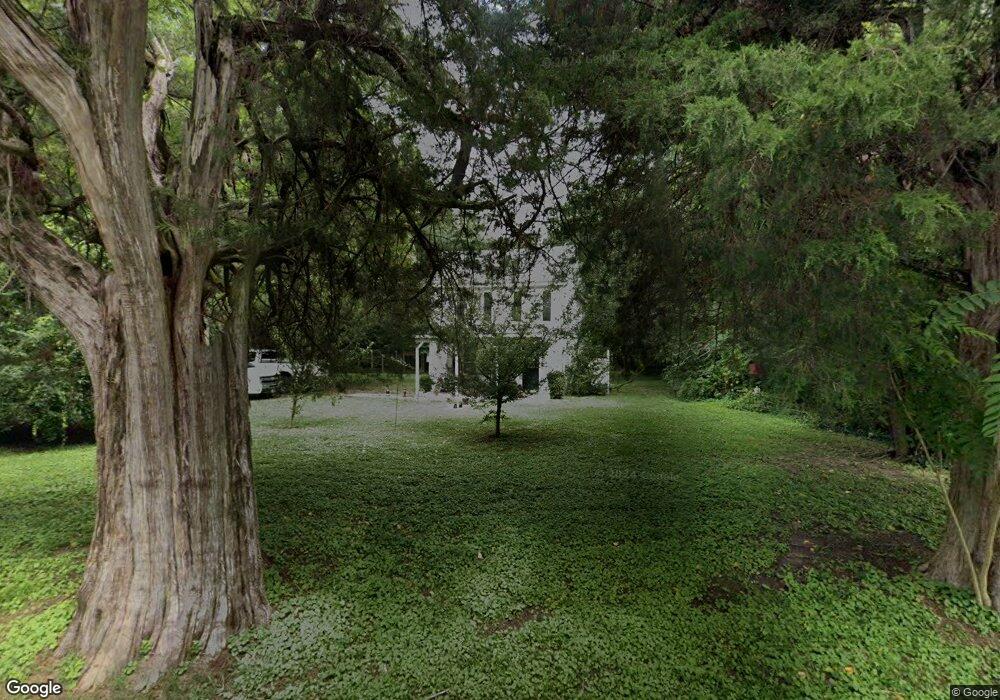
6516 Ark Rd Gloucester, VA 23061
Estimated Value: $287,051 - $318,000
3
Beds
2
Baths
1,289
Sq Ft
$240/Sq Ft
Est. Value
About This Home
This home is located at 6516 Ark Rd, Gloucester, VA 23061 and is currently estimated at $308,763, approximately $239 per square foot. 6516 Ark Rd is a home located in Gloucester County with nearby schools including Bethel Elementary School, Peasley Middle School, and Gloucester High School.
Ownership History
Date
Name
Owned For
Owner Type
Purchase Details
Closed on
Feb 13, 2024
Sold by
Bauer Timothy A and Bauer Marion S
Bought by
Weiland Raymond and Weiland Diana
Current Estimated Value
Purchase Details
Closed on
Jun 20, 2016
Sold by
Thombar Land Co A Virginia Corporation
Bought by
Arms Michael A and Arms Sara L
Home Financials for this Owner
Home Financials are based on the most recent Mortgage that was taken out on this home.
Original Mortgage
$190,128
Interest Rate
3.58%
Mortgage Type
New Conventional
Create a Home Valuation Report for This Property
The Home Valuation Report is an in-depth analysis detailing your home's value as well as a comparison with similar homes in the area
Home Values in the Area
Average Home Value in this Area
Purchase History
| Date | Buyer | Sale Price | Title Company |
|---|---|---|---|
| Weiland Raymond | $595,000 | First American Title | |
| Arms Michael A | $184,900 | Blue Heron Title Company Llc |
Source: Public Records
Mortgage History
| Date | Status | Borrower | Loan Amount |
|---|---|---|---|
| Previous Owner | Arms Michael A | $190,128 |
Source: Public Records
Tax History
| Year | Tax Paid | Tax Assessment Tax Assessment Total Assessment is a certain percentage of the fair market value that is determined by local assessors to be the total taxable value of land and additions on the property. | Land | Improvement |
|---|---|---|---|---|
| 2025 | $1,157 | $188,360 | $72,700 | $115,660 |
| 2024 | $1,157 | $188,360 | $72,700 | $115,660 |
| 2023 | $1,098 | $188,360 | $72,700 | $115,660 |
| 2022 | $1,383 | $190,790 | $82,130 | $108,660 |
| 2021 | $1,326 | $190,790 | $82,130 | $108,660 |
| 2020 | $1,326 | $190,790 | $82,130 | $108,660 |
| 2019 | $1,234 | $177,610 | $79,840 | $97,770 |
| 2017 | $1,234 | $177,610 | $79,840 | $97,770 |
| 2016 | $1,027 | $147,780 | $63,880 | $83,900 |
| 2015 | $1,005 | $131,600 | $68,000 | $63,600 |
| 2014 | $855 | $131,600 | $68,000 | $63,600 |
Source: Public Records
Map
Nearby Homes
- 00 Olivis Rd
- 3346 Hickory Fork Rd
- 6386 Sterling Ct
- .95AC Cowpen Neck Rd
- 6493 Walter Reed Dr
- 6381 Bolling Brook Ln
- 4783 Stephens Way
- Lot 3 Stephens Way
- 4805 Stephens Way
- 3746 Enos Rd
- 3327 Pine Grove Rd
- 4152 Hickory Fork Rd
- 8029 Pinetta Rd
- 6663 Hickory Fork Rd
- 4404 Hickory Fork Rd
- 00 Island Rd
- 5403 Jonquil Ln
- 8598 Poplar Springs Dr
- LOT 80 Poplar Springs Dr
- 7056 Hunters Pointe Dr
Your Personal Tour Guide
Ask me questions while you tour the home.