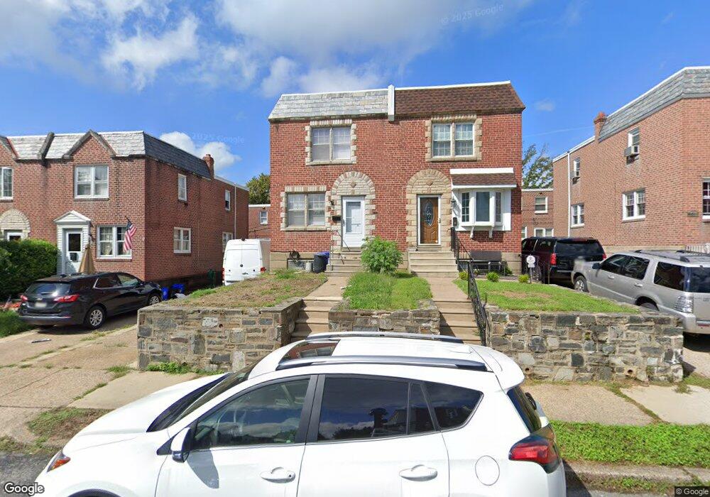
6516 Hasbrook Ave Philadelphia, PA 19111
Lawncrest NeighborhoodEstimated Value: $263,054 - $275,000
--
Bed
--
Bath
1,188
Sq Ft
$225/Sq Ft
Est. Value
About This Home
This home is located at 6516 Hasbrook Ave, Philadelphia, PA 19111 and is currently estimated at $267,764, approximately $225 per square foot. 6516 Hasbrook Ave is a home located in Philadelphia County with nearby schools including J. Hampton Moore School, Castor Gardens Middle School, and Northeast High School.
Ownership History
Date
Name
Owned For
Owner Type
Purchase Details
Closed on
Aug 2, 2004
Sold by
Fischer Hannelore and Estate Of Hildegard Waszczuk
Bought by
Trinh Nhan T
Current Estimated Value
Home Financials for this Owner
Home Financials are based on the most recent Mortgage that was taken out on this home.
Original Mortgage
$112,900
Outstanding Balance
$56,097
Interest Rate
6.03%
Mortgage Type
Purchase Money Mortgage
Estimated Equity
$211,667
Create a Home Valuation Report for This Property
The Home Valuation Report is an in-depth analysis detailing your home's value as well as a comparison with similar homes in the area
Home Values in the Area
Average Home Value in this Area
Purchase History
| Date | Buyer | Sale Price | Title Company |
|---|---|---|---|
| Trinh Nhan T | $112,900 | -- |
Source: Public Records
Mortgage History
| Date | Status | Borrower | Loan Amount |
|---|---|---|---|
| Open | Trinh Nhan T | $112,900 |
Source: Public Records
Tax History Compared to Growth
Tax History
| Year | Tax Paid | Tax Assessment Tax Assessment Total Assessment is a certain percentage of the fair market value that is determined by local assessors to be the total taxable value of land and additions on the property. | Land | Improvement |
|---|---|---|---|---|
| 2025 | $2,528 | $219,100 | $43,820 | $175,280 |
| 2024 | $2,528 | $219,100 | $43,820 | $175,280 |
| 2023 | $2,528 | $180,600 | $36,120 | $144,480 |
| 2022 | $1,886 | $180,600 | $36,120 | $144,480 |
| 2021 | $1,886 | $0 | $0 | $0 |
| 2020 | $1,886 | $0 | $0 | $0 |
| 2019 | $1,810 | $0 | $0 | $0 |
| 2018 | $1,827 | $0 | $0 | $0 |
| 2017 | $1,827 | $0 | $0 | $0 |
| 2016 | $1,827 | $0 | $0 | $0 |
| 2015 | $1,749 | $0 | $0 | $0 |
| 2014 | -- | $130,500 | $27,080 | $103,420 |
| 2012 | -- | $18,688 | $2,687 | $16,001 |
Source: Public Records
Map
Nearby Homes
- 300 Gilham St
- 223 Levick St
- 335 Passmore St
- 6334 Hasbrook Ave
- 330 Magee Ave
- 6324 Shelbourne St
- 325 Magee Ave
- 6422 Argyle St
- 351 Magee Ave
- 6226 Hasbrook Ave
- 6245 Oakley St
- 6237 Oakley St
- 6162 Hasbrook Ave
- 6308 Rising Sun Ave
- 6704-6708 Martins Rd
- 6143 Reach St
- 354 Devereaux Ave
- 528 Magee Ave
- 6424 Bingham St
- 542-48 Magee Ave
- 6514 Hasbrook Ave
- 6518 Hasbrook Ave
- 6512 Hasbrook Ave
- 6520 Hasbrook Ave
- 6517 Newtown Ave
- 6519 Newtown Ave
- 6522 Hasbrook Ave
- 6510 Hasbrook Ave
- 6515 Newtown Ave
- 6521 Newtown Ave
- 6513 Newtown Ave
- 6523 Newtown Ave
- 6524 Hasbrook Ave
- 6508 Hasbrook Ave
- 6511 Newtown Ave
- 301 Hellerman St
- 6526 Hasbrook Ave
- 6506 Hasbrook Ave
- 6509 Newtown Ave
- 300 Hellerman St