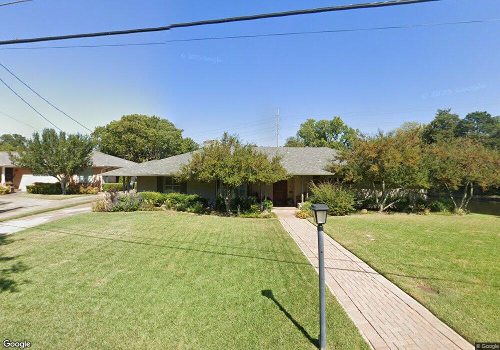
6517 Lange Cir Dallas, TX 75214
Northeast Dallas NeighborhoodEstimated Value: $1,041,000 - $1,256,836
3
Beds
2
Baths
2,524
Sq Ft
$448/Sq Ft
Est. Value
About This Home
This home is located at 6517 Lange Cir, Dallas, TX 75214 and is currently estimated at $1,131,709, approximately $448 per square foot. 6517 Lange Cir is a home located in Dallas County with nearby schools including Lakewood Elementary School, J L Long Middle School, and Woodrow Wilson High School.
Ownership History
Date
Name
Owned For
Owner Type
Purchase Details
Closed on
Sep 6, 1996
Sold by
Xuereb Michael M and Xuereb Mary
Bought by
Atwell David and Atwell Katherine
Current Estimated Value
Home Financials for this Owner
Home Financials are based on the most recent Mortgage that was taken out on this home.
Original Mortgage
$173,825
Interest Rate
8.24%
Mortgage Type
Seller Take Back
Purchase Details
Closed on
Dec 22, 1994
Sold by
Dobbs Lilah Sherman
Bought by
Xuereb Michael and Xuereb Mary
Create a Home Valuation Report for This Property
The Home Valuation Report is an in-depth analysis detailing your home's value as well as a comparison with similar homes in the area
Home Values in the Area
Average Home Value in this Area
Purchase History
| Date | Buyer | Sale Price | Title Company |
|---|---|---|---|
| Atwell David | -- | -- | |
| Xuereb Michael | -- | -- |
Source: Public Records
Mortgage History
| Date | Status | Borrower | Loan Amount |
|---|---|---|---|
| Closed | Atwell David | $173,825 |
Source: Public Records
Tax History Compared to Growth
Tax History
| Year | Tax Paid | Tax Assessment Tax Assessment Total Assessment is a certain percentage of the fair market value that is determined by local assessors to be the total taxable value of land and additions on the property. | Land | Improvement |
|---|---|---|---|---|
| 2025 | $12,251 | $1,443,000 | $1,007,410 | $435,590 |
| 2024 | $12,251 | $1,151,770 | $852,420 | $299,350 |
| 2023 | $12,251 | $1,074,240 | $852,420 | $221,820 |
| 2022 | $26,860 | $1,074,240 | $852,420 | $221,820 |
| 2021 | $20,155 | $764,010 | $568,280 | $195,730 |
| 2020 | $20,727 | $764,010 | $568,280 | $195,730 |
| 2019 | $21,738 | $764,010 | $568,280 | $195,730 |
| 2018 | $16,587 | $610,000 | $340,970 | $269,030 |
| 2017 | $16,350 | $601,270 | $340,970 | $260,300 |
| 2016 | $16,350 | $601,270 | $340,970 | $260,300 |
| 2015 | $10,549 | $462,470 | $170,490 | $291,980 |
| 2014 | $10,549 | $462,470 | $170,490 | $291,980 |
Source: Public Records
Map
Nearby Homes
- 6446 Lange Cir
- 6474 Sudbury Dr
- 6537 Patrick Dr
- 6529 Saint Moritz Ave
- 6459 Trammel Dr
- 4323 Ashford Dr
- 6529 Trammel Dr
- 6314 Woodcrest Ln
- 6720 Braeburn Dr
- 6415 Axton Ln
- 6612 E Mockingbird Ln
- 6269 Saratoga Cir
- 6711 Vada Dr
- 6746 Braeburn Dr
- 6527 Axton Cir
- 6802 Vada Dr
- 6305 Annapolis Ln
- 6231 Berwyn Ln
- 6757 Lakefair Cir
- 6804 Santa Maria Ln
- 6509 Lange Cir
- 6503 Lange Cir
- 6510 Lange Cir
- 6527 Lange Cir
- 6516 Lange Cir
- 6463 Lange Cir
- 6533 Lange Cir
- 6458 Lange Cir
- 6457 Lange Cir
- 4563 Ashford Dr
- 4557 Ashford Dr
- 4569 Ashford Dr
- 6456 Patrick Dr
- 4551 Ashford Dr
- 6539 Lange Cir
- 4575 Ashford Dr
- 6451 Lange Cir
- 6452 Lange Cir
- 4545 Ashford Dr
- 6538 Lange Cir