6517 Rip Rd Flowery Branch, GA 30542
Estimated Value: $435,000 - $755,000
2
Beds
1
Bath
1,344
Sq Ft
$448/Sq Ft
Est. Value
About This Home
This home is located at 6517 Rip Rd, Flowery Branch, GA 30542 and is currently estimated at $601,496, approximately $447 per square foot. 6517 Rip Rd is a home located in Hall County with nearby schools including Flowery Branch Elementary School, West Hall Middle School, and West Hall High School.
Ownership History
Date
Name
Owned For
Owner Type
Purchase Details
Closed on
Aug 23, 2004
Sold by
Williams Craig J
Bought by
Williams Craig J and Williams Deborah L
Current Estimated Value
Create a Home Valuation Report for This Property
The Home Valuation Report is an in-depth analysis detailing your home's value as well as a comparison with similar homes in the area
Home Values in the Area
Average Home Value in this Area
Purchase History
| Date | Buyer | Sale Price | Title Company |
|---|---|---|---|
| Williams Craig J | -- | -- |
Source: Public Records
Tax History Compared to Growth
Tax History
| Year | Tax Paid | Tax Assessment Tax Assessment Total Assessment is a certain percentage of the fair market value that is determined by local assessors to be the total taxable value of land and additions on the property. | Land | Improvement |
|---|---|---|---|---|
| 2024 | $4,685 | $188,792 | $86,000 | $102,792 |
| 2023 | $4,155 | $183,152 | $72,440 | $110,712 |
| 2022 | $3,984 | $153,912 | $72,440 | $81,472 |
| 2021 | $3,616 | $135,112 | $56,560 | $78,552 |
| 2020 | $3,644 | $132,232 | $56,560 | $75,672 |
| 2019 | $3,566 | $128,152 | $56,560 | $71,592 |
| 2018 | $3,243 | $112,552 | $48,120 | $64,432 |
| 2017 | $3,109 | $108,952 | $48,120 | $60,832 |
| 2016 | $2,889 | $103,592 | $42,760 | $60,832 |
| 2015 | $2,912 | $103,592 | $42,760 | $60,832 |
| 2014 | $2,912 | $103,592 | $42,760 | $60,832 |
Source: Public Records
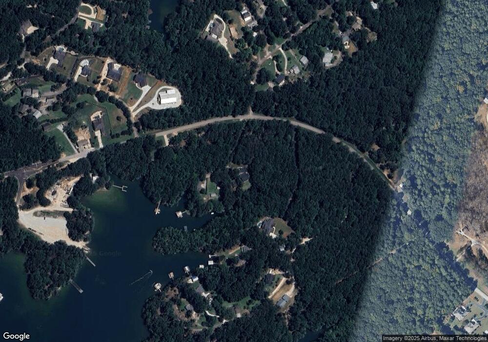
Map
Nearby Homes
- 6516 Rip Rd
- 6518 Rip Rd
- 6440 Ford Rd
- 6520 Rip Rd
- 6442 Ford Rd
- 6515 Lights Ferry Rd
- 6446 Ford Rd
- 6527 Lights Ferry Rd
- 6400 Lights Ferry Rd
- 6510 Lights Ferry Rd
- 6458 Ford Rd
- 6512 Cox Dr
- 6516 Cox Dr
- 6568 Lights Ferry Rd
- 6484 Ford Rd
- 6449 Ford Rd
- 6530 Crestwood Peninsula
- 6518 Cox Dr
- 6476 Ford Rd
- 6540 Crestwood Peninsula