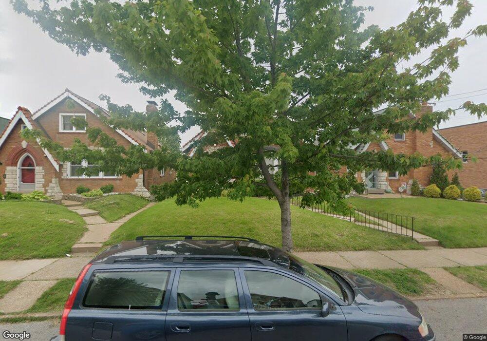
6519 Winnebago St Saint Louis, MO 63109
Lindenwood Park NeighborhoodEstimated Value: $243,467 - $302,000
--
Bed
1
Bath
2,184
Sq Ft
$127/Sq Ft
Est. Value
About This Home
This home is located at 6519 Winnebago St, Saint Louis, MO 63109 and is currently estimated at $276,867, approximately $126 per square foot. 6519 Winnebago St is a home located in St. Louis City with nearby schools including Mason Elementary School, Long International Middle School, and Roosevelt High School.
Ownership History
Date
Name
Owned For
Owner Type
Purchase Details
Closed on
Jan 9, 2002
Sold by
Bank Of America Na
Bought by
Maris Katherine A
Current Estimated Value
Home Financials for this Owner
Home Financials are based on the most recent Mortgage that was taken out on this home.
Original Mortgage
$91,400
Interest Rate
7.01%
Mortgage Type
Purchase Money Mortgage
Create a Home Valuation Report for This Property
The Home Valuation Report is an in-depth analysis detailing your home's value as well as a comparison with similar homes in the area
Home Values in the Area
Average Home Value in this Area
Purchase History
| Date | Buyer | Sale Price | Title Company |
|---|---|---|---|
| Maris Katherine A | -- | Capital Title |
Source: Public Records
Mortgage History
| Date | Status | Borrower | Loan Amount |
|---|---|---|---|
| Previous Owner | Maris Katherine A | $91,400 |
Source: Public Records
Tax History Compared to Growth
Tax History
| Year | Tax Paid | Tax Assessment Tax Assessment Total Assessment is a certain percentage of the fair market value that is determined by local assessors to be the total taxable value of land and additions on the property. | Land | Improvement |
|---|---|---|---|---|
| 2025 | $2,380 | $33,200 | $3,330 | $29,870 |
| 2024 | $2,274 | $28,220 | $3,330 | $24,890 |
| 2023 | $2,274 | $28,220 | $3,330 | $24,890 |
| 2022 | $2,174 | $25,960 | $3,330 | $22,630 |
| 2021 | $2,171 | $25,960 | $3,330 | $22,630 |
| 2020 | $2,143 | $25,820 | $3,330 | $22,490 |
| 2019 | $2,135 | $25,820 | $3,330 | $22,490 |
| 2018 | $2,460 | $28,880 | $3,000 | $25,880 |
| 2017 | $2,418 | $28,880 | $3,000 | $25,880 |
| 2016 | $2,210 | $26,030 | $3,000 | $23,030 |
| 2015 | $2,004 | $26,030 | $3,000 | $23,030 |
| 2014 | $1,906 | $26,030 | $3,000 | $23,030 |
| 2013 | -- | $24,760 | $3,000 | $21,760 |
Source: Public Records
Map
Nearby Homes
- 6561 Mardel Ave
- 6561 Bancroft Ave
- 6517 Tholozan Ave
- 6439 Mardel Ave
- 6646 Mardel Ave
- 3807 Tamm Ave
- 6409 Sutherland Ave
- 3905 Tamm Ave
- 6621 Tholozan Ave
- 6611 Pernod Ave
- 6562 Oleatha Ave
- 6659 Tholozan Ave
- 6631 Pernod Ave
- 6656 Oleatha Ave
- 6709 Lansdowne Ave
- 6600 Devonshire Ave Unit 5
- 6639 Marquette Ave
- 6637 Devonshire Ave Unit 2
- 6214 Oleatha Ave
- 6927-6931 Sutherland Ave
- 6523 Winnebago St
- 6515 Winnebago St
- 6527 Winnebago St
- 6529 Winnebago St
- 6520 Lindenwood Place
- 6533 Winnebago St
- 6524 Lindenwood Place
- 6516 Lindenwood Place
- 6528 Lindenwood Place
- 6532 Lindenwood Place
- 6516 Winnebago St
- 6522 Winnebago St
- 6534 Lindenwood Place
- 6524 Winnebago St
- 6528 Winnebago St
- 6538 Winnebago St
- 6538 Lindenwood Place
- 6532 Winnebago St
- 6545 Winnebago St
- 6542 Lindenwood Place