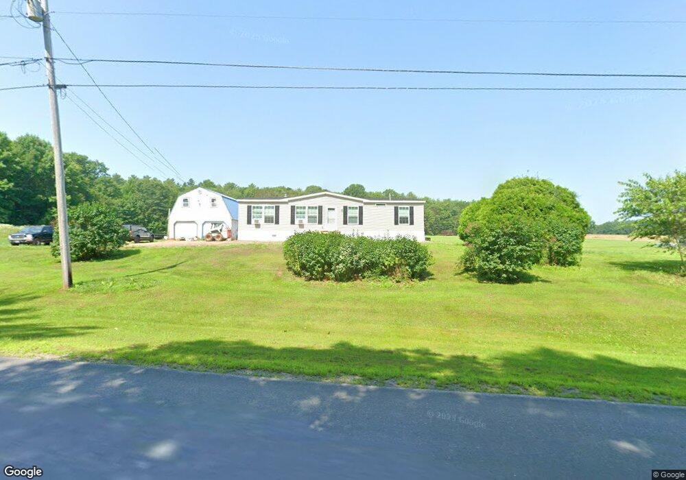
652 Cross Hill Rd Vassalboro, ME 04989
Estimated Value: $131,031 - $365,000
--
Bed
--
Bath
--
Sq Ft
6
Acres
About This Home
This home is located at 652 Cross Hill Rd, Vassalboro, ME 04989 and is currently estimated at $238,008. 652 Cross Hill Rd is a home with nearby schools including Vassalboro Community School.
Ownership History
Date
Name
Owned For
Owner Type
Purchase Details
Closed on
Jun 12, 2025
Sold by
Pare Maurice E
Bought by
Pare Maurice E and Pare Sarah A
Current Estimated Value
Home Financials for this Owner
Home Financials are based on the most recent Mortgage that was taken out on this home.
Original Mortgage
$180,000
Outstanding Balance
$179,533
Interest Rate
6.76%
Mortgage Type
Purchase Money Mortgage
Estimated Equity
$58,475
Purchase Details
Closed on
Mar 14, 2016
Sold by
Alphonse J Pare Ft
Bought by
Pare Maurice
Create a Home Valuation Report for This Property
The Home Valuation Report is an in-depth analysis detailing your home's value as well as a comparison with similar homes in the area
Home Values in the Area
Average Home Value in this Area
Purchase History
| Date | Buyer | Sale Price | Title Company |
|---|---|---|---|
| Pare Maurice E | -- | None Available | |
| Pare Maurice E | -- | None Available | |
| Pare Maurice | -- | -- | |
| Pare Maurice | -- | -- |
Source: Public Records
Mortgage History
| Date | Status | Borrower | Loan Amount |
|---|---|---|---|
| Open | Pare Maurice E | $180,000 | |
| Closed | Pare Maurice E | $180,000 |
Source: Public Records
Tax History Compared to Growth
Tax History
| Year | Tax Paid | Tax Assessment Tax Assessment Total Assessment is a certain percentage of the fair market value that is determined by local assessors to be the total taxable value of land and additions on the property. | Land | Improvement |
|---|---|---|---|---|
| 2024 | $1,332 | $99,900 | $55,100 | $44,800 |
| 2023 | $1,271 | $99,900 | $55,100 | $44,800 |
| 2022 | $1,200 | $83,300 | $45,900 | $37,400 |
| 2021 | $1,206 | $83,300 | $45,900 | $37,400 |
| 2020 | $1,195 | $83,300 | $45,900 | $37,400 |
| 2019 | $1,753 | $75,000 | $41,300 | $33,700 |
| 2018 | $2,555 | $75,000 | $41,300 | $33,700 |
| 2017 | $267 | $75,400 | $41,300 | $34,100 |
| 2016 | $1,059 | $75,400 | $41,300 | $34,100 |
| 2015 | $1,032 | $75,300 | $41,200 | $34,100 |
| 2014 | $964 | $75,300 | $41,200 | $34,100 |
| 2013 | $936 | $83,600 | $45,800 | $37,800 |
Source: Public Records
Map
Nearby Homes
- 28 Anderson Ln
- 29 Mudget Hill Rd
- 1650 N Belfast Ave
- 332 Stone Rd
- 36 Lees Ct
- 1023 Cross Hill Rd
- Lot 99 Cross Hill Rd
- 492 Webber Pond Rd
- 930 Church Hill Rd
- 320 Webber Pond Rd
- 546 Webber Pond Rd
- 48 Pleasant Point Rd
- 51 Pit Rd
- 31 Lees Ct
- 175 Buck N Doe Trail
- 4 Lees Ct
- 19 King Rd
- 14 King Rd
- 146 Lone Indian Trail
- 102 Park Ln
- 700 Cross Hill Rd
- 653 Cross Hill Rd
- 662 Cross Hill Rd
- 620 Cross Hill Rd
- 663 Cross Hill Rd
- 671 Cross Hill Rd
- 674 Cross Hill Rd
- 639 Cross Hill Rd
- 691 Cross Hill Rd
- 629 Cross Hill Rd
- 610 Crosshill Rd
- 728 Cross Hill Rd
- 718 Cross Hill Rd
- 559 Cross Hill Rd
- 560 Cross Hill Rd
- 735 Cross Hill Rd
- 553 Cross Hill Rd
- 744 Cross Hill Rd
- 30 Glidden Ln
- 58 Glidden Ln