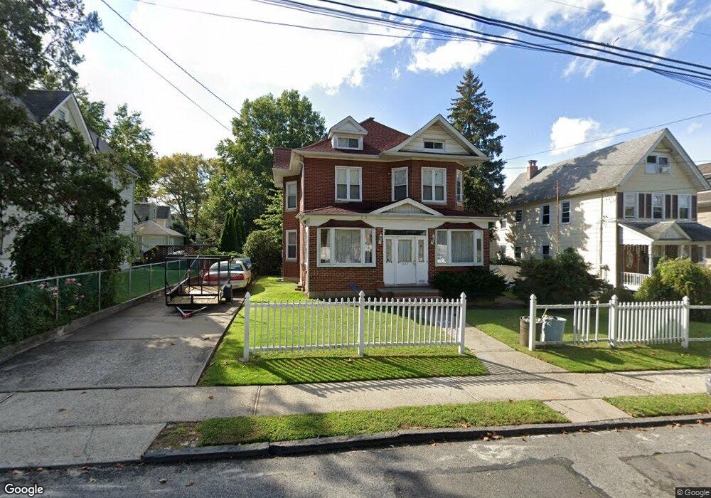
652 Delafield Ave Staten Island, NY 10310
West Brighton NeighborhoodEstimated Value: $764,000 - $832,000
--
Bed
4
Baths
2,130
Sq Ft
$371/Sq Ft
Est. Value
About This Home
This home is located at 652 Delafield Ave, Staten Island, NY 10310 and is currently estimated at $789,858, approximately $370 per square foot. 652 Delafield Ave is a home located in Richmond County with nearby schools including P.S. 19 The Curtis School, Intermediate School 27, and Susan E Wagner High School.
Ownership History
Date
Name
Owned For
Owner Type
Purchase Details
Closed on
May 17, 1996
Sold by
Bittel John and Johnson Claire
Bought by
Sweeney Edward and Sweeney Anne
Current Estimated Value
Home Financials for this Owner
Home Financials are based on the most recent Mortgage that was taken out on this home.
Original Mortgage
$160,000
Outstanding Balance
$9,025
Interest Rate
7.89%
Estimated Equity
$780,833
Create a Home Valuation Report for This Property
The Home Valuation Report is an in-depth analysis detailing your home's value as well as a comparison with similar homes in the area
Home Values in the Area
Average Home Value in this Area
Purchase History
| Date | Buyer | Sale Price | Title Company |
|---|---|---|---|
| Sweeney Edward | $200,000 | Commonwealth Land Title Ins |
Source: Public Records
Mortgage History
| Date | Status | Borrower | Loan Amount |
|---|---|---|---|
| Open | Sweeney Edward | $160,000 |
Source: Public Records
Tax History Compared to Growth
Tax History
| Year | Tax Paid | Tax Assessment Tax Assessment Total Assessment is a certain percentage of the fair market value that is determined by local assessors to be the total taxable value of land and additions on the property. | Land | Improvement |
|---|---|---|---|---|
| 2025 | $7,412 | $45,240 | $17,882 | $27,358 |
| 2024 | $7,424 | $42,540 | $19,017 | $23,523 |
| 2023 | $7,202 | $36,864 | $17,302 | $19,562 |
| 2022 | $6,696 | $36,600 | $21,120 | $15,480 |
| 2021 | $6,642 | $33,000 | $21,120 | $11,880 |
| 2020 | $6,461 | $31,920 | $21,120 | $10,800 |
| 2019 | $6,384 | $31,920 | $21,120 | $10,800 |
| 2018 | $5,965 | $30,720 | $21,120 | $9,600 |
| 2017 | $5,855 | $30,190 | $21,085 | $9,105 |
| 2016 | $5,689 | $30,007 | $19,892 | $10,115 |
| 2015 | $5,001 | $28,310 | $17,463 | $10,847 |
| 2014 | $5,001 | $27,648 | $16,299 | $11,349 |
Source: Public Records
Map
Nearby Homes
- 646 Delafield Ave
- 662 Delafield Ave
- 642 Delafield Ave
- 172 Elizabeth St
- 174 Elizabeth St
- 668 Delafield Ave
- 239 Myrtle Ave
- 243 Myrtle Ave
- 178 Elizabeth St
- 255 Myrtle Ave
- 251 Myrtle Ave
- 154 Elizabeth St
- 674 Delafield Ave
- 661 Delafield Ave
- 647 Delafield Ave
- 259 Myrtle Ave
- 180 Elizabeth St
- 150 Elizabeth St
- 150 Elizabeth St
- 150 Elizabeth St