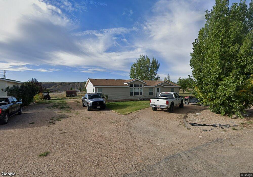
652 E 300 N Duchesne, UT 84021
Estimated Value: $315,000 - $373,000
3
Beds
2
Baths
1,816
Sq Ft
$190/Sq Ft
Est. Value
About This Home
This home is located at 652 E 300 N, Duchesne, UT 84021 and is currently estimated at $345,800, approximately $190 per square foot. 652 E 300 N is a home located in Duchesne County with nearby schools including Duchesne School, Duchesne High School, and Second Nature Wilderness Family Therapy.
Ownership History
Date
Name
Owned For
Owner Type
Purchase Details
Closed on
Mar 10, 2022
Sold by
Grant Chance R and Grant Ashley M
Bought by
Gull Emmy L
Current Estimated Value
Home Financials for this Owner
Home Financials are based on the most recent Mortgage that was taken out on this home.
Original Mortgage
$284,747
Outstanding Balance
$266,323
Interest Rate
4.17%
Mortgage Type
Construction
Estimated Equity
$79,477
Create a Home Valuation Report for This Property
The Home Valuation Report is an in-depth analysis detailing your home's value as well as a comparison with similar homes in the area
Purchase History
| Date | Buyer | Sale Price | Title Company |
|---|---|---|---|
| Gull Emmy L | $287,594 | Express Title Ins Agcy Inc |
Source: Public Records
Mortgage History
| Date | Status | Borrower | Loan Amount |
|---|---|---|---|
| Open | Gull Emmy L | $284,747 | |
| Closed | Gull Emmy L | $11,500 |
Source: Public Records
Tax History
| Year | Tax Paid | Tax Assessment Tax Assessment Total Assessment is a certain percentage of the fair market value that is determined by local assessors to be the total taxable value of land and additions on the property. | Land | Improvement |
|---|---|---|---|---|
| 2025 | $1,748 | $278,792 | $40,662 | $238,130 |
| 2024 | $1,732 | $278,702 | $40,572 | $238,130 |
| 2023 | $1,732 | $269,895 | $31,765 | $238,130 |
| 2022 | $1,462 | $206,965 | $30,150 | $176,815 |
| 2021 | $1,135 | $139,667 | $23,500 | $116,167 |
| 2020 | $1,095 | $136,970 | $20,382 | $116,588 |
| 2019 | $1,093 | $136,970 | $20,382 | $116,588 |
| 2018 | $1,053 | $128,710 | $20,382 | $108,328 |
| 2017 | $1,001 | $0 | $0 | $0 |
| 2016 | $986 | $0 | $0 | $0 |
| 2015 | $1,316 | $0 | $0 | $0 |
| 2014 | $1,293 | $181,711 | $9,500 | $172,211 |
| 2013 | $1,178 | $158,600 | $9,500 | $149,100 |
Source: Public Records
Map
Nearby Homes
- 154 E 200 N
- 213 E 100 St S
- 313 E 800 N
- 933 N Workman Dr
- 325 E 400 St S Unit 2
- 360 E 400 St S
- 340 E 400 St S
- 0 Utah 87
- 310 E 400 St S Unit 1
- 685 S 700 E
- 233 W 300 North St
- 0 Tbd Unit 24811579
- 8796 River Rd
- 19961 Tosha's Trail Unit 21
- 19915 Tosha's Trail Unit 25
- 19960 Tosha's Trail Unit 6-17
- 19680 W Connies Trail Unit 44
- 18854 W Arzy Mitchell Cir
- 8021 S 19000 W
- 18989 W Fawn Cove Unit 301
Your Personal Tour Guide
Ask me questions while you tour the home.