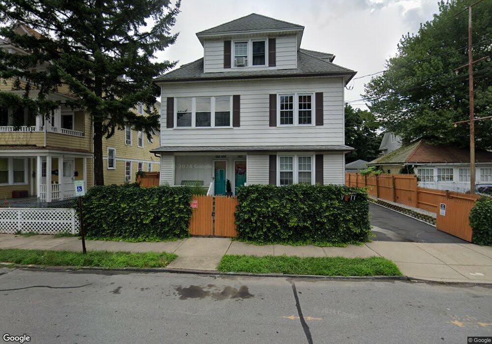
652 Ellsworth St Bridgeport, CT 06605
Black Rock NeighborhoodEstimated Value: $629,000 - $804,000
6
Beds
3
Baths
3,563
Sq Ft
$193/Sq Ft
Est. Value
About This Home
This home is located at 652 Ellsworth St, Bridgeport, CT 06605 and is currently estimated at $688,000, approximately $193 per square foot. 652 Ellsworth St is a home located in Fairfield County with nearby schools including Bassick High School, Park City Prep Charter School, and St. Ann Campus - Catholic Academy of Bridgeport.
Ownership History
Date
Name
Owned For
Owner Type
Purchase Details
Closed on
Sep 21, 2017
Sold by
Sanz Rene and Sanz Jacqueline
Bought by
Sanz Avril
Current Estimated Value
Purchase Details
Closed on
Apr 12, 2010
Sold by
Sanz Rene S and Sanz Jacqueline
Bought by
Sanz Rene S and Sanz Jacqueline
Create a Home Valuation Report for This Property
The Home Valuation Report is an in-depth analysis detailing your home's value as well as a comparison with similar homes in the area
Home Values in the Area
Average Home Value in this Area
Purchase History
| Date | Buyer | Sale Price | Title Company |
|---|---|---|---|
| Sanz Avril | -- | -- | |
| Sanz Avril | -- | -- | |
| Sanz Rene S | -- | -- | |
| Sanz Rene S | -- | -- |
Source: Public Records
Tax History Compared to Growth
Tax History
| Year | Tax Paid | Tax Assessment Tax Assessment Total Assessment is a certain percentage of the fair market value that is determined by local assessors to be the total taxable value of land and additions on the property. | Land | Improvement |
|---|---|---|---|---|
| 2025 | $11,398 | $262,320 | $109,100 | $153,220 |
| 2024 | $11,398 | $262,320 | $109,100 | $153,220 |
| 2023 | $11,398 | $262,320 | $109,100 | $153,220 |
| 2022 | $11,398 | $262,320 | $109,100 | $153,220 |
| 2021 | $11,398 | $262,320 | $109,100 | $153,220 |
| 2020 | $10,816 | $200,340 | $70,830 | $129,510 |
| 2019 | $10,816 | $200,340 | $70,830 | $129,510 |
| 2018 | $10,892 | $200,340 | $70,830 | $129,510 |
| 2017 | $10,892 | $200,340 | $70,830 | $129,510 |
| 2016 | $10,892 | $200,340 | $70,830 | $129,510 |
| 2015 | $10,131 | $240,070 | $59,510 | $180,560 |
| 2014 | $10,131 | $240,070 | $59,510 | $180,560 |
Source: Public Records
Map
Nearby Homes
- 82 Waldorf Ave
- 135 Whittier St
- 144 Whittier St
- 31 Whittier St
- 25 Whittier St
- 167 Scofield Ave
- 105 Scofield Ave
- 166 Alfred St
- 51 Princeton St
- 2773 Fairfield Ave Unit 3
- 37 Rowsley St Unit 6
- 855 Brewster St Unit 857
- 26 Rowsley St Unit 3
- 20 Haddon St Unit 5
- 222 Ellsworth St
- 118 Berwick Ave
- 130 Brentwood Ave
- 554 Brewster St Unit 4
- 145 Brentwood Ave
- 95 Bedford Ave
- 662 Ellsworth St Unit 664
- 103 Waldorf Ave
- 192 Martin Terrace Unit 196
- 97 Waldorf Ave
- 184 Martin Terrace
- 661 Ellsworth St
- 663 Ellsworth St
- 93 Waldorf Ave
- 649 Ellsworth St
- 647 Ellsworth St
- 599 Ellsworth St Unit 601
- 108 Waldorf Ave
- 593 Ellsworth St Unit 595
- 694 Ellsworth St Unit 696
- 114 Waldorf Ave
- 114 Waldorf Ave Unit 2
- 134 Waldorf Ave
- 134 Waldorf Ave Unit 3
- 83 Waldorf Ave
- 691 Ellsworth St