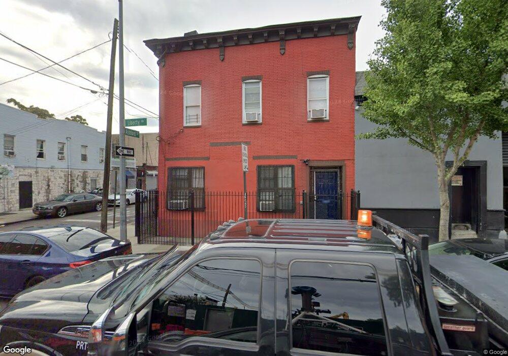
652 Liberty Ave Unit 1 Brooklyn, NY 11207
East New York NeighborhoodEstimated Value: $633,000 - $784,000
5
Beds
2
Baths
2,000
Sq Ft
$371/Sq Ft
Est. Value
About This Home
This home is located at 652 Liberty Ave Unit 1, Brooklyn, NY 11207 and is currently estimated at $741,725, approximately $370 per square foot. 652 Liberty Ave Unit 1 is a home located in Kings County with nearby schools including P.S. 158 Warwick, Liberty Avenue Middle School, and Vista Academy.
Ownership History
Date
Name
Owned For
Owner Type
Purchase Details
Closed on
Dec 6, 2019
Sold by
Enoma Charles Ernest and Ogiehor-Enoma Grace Orhue
Bought by
652 Liberty Ventures Llc
Current Estimated Value
Purchase Details
Closed on
Dec 2, 2015
Sold by
Enoma Charles E and Enoma Joy
Bought by
Enoma Charles E and Ogiehor-Enoma Grace
Purchase Details
Closed on
Mar 2, 2007
Sold by
Enoma Charles Ernest
Bought by
Enoma Charles Ernest and Enoma Joy
Create a Home Valuation Report for This Property
The Home Valuation Report is an in-depth analysis detailing your home's value as well as a comparison with similar homes in the area
Home Values in the Area
Average Home Value in this Area
Purchase History
| Date | Buyer | Sale Price | Title Company |
|---|---|---|---|
| 652 Liberty Ventures Llc | $500,000 | -- | |
| Enoma Charles E | -- | -- | |
| Enoma Charles Ernest | -- | -- | |
| Enoma Charles Ernest | -- | -- |
Source: Public Records
Mortgage History
| Date | Status | Borrower | Loan Amount |
|---|---|---|---|
| Closed | Enoma Charles Ernest | $0 |
Source: Public Records
Tax History Compared to Growth
Tax History
| Year | Tax Paid | Tax Assessment Tax Assessment Total Assessment is a certain percentage of the fair market value that is determined by local assessors to be the total taxable value of land and additions on the property. | Land | Improvement |
|---|---|---|---|---|
| 2025 | $2,669 | $41,640 | $7,740 | $33,900 |
| 2024 | $2,669 | $45,660 | $7,740 | $37,920 |
| 2023 | $2,547 | $51,480 | $7,740 | $43,740 |
| 2022 | $2,375 | $42,960 | $7,740 | $35,220 |
| 2021 | $2,362 | $37,860 | $7,740 | $30,120 |
| 2020 | $1,174 | $31,620 | $7,740 | $23,880 |
| 2019 | $2,024 | $25,140 | $7,740 | $17,400 |
| 2018 | $1,832 | $10,449 | $3,474 | $6,975 |
| 2017 | $1,721 | $9,914 | $2,867 | $7,047 |
| 2016 | $1,560 | $9,354 | $3,134 | $6,220 |
| 2015 | $908 | $9,354 | $3,577 | $5,777 |
| 2014 | $908 | $9,230 | $3,077 | $6,153 |
Source: Public Records
Map
Nearby Homes
- 253 Ashford St
- 278 Ashford St
- 288 Ashford St
- 295 Ashford St
- 599 Liberty Ave
- 597 Liberty Ave
- 400 Linwood St
- 633 Glenmore Ave
- 590 Liberty Ave
- 399 Linwood St
- 339 Elton St Unit 341
- 389 Warwick St
- 323 Barbey St
- 349 Elton St
- 221 Barbey St
- 341 Essex St
- 758 Glenmore Ave
- 2321 Pitkin Ave
- 202 Schenck Ave
- 283 Shepherd Ave
- 652 Liberty Ave
- 652 Liberty Ave Unit 2
- 652 Liberty Ave Ave
- 274 Ashford St
- 646-648 Liberty Ave
- 276 Ashford St
- 654 Liberty Ave Unit 1
- 654 Liberty Ave
- 640-642 Liberty Ave
- 656 Liberty Ave
- 282 Ashford St
- 651 Liberty Ave
- 658 Liberty Ave
- 279 Ashford St
- 647 Liberty Ave
- 284 Ashford St
- 632 Liberty Ave
- 341 Warwick St
- 341 Warwick St Unit Building
- 664 Liberty Ave