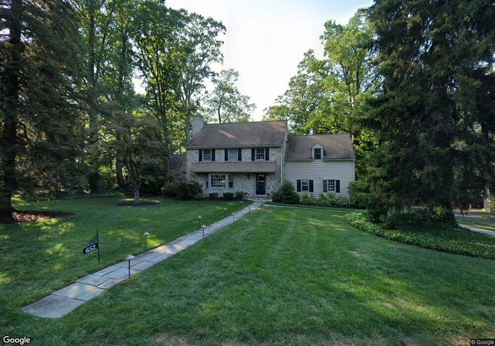
652 Mulford Rd Wyncote, PA 19095
Estimated Value: $599,000 - $750,000
4
Beds
3
Baths
2,557
Sq Ft
$258/Sq Ft
Est. Value
About This Home
This home is located at 652 Mulford Rd, Wyncote, PA 19095 and is currently estimated at $660,728, approximately $258 per square foot. 652 Mulford Rd is a home located in Montgomery County with nearby schools including Wyncote Elementary School, Elkins Park School, and Cedarbrook Middle School.
Ownership History
Date
Name
Owned For
Owner Type
Purchase Details
Closed on
Jul 3, 2007
Sold by
Abramson Jordan and Abramson Andra S
Bought by
Fishman Abby and Fishman Brian M
Current Estimated Value
Home Financials for this Owner
Home Financials are based on the most recent Mortgage that was taken out on this home.
Original Mortgage
$348,000
Outstanding Balance
$220,672
Interest Rate
6.78%
Estimated Equity
$440,056
Purchase Details
Closed on
Feb 17, 2004
Sold by
Goldstein Ira and Samost Linda
Bought by
Abramson Jordan and Serlin Andra
Home Financials for this Owner
Home Financials are based on the most recent Mortgage that was taken out on this home.
Original Mortgage
$290,000
Interest Rate
5.62%
Purchase Details
Closed on
Nov 21, 1996
Sold by
Epstein Estelle E and Gray Estelle E
Bought by
Goldstein Ira and Samost Linda
Create a Home Valuation Report for This Property
The Home Valuation Report is an in-depth analysis detailing your home's value as well as a comparison with similar homes in the area
Home Values in the Area
Average Home Value in this Area
Purchase History
| Date | Buyer | Sale Price | Title Company |
|---|---|---|---|
| Fishman Abby | $435,000 | None Available | |
| Abramson Jordan | $362,500 | -- | |
| Goldstein Ira | $233,000 | -- |
Source: Public Records
Mortgage History
| Date | Status | Borrower | Loan Amount |
|---|---|---|---|
| Open | Fishman Abby | $348,000 | |
| Previous Owner | Abramson Jordan | $290,000 |
Source: Public Records
Tax History
| Year | Tax Paid | Tax Assessment Tax Assessment Total Assessment is a certain percentage of the fair market value that is determined by local assessors to be the total taxable value of land and additions on the property. | Land | Improvement |
|---|---|---|---|---|
| 2025 | $14,358 | $214,980 | $57,420 | $157,560 |
| 2024 | $14,358 | $214,980 | $57,420 | $157,560 |
| 2023 | $14,197 | $214,980 | $57,420 | $157,560 |
| 2022 | $13,952 | $214,980 | $57,420 | $157,560 |
| 2021 | $13,570 | $214,980 | $57,420 | $157,560 |
| 2020 | $13,179 | $214,980 | $57,420 | $157,560 |
| 2019 | $12,916 | $214,980 | $57,420 | $157,560 |
Source: Public Records
Map
Nearby Homes
- 1600 Church Rd Unit A-306
- 412 Rices Mill Rd
- 416 Rices Mill Rd
- 358 Oak Rd
- 221 S Easton Rd
- 1039 Greenwood Ave
- 323 W Waverly Rd
- 2543 Gypsy Ln
- 8427 Limekiln Pike
- 8415 Limekiln Pike
- 8363 Limekiln Pike
- 1221 Church Rd
- 115 Old Cedarbrook Rd Unit 23
- 208 Limekiln Pike
- 1030 Rock Creek Dr
- 523 W Glenside Ave
- 65 Limekiln Pike
- 1621 E Gowen Ave
- 2409 Ashbourne Rd
- 1629 Murdoch Rd
- 648 Mulford Rd Unit 25
- 656 Mulford Rd
- 651 Mulford Rd
- 642 Mulford Rd
- 655 Mulford Rd
- 647 Mulford Rd
- 643 Mulford Rd
- 345 Bickley Rd
- 1520 Church Rd
- 636 Mulford Rd
- 1524 Church Rd
- 1516 Church Rd
- 333 Bickley Rd
- 1617 Church Rd
- 1617 Church Rd
- 630 Mulford Rd
- 635 Mulford Rd
- 1512 Church Rd
- 329 Bickley Rd
- 624 Mulford Rd
Your Personal Tour Guide
Ask me questions while you tour the home.