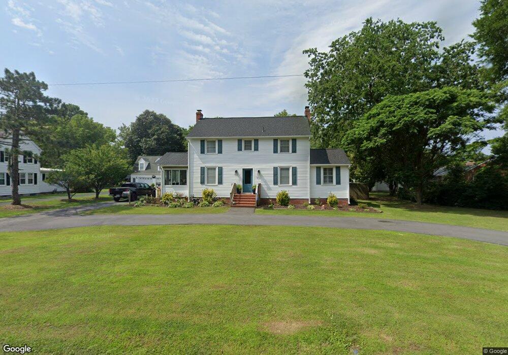
652 Poquoson Ave Poquoson, VA 23662
Poquoson West NeighborhoodEstimated Value: $328,000 - $370,000
3
Beds
2
Baths
1,792
Sq Ft
$198/Sq Ft
Est. Value
About This Home
This home is located at 652 Poquoson Ave, Poquoson, VA 23662 and is currently estimated at $354,228, approximately $197 per square foot. 652 Poquoson Ave is a home located in Poquoson City with nearby schools including Emmanuel Lutheran School, Living Word Academy, and Summit Christian Academy - Upper School.
Ownership History
Date
Name
Owned For
Owner Type
Purchase Details
Closed on
Oct 3, 2016
Sold by
Owen Mary E and Culpepper Martha E
Bought by
Beazley Mark Alan and Beazley Amber Nicole
Current Estimated Value
Home Financials for this Owner
Home Financials are based on the most recent Mortgage that was taken out on this home.
Original Mortgage
$202,352
Outstanding Balance
$162,326
Interest Rate
3.48%
Mortgage Type
New Conventional
Estimated Equity
$191,902
Create a Home Valuation Report for This Property
The Home Valuation Report is an in-depth analysis detailing your home's value as well as a comparison with similar homes in the area
Home Values in the Area
Average Home Value in this Area
Purchase History
| Date | Buyer | Sale Price | Title Company |
|---|---|---|---|
| Beazley Mark Alan | $168,000 | Attorney |
Source: Public Records
Mortgage History
| Date | Status | Borrower | Loan Amount |
|---|---|---|---|
| Open | Beazley Mark Alan | $202,352 |
Source: Public Records
Tax History Compared to Growth
Tax History
| Year | Tax Paid | Tax Assessment Tax Assessment Total Assessment is a certain percentage of the fair market value that is determined by local assessors to be the total taxable value of land and additions on the property. | Land | Improvement |
|---|---|---|---|---|
| 2024 | $3,370 | $295,600 | $110,100 | $185,500 |
| 2023 | $3,281 | $295,600 | $110,100 | $185,500 |
| 2022 | $2,982 | $263,900 | $110,100 | $153,800 |
| 2021 | $2,982 | $263,900 | $110,100 | $153,800 |
| 2020 | $0 | $248,700 | $110,100 | $138,600 |
| 2019 | -- | $248,700 | $110,100 | $138,600 |
| 2018 | -- | $241,100 | $110,100 | $131,000 |
| 2017 | -- | $229,500 | $108,000 | $121,500 |
| 2016 | -- | $229,500 | $108,000 | $121,500 |
| 2015 | -- | $229,500 | $108,000 | $121,500 |
| 2013 | -- | $229,500 | $108,000 | $121,500 |
Source: Public Records
Map
Nearby Homes
- 718C Poquoson Ave
- 63 Charles Parish Dr
- 45 Valasia Rd
- 21 Rens Rd
- 11 Valmoore Dr
- 15+AC Browns Neck Rd
- 41 W Sandy Point Rd
- 6 Lessies Dr
- 105 Rens Rd Unit 30
- 105 Rens Rd Unit 2
- 105 Rens Rd Unit 74
- 105 Rens Rd Unit Lot 48
- 28 Pasture Rd
- 8 Wornom Farm Rd
- 7 Carmines Ct
- 3 Carmines Ct
- 40 Valmoore Dr
- 1 Smith St
- 1 Phillips Rd
- 11 Dorothy Dr
- 650 Poquoson Ave
- 660 Poquoson Ave
- 657 Poquoson Ave
- 653 Poquoson Ave
- 664 Poquoson Ave
- 661 Poquoson Ave
- 1 Bannister Ct
- 2 Bannister Ct
- MM Ella W Out Frog Trail
- MM Ashlynn W Frog Dove Point Trail
- MM Dove Point Trail
- MM Kellan Dove Point Trail
- MM Kenston II Dove Point Trail
- MM Ella Dove Point Trail
- MM Clarinbridge Dove Point Trail
- 644 Poquoson Ave
- 584 Wythe Creek Rd
- 584 Wythe Creek Rd
- 584 Wythe Creek Rd
- 668 Poquoson Ave