Estimated Value: $287,706 - $356,000
3
Beds
1
Bath
1,144
Sq Ft
$287/Sq Ft
Est. Value
About This Home
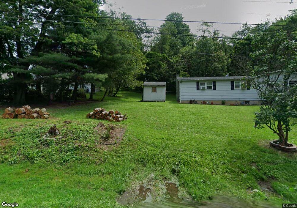
This home is located at 652 S Summit Rd, Bath, PA 18014 and is currently estimated at $328,427, approximately $287 per square foot. 652 S Summit Rd is a home located in Northampton County with nearby schools including Moore Elementary School, Northampton Area Middle School, and Northampton Area High School.
Ownership History
Date
Name
Owned For
Owner Type
Purchase Details
Closed on
Sep 6, 2016
Sold by
Tomsic Michael Stephen
Bought by
Tomsic Stephen P
Current Estimated Value
Home Financials for this Owner
Home Financials are based on the most recent Mortgage that was taken out on this home.
Original Mortgage
$71,250
Outstanding Balance
$56,967
Interest Rate
3.46%
Mortgage Type
Seller Take Back
Estimated Equity
$271,460
Purchase Details
Closed on
Mar 26, 2001
Sold by
Secretary Of Housing & Urban Development
Bought by
Tomsic Raymond S
Purchase Details
Closed on
Dec 18, 2000
Bought by
Secretary Of Housing & Urban Development
Create a Home Valuation Report for This Property
The Home Valuation Report is an in-depth analysis detailing your home's value as well as a comparison with similar homes in the area
Home Values in the Area
Average Home Value in this Area
Purchase History
| Date | Buyer | Sale Price | Title Company |
|---|---|---|---|
| Tomsic Stephen P | $95,000 | Attorney | |
| Tomsic Raymond S | $85,000 | -- | |
| Secretary Of Housing & Urban Development | -- | -- |
Source: Public Records
Mortgage History
| Date | Status | Borrower | Loan Amount |
|---|---|---|---|
| Open | Tomsic Stephen P | $71,250 |
Source: Public Records
Tax History
| Year | Tax Paid | Tax Assessment Tax Assessment Total Assessment is a certain percentage of the fair market value that is determined by local assessors to be the total taxable value of land and additions on the property. | Land | Improvement |
|---|---|---|---|---|
| 2025 | $511 | $47,300 | $22,500 | $24,800 |
| 2024 | $3,430 | $47,300 | $22,500 | $24,800 |
| 2023 | $3,430 | $47,300 | $22,500 | $24,800 |
| 2022 | $3,430 | $47,300 | $22,500 | $24,800 |
| 2021 | $3,438 | $47,300 | $22,500 | $24,800 |
| 2020 | $3,438 | $47,300 | $22,500 | $24,800 |
| 2019 | $3,294 | $47,300 | $22,500 | $24,800 |
| 2018 | $3,243 | $47,300 | $22,500 | $24,800 |
| 2017 | $3,171 | $47,300 | $22,500 | $24,800 |
| 2016 | -- | $47,300 | $22,500 | $24,800 |
| 2015 | -- | $47,300 | $22,500 | $24,800 |
| 2014 | -- | $47,300 | $22,500 | $24,800 |
Source: Public Records
Map
Nearby Homes
- 536 Carol Ln
- 2547 Williams Rd
- 2 Hickory Hills Dr
- 608 Monocacy Dr
- 8 Cedar Ct
- 13 Longwood Cir
- 16 Springridge Rd
- 372 Oxford Cir
- 4 Woodsdale Ct
- 45 Sycamore Dr
- 55 Sycamore Dr
- 998 Newichawnoe St
- 791 Point Phillips Rd
- 2486 Evanwood Rd
- 0 Benders Dr
- 162 Moorestown Dr
- 2040 Church Rd Unit 14
- 1502 Corkscrew Dr Unit 1
- 1525 Corkscrew Dr
- 1506 Corkscrew Dr Unit 2
- 666 S Summit Rd
- 657 S Summit Rd
- 660 S Summit Rd
- 661 S Summit Rd
- 642 S Summit Rd
- 669 S Summit Rd
- 632 S Summit Rd
- 629 S Summit Rd
- 2433 Community Dr
- 676 S Summit Rd
- 676 S Summit Rd
- 628 S Summit Rd
- 2449 Community Dr
- 2413 Community Dr
- 616 S Summit Rd
- 2475 Community Dr
- 0 Community Dr
- 2401 Community Dr
- 2483 Community Dr
- 2470 Community Dr
Your Personal Tour Guide
Ask me questions while you tour the home.