652 SW Oak Rd Port Orchard, WA 98367
Burley NeighborhoodEstimated Value: $499,000 - $593,000
3
Beds
2
Baths
1,300
Sq Ft
$417/Sq Ft
Est. Value
About This Home
This home is located at 652 SW Oak Rd, Port Orchard, WA 98367 and is currently estimated at $541,640, approximately $416 per square foot. 652 SW Oak Rd is a home located in Kitsap County with nearby schools including Burley Glenwood Elementary School, Cedar Heights Middle School, and South Kitsap High School.
Ownership History
Date
Name
Owned For
Owner Type
Purchase Details
Closed on
Nov 21, 2001
Sold by
Luzik Kay E and Bradley Kay E
Bought by
Luzik George R and Luzik Kay E
Current Estimated Value
Home Financials for this Owner
Home Financials are based on the most recent Mortgage that was taken out on this home.
Original Mortgage
$95,800
Interest Rate
6.63%
Create a Home Valuation Report for This Property
The Home Valuation Report is an in-depth analysis detailing your home's value as well as a comparison with similar homes in the area
Home Values in the Area
Average Home Value in this Area
Purchase History
| Date | Buyer | Sale Price | Title Company |
|---|---|---|---|
| Luzik George R | -- | Transnation Title Insurance |
Source: Public Records
Mortgage History
| Date | Status | Borrower | Loan Amount |
|---|---|---|---|
| Previous Owner | Luzik George R | $95,800 |
Source: Public Records
Tax History Compared to Growth
Tax History
| Year | Tax Paid | Tax Assessment Tax Assessment Total Assessment is a certain percentage of the fair market value that is determined by local assessors to be the total taxable value of land and additions on the property. | Land | Improvement |
|---|---|---|---|---|
| 2026 | $3,712 | $421,110 | $95,080 | $326,030 |
| 2025 | $3,712 | $421,110 | $95,080 | $326,030 |
| 2024 | $3,600 | $421,110 | $95,080 | $326,030 |
| 2023 | $3,576 | $421,110 | $95,080 | $326,030 |
| 2022 | $3,417 | $336,920 | $75,790 | $261,130 |
| 2021 | $3,247 | $302,860 | $68,900 | $233,960 |
| 2020 | $3,200 | $290,050 | $67,230 | $222,820 |
| 2019 | $2,708 | $268,800 | $62,140 | $206,660 |
| 2018 | $2,871 | $217,420 | $53,480 | $163,940 |
| 2017 | $2,415 | $217,420 | $53,480 | $163,940 |
| 2016 | $2,356 | $194,090 | $50,930 | $143,160 |
| 2015 | $2,284 | $190,630 | $50,930 | $139,700 |
| 2014 | -- | $179,710 | $53,590 | $126,120 |
| 2013 | -- | $179,710 | $53,590 | $126,120 |
Source: Public Records
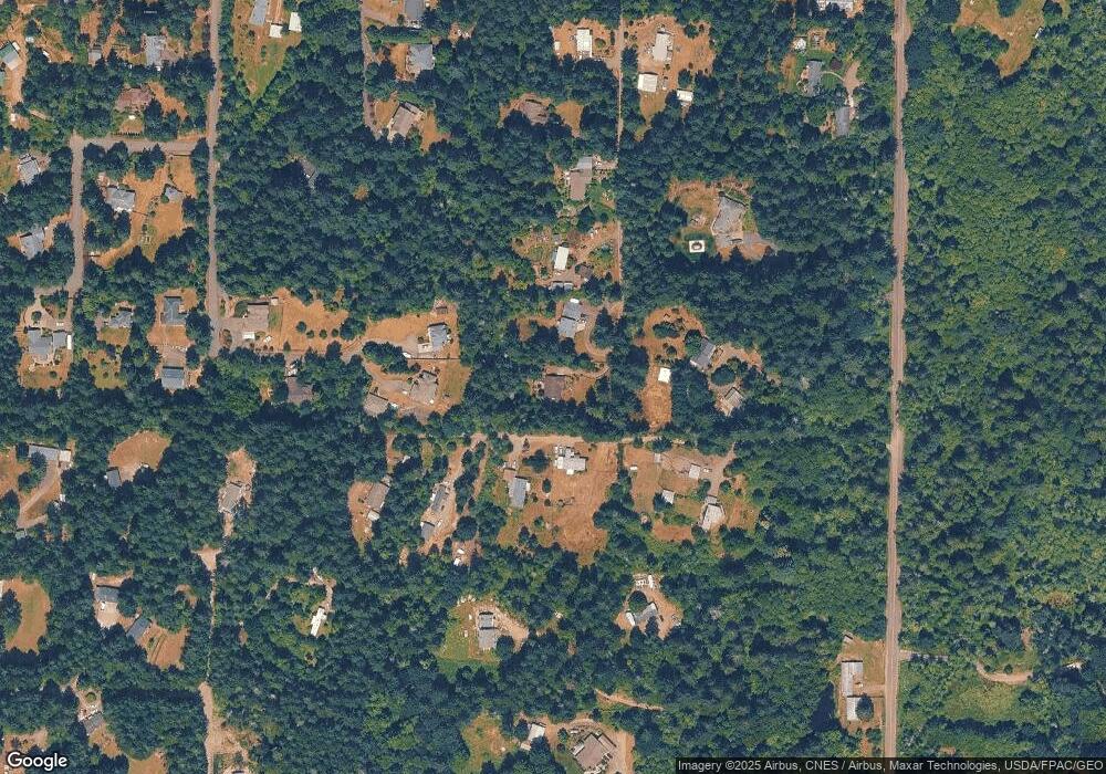
Map
Nearby Homes
- 1204 SE Oak Rd
- 11676 Fry Ave SW
- 146 XX Park Dr SE
- 145 XX Park Dr SE
- 453 SW View Dr
- 1450 SE Spruce Rd
- 11618 Sidney Rd SW
- 12524 Westbrook Dr SW
- 11291 Cooper Ave SW
- 11255 Ridge Rim Trail SE
- 9113 158th Street Ct NW
- 9207 158th Street Ct NW
- 15086 Burley Ave SE
- 10966 Branch Place SE
- 15259 Bethel Burley Rd SE
- 15503 Cedar Park Rd SE Unit 14
- 15503 Cedar Park Rd SE Unit 35C
- 10668 Bethel Burley Rd SE
- 514 SW Hipkins Ct
- 15057 Stevens Rd SE
- 13602 Madrona Rd SW
- 648 SW Oak Rd
- 13399 Stoney Ridge Ln SW
- 13626 Madrona Rd SW
- 13450 Madrona Rd SW
- 13590 Madrona Rd SW
- 13638 Madrona Rd SW
- 642 SW Oak Rd
- 13774 Madrona Rd SW
- 13260 Madrona Rd SW
- 13411 Stoney Ridge Ln SW
- 640 SW Oak Rd
- 13655 Primrose Ln SW
- 796 SW Oak Rd
- 13375 Stoney Ridge Ln SW
- 13343 Stoney Ridge Ln SW
- 13288 Evermore Ln SW
- 638 SW Oak Rd
- 782 SW Oak Rd