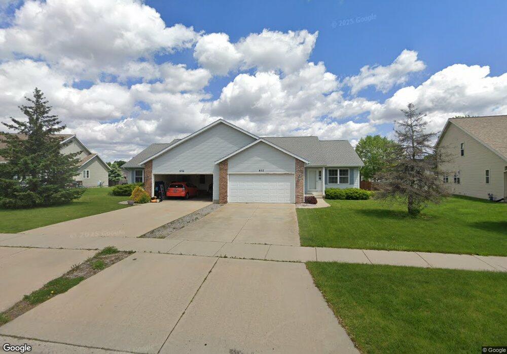
652 Tower Dr Sun Prairie, WI 53590
Northern Sun Prairie NeighborhoodEstimated Value: $414,000 - $490,019
4
Beds
4
Baths
2,512
Sq Ft
$179/Sq Ft
Est. Value
About This Home
This home is located at 652 Tower Dr, Sun Prairie, WI 53590 and is currently estimated at $449,005, approximately $178 per square foot. 652 Tower Dr is a home located in Dane County with nearby schools including Bird Elementary School, Patrick Marsh Middle School, and Peace Lutheran School & Prekindergarten.
Ownership History
Date
Name
Owned For
Owner Type
Purchase Details
Closed on
Jan 2, 2020
Sold by
Miller Daniel R and Miller James D
Bought by
652 Tower Llc
Current Estimated Value
Home Financials for this Owner
Home Financials are based on the most recent Mortgage that was taken out on this home.
Original Mortgage
$236,000
Outstanding Balance
$210,732
Interest Rate
3.6%
Mortgage Type
Commercial
Estimated Equity
$238,273
Create a Home Valuation Report for This Property
The Home Valuation Report is an in-depth analysis detailing your home's value as well as a comparison with similar homes in the area
Home Values in the Area
Average Home Value in this Area
Purchase History
| Date | Buyer | Sale Price | Title Company |
|---|---|---|---|
| 652 Tower Llc | $205,000 | None Available |
Source: Public Records
Mortgage History
| Date | Status | Borrower | Loan Amount |
|---|---|---|---|
| Open | 652 Tower Llc | $236,000 | |
| Previous Owner | Playter Sheryl J | $20,100 |
Source: Public Records
Tax History Compared to Growth
Tax History
| Year | Tax Paid | Tax Assessment Tax Assessment Total Assessment is a certain percentage of the fair market value that is determined by local assessors to be the total taxable value of land and additions on the property. | Land | Improvement |
|---|---|---|---|---|
| 2024 | $8,537 | $426,300 | $64,900 | $361,400 |
| 2023 | $7,815 | $426,300 | $64,900 | $361,400 |
| 2021 | $6,582 | $295,000 | $63,100 | $231,900 |
| 2020 | $6,647 | $295,000 | $63,100 | $231,900 |
| 2019 | $7,170 | $281,500 | $56,300 | $225,200 |
| 2018 | $6,611 | $281,500 | $56,300 | $225,200 |
| 2017 | $6,297 | $281,500 | $56,300 | $225,200 |
| 2016 | $6,299 | $254,600 | $51,300 | $203,300 |
| 2015 | $6,097 | $254,600 | $51,300 | $203,300 |
| 2014 | $6,133 | $254,100 | $51,300 | $202,800 |
| 2013 | $7,347 | $254,100 | $51,300 | $202,800 |
Source: Public Records
Map
Nearby Homes
- 1048 Stonewood Crossing
- 633 Stonehaven Dr
- 856 Saint Albert the Great Dr Unit 856
- 680 Stonehaven Dr
- 208 Scenic Ct
- 1171 School St Unit 1171
- 972 Chandler Ln Unit 972
- 994 Chandler Ln
- 952 Chandler Ln Unit 952
- 955 Liberty Blvd Unit 103
- 1010 Andrews Dr
- 1046 Stonehaven Dr
- 1013 Vandenburg St
- 921 Pine St
- 1325 Bunker Hill Dr Unit 3104
- 1180 Patriot Way
- 706 Woodland Dr
- 6532 N Bird St
- 1294 Saint Albert the Great Dr
- 1295 Stonehaven Dr
- 678 Tower Dr
- 674 Tower Dr Unit 674
- 640 Tower Dr
- 635 Millrun Cir
- 625 Millrun Cir
- 645 Millrun Cir
- 619 Millrun Cir
- 684 Tower Dr
- 632 Tower Dr Unit 632
- 628 Tower Dr Unit 628
- 655 Millrun Cir
- 611 Millrun Cir
- 620 Tower Dr
- 614 Tower Dr
- 665 Millrun Cir
- 634 Millrun Cir
- 624 Millrun Cir
- 644 Millrun Cir
- 614 Millrun Cir
- 1160 Fitness Run