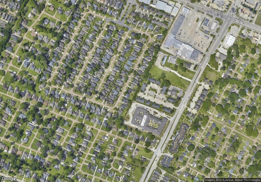
652 Wheatsheaf Dr Baton Rouge, LA 70810
Oak Hills Place NeighborhoodEstimated Value: $401,537 - $434,000
4
Beds
2
Baths
2,245
Sq Ft
$185/Sq Ft
Est. Value
About This Home
This home is located at 652 Wheatsheaf Dr, Baton Rouge, LA 70810 and is currently estimated at $416,134, approximately $185 per square foot. 652 Wheatsheaf Dr is a home located in East Baton Rouge Parish with nearby schools including Woodlawn Middle School, Woodlawn High School, and Montessori School of Baton Rouge.
Ownership History
Date
Name
Owned For
Owner Type
Purchase Details
Closed on
Jun 28, 2001
Sold by
Cooley Richard Todd and Cooley Angele Roth
Bought by
Rose George Ronnie and Rose Jo Anne
Current Estimated Value
Home Financials for this Owner
Home Financials are based on the most recent Mortgage that was taken out on this home.
Original Mortgage
$150,000
Outstanding Balance
$57,680
Interest Rate
7.11%
Estimated Equity
$358,454
Create a Home Valuation Report for This Property
The Home Valuation Report is an in-depth analysis detailing your home's value as well as a comparison with similar homes in the area
Home Values in the Area
Average Home Value in this Area
Purchase History
| Date | Buyer | Sale Price | Title Company |
|---|---|---|---|
| Rose George Ronnie | $225,000 | -- |
Source: Public Records
Mortgage History
| Date | Status | Borrower | Loan Amount |
|---|---|---|---|
| Open | Rose George Ronnie | $150,000 |
Source: Public Records
Tax History Compared to Growth
Tax History
| Year | Tax Paid | Tax Assessment Tax Assessment Total Assessment is a certain percentage of the fair market value that is determined by local assessors to be the total taxable value of land and additions on the property. | Land | Improvement |
|---|---|---|---|---|
| 2024 | $3,326 | $36,244 | $4,500 | $31,744 |
| 2023 | $3,326 | $30,910 | $4,500 | $26,410 |
| 2022 | $3,500 | $30,910 | $4,500 | $26,410 |
| 2021 | $3,432 | $30,910 | $4,500 | $26,410 |
| 2020 | $3,408 | $30,910 | $4,500 | $26,410 |
| 2019 | $3,179 | $27,700 | $4,500 | $23,200 |
| 2018 | $3,138 | $27,700 | $4,500 | $23,200 |
| 2017 | $3,138 | $27,700 | $4,500 | $23,200 |
| 2016 | $2,237 | $27,700 | $4,500 | $23,200 |
| 2015 | $2,005 | $25,600 | $4,500 | $21,100 |
| 2014 | $1,961 | $25,600 | $4,500 | $21,100 |
| 2013 | -- | $25,600 | $4,500 | $21,100 |
Source: Public Records
Map
Nearby Homes
- 662 Wheatsheaf Dr
- 750 Wheatsheaf Dr
- 843 Carnforth Dr
- 1434 Charing Cross Dr
- 9512 Siegen Ln
- 1342 Barkley Dr
- 12092 S Tom Stokes Ct
- 12115 Mirkwood Ave
- 13065 Briar Hollow Ave Unit 7
- 8311 Oakbrook Dr
- 1878 Mullen Dr
- 1922 Mullen Dr
- 11720 Perkins Rd
- 12037 Oak Haven Ave
- 12046 Oak Haven Ave
- 11931 Oakshire Ave
- 12006 Towering Oaks Dr
- 8138 Oakbrook Dr
- 7356 Meadowview Ave
- 1445 Oakdale Dr
- 642 Wheatsheaf Dr
- 710 Wheatsheaf Dr
- 632 Wheatsheaf Dr
- 643 Wheatsheaf Dr
- 653 Wheatsheaf Dr
- 653 Wheatsheaf Dr
- 633 Wheatsheaf Dr
- 622 Wheatsheaf Dr
- 720 Wheatsheaf Dr
- 711 Wheatsheaf Dr
- 623 Wheatsheaf Dr
- 721 Wheatsheaf Dr
- 730 Wheatsheaf Dr
- 613 Wheatsheaf Dr
- 644 Troutbeck Dr
- 654 Troutbeck Dr
- 731 Wheatsheaf Dr
- 634 Troutbeck Dr
- 712 Troutbeck Dr
- 9270 Siegen Ln
