Estimated Value: $175,486 - $201,000
3
Beds
2
Baths
1,352
Sq Ft
$139/Sq Ft
Est. Value
About This Home
This home is located at 6520 N Maple River Rd, Elsie, MI 48831 and is currently estimated at $187,622, approximately $138 per square foot. 6520 N Maple River Rd is a home located in Clinton County with nearby schools including E.E. Knight Elementary School, Leonard Elementary School, and Ovid-Elsie Middle School.
Ownership History
Date
Name
Owned For
Owner Type
Purchase Details
Closed on
Nov 20, 2012
Sold by
Vanostran Frances
Bought by
Schneider Duane
Current Estimated Value
Home Financials for this Owner
Home Financials are based on the most recent Mortgage that was taken out on this home.
Original Mortgage
$73,641
Outstanding Balance
$52,029
Interest Rate
3.87%
Mortgage Type
FHA
Estimated Equity
$135,593
Purchase Details
Closed on
Aug 21, 2007
Sold by
Vanostran Larry L and Vanostran Frances
Bought by
Vanostran Family Revocable Living Trust
Purchase Details
Closed on
Jul 29, 2005
Sold by
Dahlke Hyland Doris J and Hyland James H
Bought by
Vanostran Larry L and Vanostran Frances
Home Financials for this Owner
Home Financials are based on the most recent Mortgage that was taken out on this home.
Original Mortgage
$136,710
Interest Rate
5.71%
Mortgage Type
Fannie Mae Freddie Mac
Create a Home Valuation Report for This Property
The Home Valuation Report is an in-depth analysis detailing your home's value as well as a comparison with similar homes in the area
Home Values in the Area
Average Home Value in this Area
Purchase History
| Date | Buyer | Sale Price | Title Company |
|---|---|---|---|
| Schneider Duane | $75,000 | None Available | |
| Vanostran Family Revocable Living Trust | -- | None Available | |
| Vanostran Larry L | $151,900 | Fatic |
Source: Public Records
Mortgage History
| Date | Status | Borrower | Loan Amount |
|---|---|---|---|
| Open | Schneider Duane | $73,641 | |
| Previous Owner | Vanostran Larry L | $136,710 |
Source: Public Records
Tax History Compared to Growth
Tax History
| Year | Tax Paid | Tax Assessment Tax Assessment Total Assessment is a certain percentage of the fair market value that is determined by local assessors to be the total taxable value of land and additions on the property. | Land | Improvement |
|---|---|---|---|---|
| 2025 | $1,151 | $54,000 | $14,100 | $39,900 |
| 2024 | $437 | $50,100 | $14,100 | $36,000 |
| 2023 | $414 | $47,900 | $0 | $0 |
| 2022 | $1,023 | $43,200 | $14,800 | $28,400 |
| 2021 | $989 | $35,500 | $8,700 | $26,800 |
| 2020 | $959 | $33,800 | $8,700 | $25,100 |
| 2019 | $885 | $31,200 | $8,900 | $22,300 |
| 2018 | $882 | $31,100 | $8,900 | $22,200 |
| 2017 | -- | $30,800 | $9,300 | $21,500 |
| 2016 | -- | $31,600 | $9,300 | $22,300 |
| 2015 | -- | $32,100 | $0 | $0 |
| 2011 | -- | $70,300 | $0 | $0 |
Source: Public Records
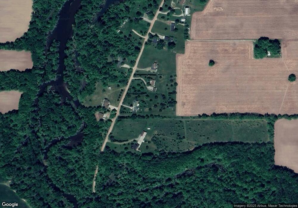
Map
Nearby Homes
- 229 W Maple St
- 204 W Pine St
- 228 E Pine St
- 323 E Main St
- 7060 E Maple Rapids Rd
- 4321 N Upton Rd
- 5752 E Colony Rd
- 0 E Colony Rd Unit 286182
- 11550 S Wisner Rd
- 000 W Huff Rd
- 218 W High St
- 228 W Pearl St
- 6687 Winfield Rd
- 306 N Main St
- 222 N Main St
- 7902 N Welling Rd
- 210 W Front St
- 217 W Clinton St
- 2920 Boulder Creek Dr
- 9882 W M 21
- 6531 N Maple
- 6580 N Maple River Rd
- 6531 N Maple River Rd
- 6531 N Maple River Rd
- 6466 N Maple River Rd
- 6600 N Maple River Rd
- 6587 N Maple River Rd
- 6608 N Maple River Rd
- 6700 N Maple River Rd
- 0 Maple Unit 74130
- 6701 N Maple River Rd
- 6712 N Maple River Rd
- 6712 N Maple River Rd
- 6734 N Maple River Rd
- 6800 N Maple River Rd
- 6132 N Maple River Rd
- 6822 N Maple River Rd
- 6822 N Maple River Rd
- 6402 N Lusk Rd
- 6953 N Maple River Rd