6520 State Route 161 Germantown, IL 62245
Estimated Value: $166,000
--
Bed
2
Baths
1,404
Sq Ft
$118/Sq Ft
Est. Value
About This Home
This home is located at 6520 State Route 161, Germantown, IL 62245 and is currently estimated at $166,000, approximately $118 per square foot. 6520 State Route 161 is a home located in Clinton County with nearby schools including Germantown Elementary School and Central Community High School.
Ownership History
Date
Name
Owned For
Owner Type
Purchase Details
Closed on
Mar 10, 2022
Sold by
Eversgerd Neal
Bought by
Eversgerd Neal and Eversgerd Jacque
Current Estimated Value
Purchase Details
Closed on
Feb 4, 2021
Sold by
Albers Ruth A and Albers Harold B
Bought by
Eversgerd Neal H
Home Financials for this Owner
Home Financials are based on the most recent Mortgage that was taken out on this home.
Original Mortgage
$713,628
Interest Rate
3.25%
Mortgage Type
New Conventional
Create a Home Valuation Report for This Property
The Home Valuation Report is an in-depth analysis detailing your home's value as well as a comparison with similar homes in the area
Home Values in the Area
Average Home Value in this Area
Purchase History
| Date | Buyer | Sale Price | Title Company |
|---|---|---|---|
| Eversgerd Neal | -- | Highland Community Title | |
| Eversgerd Neal | -- | None Available | |
| Eversgerd Neal H | $486,500 | None Available |
Source: Public Records
Mortgage History
| Date | Status | Borrower | Loan Amount |
|---|---|---|---|
| Previous Owner | Eversgerd Neal H | $713,628 |
Source: Public Records
Tax History Compared to Growth
Tax History
| Year | Tax Paid | Tax Assessment Tax Assessment Total Assessment is a certain percentage of the fair market value that is determined by local assessors to be the total taxable value of land and additions on the property. | Land | Improvement |
|---|---|---|---|---|
| 2024 | $5,853 | $105,360 | $20,940 | $84,420 |
| 2023 | $5,823 | $100,810 | $18,950 | $81,860 |
| 2022 | $5,793 | $83,330 | $17,150 | $66,180 |
| 2021 | $4,612 | $79,620 | $15,440 | $64,180 |
| 2020 | $3,508 | $75,190 | $13,850 | $61,340 |
| 2019 | $4,240 | $73,990 | $12,650 | $61,340 |
| 2018 | $4,322 | $72,064 | $11,224 | $60,840 |
| 2017 | $4,299 | $71,076 | $10,236 | $60,840 |
| 2016 | $4,241 | $70,178 | $9,338 | $60,840 |
| 2015 | $3,355 | $69,362 | $8,522 | $60,840 |
| 2013 | $3,355 | $70,945 | $7,295 | $63,650 |
Source: Public Records
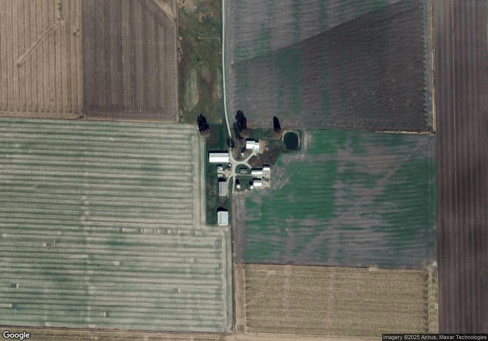
Map
Nearby Homes
- 244 Walnut
- 228 Walnut
- 751 E 4th St
- 4810 Airport Rd
- 315 Briarwood Ln
- 10 S Hull St
- 330 S 5th St
- 429 S 6th St
- 620 S 6th St
- 436 S 2nd St
- 325 N Walnut St
- 290 N Elm St
- 923 N 6th St
- 12702 Crestview Ln
- 126 Jefferson Dr
- 12746 Rolling Hills Dr
- 14501 Saint Rose Rd
- 1144 Emily Ln
- 13898 Lincoln Dr
- 13964 Best One Dr
- 6540 State Route 161
- 6565 State Route 161
- 6322 State Route 161
- 6318 State Route 161
- 6727 State Route 161
- 6306 State Route 161
- 6860 State Route 161
- 6305 State Route 161
- 6180 State Route 161
- 8700 Hunter Rd
- 8712 Woodlane Rd
- 8923 Woodlane Rd
- 8522 Woodlane Rd
- 6251 State Route 161
- 8475 Woodlane Rd
- 8516 Woodlane Rd
- 8424 Woodlane Rd
- 8433 Woodlane Rd
- 8281 Woodlane Rd
- 8359 Woodlane Rd