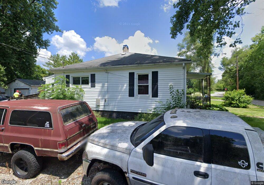
6521 Apache St Dayton, OH 45424
Estimated Value: $96,000 - $142,000
2
Beds
1
Bath
768
Sq Ft
$154/Sq Ft
Est. Value
About This Home
This home is located at 6521 Apache St, Dayton, OH 45424 and is currently estimated at $118,303, approximately $154 per square foot. 6521 Apache St is a home located in Montgomery County with nearby schools including Wayne High School.
Ownership History
Date
Name
Owned For
Owner Type
Purchase Details
Closed on
May 27, 1993
Bought by
Clark Elizabeth S
Current Estimated Value
Create a Home Valuation Report for This Property
The Home Valuation Report is an in-depth analysis detailing your home's value as well as a comparison with similar homes in the area
Home Values in the Area
Average Home Value in this Area
Purchase History
| Date | Buyer | Sale Price | Title Company |
|---|---|---|---|
| Clark Elizabeth S | $36,200 | -- |
Source: Public Records
Tax History Compared to Growth
Tax History
| Year | Tax Paid | Tax Assessment Tax Assessment Total Assessment is a certain percentage of the fair market value that is determined by local assessors to be the total taxable value of land and additions on the property. | Land | Improvement |
|---|---|---|---|---|
| 2024 | $879 | $15,170 | $2,880 | $12,290 |
| 2023 | $879 | $15,170 | $2,880 | $12,290 |
| 2022 | $1,094 | $15,170 | $2,880 | $12,290 |
| 2021 | $1,097 | $15,170 | $2,880 | $12,290 |
| 2020 | $1,099 | $15,170 | $2,880 | $12,290 |
| 2019 | $1,078 | $13,140 | $2,600 | $10,540 |
| 2018 | $1,081 | $13,140 | $2,600 | $10,540 |
| 2017 | $1,074 | $13,140 | $2,600 | $10,540 |
| 2016 | $1,113 | $13,330 | $2,880 | $10,450 |
| 2015 | $1,100 | $13,330 | $2,880 | $10,450 |
| 2014 | $1,100 | $13,330 | $2,880 | $10,450 |
| 2012 | -- | $14,220 | $3,850 | $10,370 |
Source: Public Records
Map
Nearby Homes
- 6512 Shore Dr
- 6494 Shore Dr
- Milford Plan at Canal Heights
- Cortland Plan at Canal Heights
- Chatham Plan at Canal Heights
- Fairfax Plan at Canal Heights
- Johnstown Plan at Canal Heights
- Newcastle Plan at Canal Heights
- Holcombe Plan at Canal Heights
- Bellamy Plan at Canal Heights
- 827 Foxfire Trail
- 679 Deerhurst Dr
- 4572 Keeneland Ct
- 715 Deerhurst Dr
- 710 Deerhurst Dr
- Fairfax Plan at Foxfire - Maple Street Collection
- Yosemite Plan at Foxfire - Maple Street Collection
- Cumberland Plan at Foxfire - Maple Street Collection
- Jensen Plan at Foxfire - Maple Street Collection
- Beacon Plan at Foxfire - Maple Street Collection
- 6541 Apache St
- 4081 Cree Ave
- 6421 Apache St
- 6475 Rip Rap Rd
- 4081 Chippewa Ave
- 6461 Rip Rap Rd
- 6575 Shore Dr
- 6557 Shore Dr
- 4097 Mohegan Ave
- 6580 Shore Dr
- 6624 Rip Rap Rd
- 4085 Mohegan Ave
- 4085 Mohegan Ave
- 4085 Mohegan Ave
- 4085 Mohegan Ave
- 4085 Mohegan Ave
- 4085 Mohegan Ave
- 6420 Rip Rap Rd
- 6560 Shore Dr
- 6353 Apache St