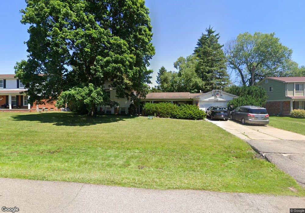
6521 Post Oak Dr West Bloomfield, MI 48322
Estimated Value: $389,551 - $464,000
3
Beds
3
Baths
2,347
Sq Ft
$181/Sq Ft
Est. Value
About This Home
This home is located at 6521 Post Oak Dr, West Bloomfield, MI 48322 and is currently estimated at $423,638, approximately $180 per square foot. 6521 Post Oak Dr is a home located in Oakland County with nearby schools including Sheiko Elementary School, West Bloomfield Middle School, and Bloomfield Maples Montessori.
Ownership History
Date
Name
Owned For
Owner Type
Purchase Details
Closed on
Oct 25, 2002
Sold by
Sharif and Curtis S
Bought by
Sharif Curtis S
Current Estimated Value
Home Financials for this Owner
Home Financials are based on the most recent Mortgage that was taken out on this home.
Original Mortgage
$230,600
Interest Rate
6.25%
Purchase Details
Closed on
May 1, 1997
Sold by
Miller Donald A
Bought by
Hanauer Michael
Home Financials for this Owner
Home Financials are based on the most recent Mortgage that was taken out on this home.
Original Mortgage
$140,000
Interest Rate
7.38%
Purchase Details
Closed on
Oct 7, 1994
Sold by
Schultz Marshall D
Bought by
Miller Donald A
Home Financials for this Owner
Home Financials are based on the most recent Mortgage that was taken out on this home.
Original Mortgage
$143,100
Interest Rate
8.55%
Create a Home Valuation Report for This Property
The Home Valuation Report is an in-depth analysis detailing your home's value as well as a comparison with similar homes in the area
Home Values in the Area
Average Home Value in this Area
Purchase History
| Date | Buyer | Sale Price | Title Company |
|---|---|---|---|
| Sharif Curtis S | -- | -- | |
| Hanauer Michael | $175,000 | -- | |
| Miller Donald A | $159,000 | -- |
Source: Public Records
Mortgage History
| Date | Status | Borrower | Loan Amount |
|---|---|---|---|
| Previous Owner | Sharif Curtis S | $230,600 | |
| Previous Owner | Hanauer Michael | $140,000 | |
| Previous Owner | Miller Donald A | $143,100 |
Source: Public Records
Tax History Compared to Growth
Tax History
| Year | Tax Paid | Tax Assessment Tax Assessment Total Assessment is a certain percentage of the fair market value that is determined by local assessors to be the total taxable value of land and additions on the property. | Land | Improvement |
|---|---|---|---|---|
| 2024 | $2,332 | $154,490 | $0 | $0 |
| 2022 | $2,233 | $136,750 | $40,000 | $96,750 |
| 2021 | $3,398 | $128,560 | $0 | $0 |
| 2020 | $2,188 | $127,160 | $34,100 | $93,060 |
| 2018 | $3,272 | $114,460 | $28,150 | $86,310 |
| 2015 | -- | $92,760 | $0 | $0 |
| 2014 | -- | $83,010 | $0 | $0 |
| 2011 | -- | $77,510 | $0 | $0 |
Source: Public Records
Map
Nearby Homes
- 6545 Post Oak Dr
- 6564 Alderley Way
- 6624 Mellow Wood Ln
- 5312 Cambourne Place
- 7023 Wild Ridge Ln
- 3035 Parkland Dr
- 6769 Heather Heath
- 7209 Stonebrook Rd
- 7251 N Briarcliff Knoll Dr
- 5815 Bloomfield Glens Rd
- 7477 Gramercy Cir Unit 17
- 7479 Gramercy Cir Unit 16
- 7027 Beverly Crest Dr
- 6843 Leslee Crest Dr
- 7335 Coach Ln
- 7250 Ten Hill
- 7507 Gramercy Cir
- 6800 N Clunbury Rd
- 5881 Naneva Ct
- 7496 Cornwall Ct
- 6533 Post Oak Dr
- 6509 Post Oak Dr
- 6516 Post Oak Dr
- 6530 Post Oak Dr
- 5300 Centerbrook Dr
- 5319 Centerbrook Dr
- 6542 Post Oak Dr
- 6557 Post Oak Dr
- 5308 Centerbrook Dr
- 6523 Alderley Way
- 6554 Post Oak Dr
- 6535 Alderley Way
- 5333 Centerbrook Dr
- 5316 Centerbrook Dr
- 6547 Alderley Way
- 5324 Centerbrook Dr
- 6569 Post Oak Dr
- 6566 Post Oak Dr
- 6581 Alderley Way
- 5332 Centerbrook Dr