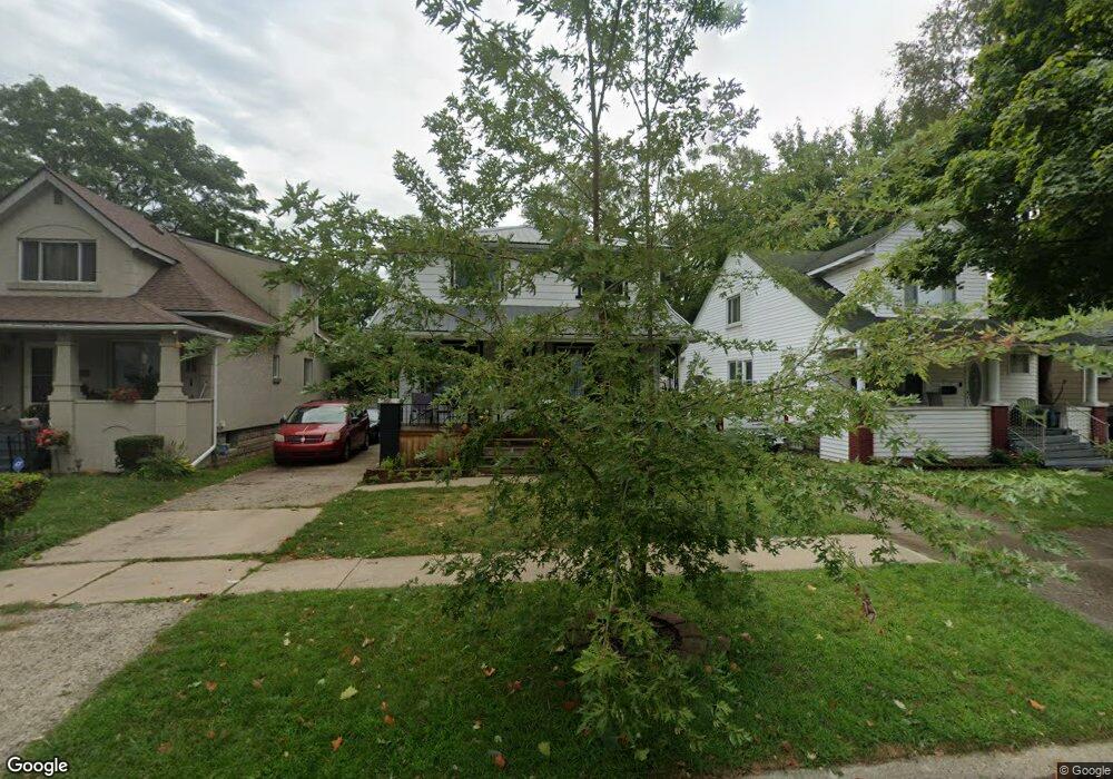
6521 Westpoint St Taylor, MI 48180
Estimated Value: $173,407 - $187,000
--
Bed
--
Bath
1,512
Sq Ft
$119/Sq Ft
Est. Value
About This Home
This home is located at 6521 Westpoint St, Taylor, MI 48180 and is currently estimated at $179,852, approximately $118 per square foot. 6521 Westpoint St is a home located in Wayne County with nearby schools including Clarence Randall Elementary School, Hoover Middle School, and West Village Academy.
Ownership History
Date
Name
Owned For
Owner Type
Purchase Details
Closed on
Jan 31, 2020
Sold by
Balentine James and Balentine Frances
Bought by
Dicesare Kimberlie and Dicesare Fernando James
Current Estimated Value
Purchase Details
Closed on
Aug 22, 2003
Sold by
Balentine James and Mounce Frances Y
Bought by
Balentine James
Home Financials for this Owner
Home Financials are based on the most recent Mortgage that was taken out on this home.
Original Mortgage
$80,029
Interest Rate
6.44%
Mortgage Type
FHA
Create a Home Valuation Report for This Property
The Home Valuation Report is an in-depth analysis detailing your home's value as well as a comparison with similar homes in the area
Home Values in the Area
Average Home Value in this Area
Purchase History
| Date | Buyer | Sale Price | Title Company |
|---|---|---|---|
| Dicesare Kimberlie | -- | None Available | |
| Balentine James | -- | Transnation Title Insurance |
Source: Public Records
Mortgage History
| Date | Status | Borrower | Loan Amount |
|---|---|---|---|
| Previous Owner | Balentine James | $80,029 |
Source: Public Records
Tax History Compared to Growth
Tax History
| Year | Tax Paid | Tax Assessment Tax Assessment Total Assessment is a certain percentage of the fair market value that is determined by local assessors to be the total taxable value of land and additions on the property. | Land | Improvement |
|---|---|---|---|---|
| 2025 | $1,742 | $83,000 | $0 | $0 |
| 2024 | $1,742 | $74,500 | $0 | $0 |
| 2023 | $3,576 | $70,800 | $0 | $0 |
| 2022 | $1,663 | $68,400 | $0 | $0 |
| 2021 | $3,562 | $60,800 | $0 | $0 |
| 2020 | $2,630 | $49,500 | $0 | $0 |
| 2019 | $351,721 | $45,400 | $0 | $0 |
| 2018 | $2,034 | $44,100 | $0 | $0 |
| 2017 | $2,751 | $39,400 | $0 | $0 |
| 2016 | $3,164 | $38,200 | $0 | $0 |
| 2015 | $3,227 | $34,000 | $0 | $0 |
| 2013 | $3,126 | $35,700 | $0 | $0 |
| 2012 | $1,675 | $35,000 | $4,800 | $30,200 |
Source: Public Records
Map
Nearby Homes
- 6511 Westpoint St Unit Bldg-Unit
- 6511 Westpoint St
- 6529 Westpoint St
- 6505 Westpoint St
- 6537 Westpoint St
- 6537 Westpoint St Unit 2
- 6537 W Point St
- 6485 Westpoint St
- 6545 Westpoint St
- 6477 Westpoint St
- 6553 Westpoint St
- 6522 Westpoint St
- 6512 Westpoint St
- 6530 Westpoint St
- 6538 Westpoint St
- 6506 Westpoint St
- 6469 Westpoint St
- 6561 Westpoint St
- 6546 Westpoint St
- 6486 Westpoint St